Litija - Janče (via Širmanski hrib)
Starting point: Litija (238 m)
Starting point Lat/Lon: 46.0575°N 14.8242°E 
Path name: via Širmanski hrib
Time of walking: 3 h 30 min
Difficulty: easy marked way
Difficulty of skiing: no data
Altitude difference: 554 m
Altitude difference (by path): 554 m
Map: Posavsko hribovje zahodni del 1:50.000
Access to starting point:
Railway station Litija - to Litija we can get with a train in the direction of Zidani most - Ljubljana or Ljubljana - Zidani most, or on the road direction Ljubljana - Litija.
Path description:
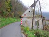
From the railway station Litija we go over the bridge to the right bank of river Sava, where we immediately turn right, at first past the pharmacy, then again right along river Sava past Plečnik's monument of the fallen soldiers and other victims NOB or on a local road towards Kresnice. Past the building AMD Litija on our right after few minutes we get to the oldest house in Litija (decaying), on which there is information board for mountain path on Janče and TV transmitter/Sitarjevec (Rudnik). Just behind the house we step left in the forest (to here from the railway station there is 10 minutes). We follow the blazes on a forest path and after approx 15 minutes we come to the turn-off for Rudnik, and we continue straight. Out of the forest we come on a macadam road and after 100 meters to a crossroad (406 meters), where signs point us straight. After few minutes, we get to a wooden cross at the hayrack, and in front of us there is homestead Arhova domačija with business buildings. We are on the eastern part of Širmanski hrib. To here from Litija there is a good hour of walking.
We continue on the road past the homestead and by the meadow we again step into the forest (at the crossing we stick to the right). After approx 15 minutes we are at the next homestead, just behind it there is a turn-off to the left towards Velika Štanga, and we go straight on the middle path (here our path joins the beekeeping-forest learning path) and after few minutes we get to the next house. We follow the macadam road past the cross and in few minutes we are at the next farm. From here we on the road slightly descend to another farm and from there into the forest. We soon come to a crossing: to the left there is a learning path, and we go to the right, towards Janče. The forest path is slightly ascending to some houses. Eventually, the path again widens and we come to a crossing, where our path goes left and slightly downwards. To Janče we have another 1h 30min.
We descend in Mala Štanga (550−640 meters) and we follow the asphalt road which at the turn-off for Velika Štanga passes into a well-hardened macadam. Here we go straight and we follow the road about 2 km all the way to the village Tuji Grm (710 meters). At the turn-off we turn right uphill, and on the top of the slope left. We continue on the road through Tuji Grm, and at the chapel we turn from the road right on a meadow past the hayrack (if we miss the turn-off, there will be nothing serious, the path after few 100 meters joins again). When we get through the spruce tree-lined path on the road again, we cross it and immediately on the other side we look for further path (behind the gate, where there is a sign for the end of the settlement). A short steep path through the forest brings us on a meadow, which we cross on the right and we are already on Janče. In front of us we can already see a belfry of the church and when we cross the main road, we go straight, to the mountain hut on Jančah (794 meters). To here from Litija approx 3h 30min.
We can return on the same path, or we choose the mountain path to Jevnica (1h 30min), where we are again at the railway station.
Pictures:
 1
1 2
2 3
3 4
4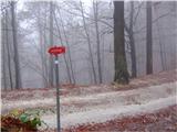 5
5 6
6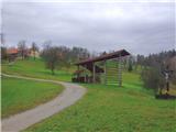 7
7 8
8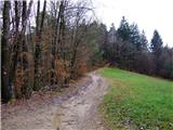 9
9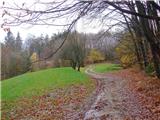 10
10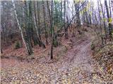 11
11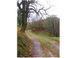 12
12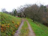 13
13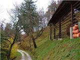 14
14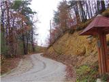 15
15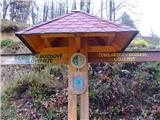 16
16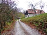 17
17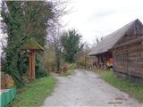 18
18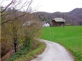 19
19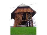 20
20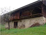 21
21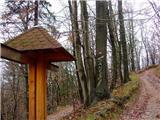 22
22 23
23 24
24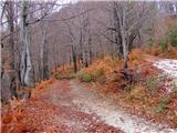 25
25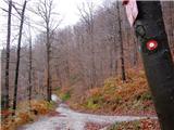 26
26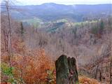 27
27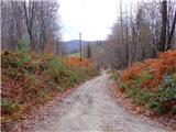 28
28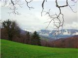 29
29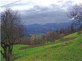 30
30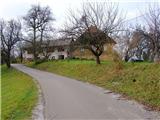 31
31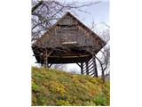 32
32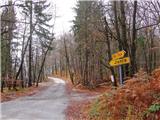 33
33 34
34 35
35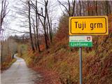 36
36 37
37 38
38 39
39 40
40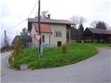 41
41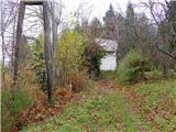 42
42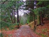 43
43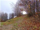 44
44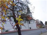 45
45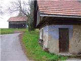 46
46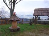 47
47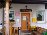 48
48