Ljubelj - Koča na Prevalu (Bornova way)
Starting point: Ljubelj (1058 m)
Starting point Lat/Lon: 46.4324°N 14.2602°E 
Path name: Bornova way
Time of walking: 1 h 30 min
Difficulty: partly demanding unmarked way
Difficulty of skiing: more demanding
Altitude difference: 253 m
Altitude difference (by path): 300 m
Map: Karavanke - osrednji del 1:50.000
Access to starting point:
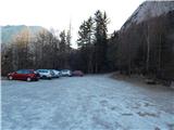
From highway Ljubljana - Jesenice we go to the exit Ljubelj and follow the road ahead to the border crossing. Only few meters before the border crossing signs for Zelenica point us to the left and after few 10 meters of additional driving the road brings us on a parking lot below the ski center Zelenica.
Path description:
At the end of the large macadam parking lot we will notice wooden mountain sign with the caption mountain pasture Preval, which points us in the forest on a footpath which quickly brings us to the foot of the scree. Here we come on a smaller crossing, where we will on rock notice a sign Prevala and Roblekov dom left. A gently sloping path then from scree quickly moves into a dense forest, which is exposed to falling stones. A wide path then passes out of the forest on a steep and well-secured slopes. Panoramic path, then brings us to Born's tunnel, where we will use a lamp. At the crossing through the tunnel be careful because of larger number of puddles and occasionally low ceiling. On the other side of the tunnel for some time we walk on the path which is nicely routed on the east walls of Begunjščica, and then we pass on the scree, which we only cross. Next follows a shorter crossing of steep forest slopes, and then the path starts slightly ascending on a less steep slope. Still a wide path, which is only moderately ascending, higher joins the marked path from Podljubelj.
Here we continue right and we follow a wide path to the mountain pasture Preval-a, which we reach after few minutes of additional walking.
Pictures:
 1
1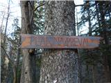 2
2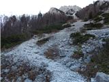 3
3 4
4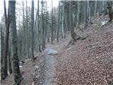 5
5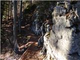 6
6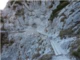 7
7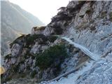 8
8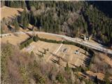 9
9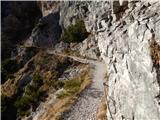 10
10 11
11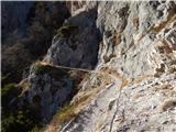 12
12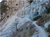 13
13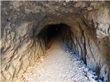 14
14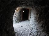 15
15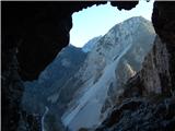 16
16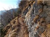 17
17 18
18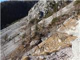 19
19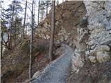 20
20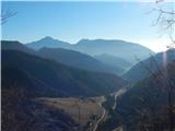 21
21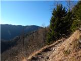 22
22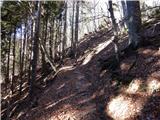 23
23 24
24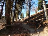 25
25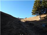 26
26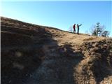 27
27 28
28 29
29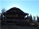 30
30 31
31