Ljubelj - Srednji vrh (above Završnica) (via source of Završnica)
Starting point: Ljubelj (1058 m)
Starting point Lat/Lon: 46.4324°N 14.2602°E 
Path name: via source of Završnica
Time of walking: 2 h 40 min
Difficulty: easy marked way
Difficulty of skiing: easily
Altitude difference: 738 m
Altitude difference (by path): 860 m
Map: Karavanke - osredji del 1:50.000
Access to starting point:
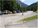
From highway Ljubljana - Jesenice, at the junction Podtabor we continue in the direction of Ljubelj and Tržič. We continue driving on a highway, after that regional road which we follow all the way to the border crossing Ljubelj. Just before the border crossing we turn left (direction Zelenica) and then after few 10 meters of additional driving, we park on a large parking lot.
Path description:
From the parking lot, we go on a footpath in the direction of Zelenica, Vrtača and Stol. Cart track which runs on the left side of the ski track, after approximately 15 minutes of a moderate ascent through the forest brings us to the before mentioned track by which we are then ascending. The path which offers nice views on extensive scree of Begunjščica on the left and to a ridge of Ljubeljščica on the right then in a gentle ascent brings us to the hut Vrtača. From the mountain hut, we continue straight on a marked path, which slowly turns slightly to the left and after a shorter diagonal ascent brings us into a lane of dwarf pines. Further, the path is for a short time steeply ascending and then brings us on a cart track (transport road), which we follow in a moderate ascent to the mountain hut Dom na Zelenici.
From the mountain hut Koča na Zelenici we continue right in the direction of Stol and Vrtača (left Begunjščica on the path which immediately behind the hut turns left and it ascends by children's ski lift. Somewhere on the halfway of the ski lift we come on a less noticeable crossing, where the path to Vrtača branches off to the right. We continue straight on the path which quickly brings us to the top of the children's ski lift. Further, we continue on a wide path which starts moderately descending at first by the edge of the other ski lift and then through the forest. After approximately 20 minutes of walking from Dom na Zelenici path brings us to the mountain hut Koča pri izviru Završnice.
Here we continue right in the direction of Vrtača and Stol on the path which quickly passes over from Smokuška planina in a smaller at first indistinct valley between Srednji vrh on the left and Vrtača on the right. A moderately steep path after a good half an hour of walking from Smokuška planina brings us on a saddle Šija, where there is the next crossing.
From the saddle, we continue left upwards (straight - Stol, right - Vrtača) on an occasionally hard to follow path, which in the middle part runs on a little steeper ridge (in the winter time dangerous for slipping). Higher, the path turns slightly to the left and through a lane of dwarf pines ascends on a panoramic peak.
Ljubelj - Zelenica 1:20, Zelenica - Koča pri izviru Završnice 20 minutes, Koča pri izviru Završnice - Srednji vrh 1:00.
Pictures:
 1
1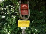 2
2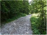 3
3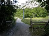 4
4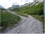 5
5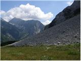 6
6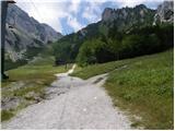 7
7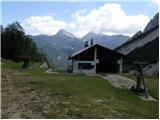 8
8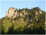 9
9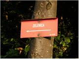 10
10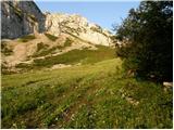 11
11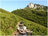 12
12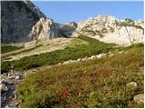 13
13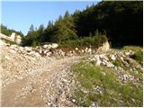 14
14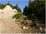 15
15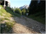 16
16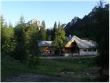 17
17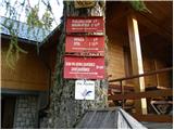 18
18 19
19 20
20 21
21 22
22 23
23 24
24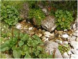 25
25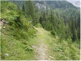 26
26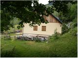 27
27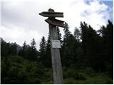 28
28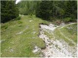 29
29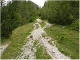 30
30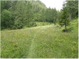 31
31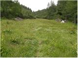 32
32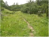 33
33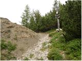 34
34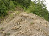 35
35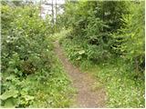 36
36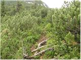 37
37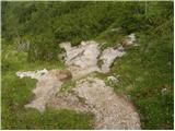 38
38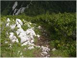 39
39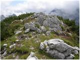 40
40