Ljubljana (Bokalce) - Klobuk pri Ljubljani
Starting point: Ljubljana (Bokalce) (310 m)
Starting point Lat/Lon: 46.0518°N 14.4467°E 
Time of walking: 30 min
Difficulty: easy unmarked way
Difficulty of skiing: no data
Altitude difference: 131 m
Altitude difference (by path): 140 m
Map: Ljubljana - okolica 1:50.000
Access to starting point:
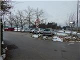
From western Ljubljana bypass highway, we go to the exit Brdo, and then we continue driving in the direction Vrhovci. Further, we drive past shopping center Lesnina Brdo, and then we get to a roundabout, from which we go on the second exit. When only a little further we get to the next crossroad, we turn right and we park on a macadam parking lot.
Path description:
From the starting point, we go on street Grič, by which there is also a sign for dead-end street. On the road, we slightly ascend to the last house, and from there we continue on a cart track which goes into the forest. On the cart track, we are few minutes ascending diagonally, and then we get to forested ridge Utika, which is some kind of southeastern ridge of Klobuk. A little further signs for hunting cottage point us from the cart track slightly to the right on a footpath which is still ascending on and by the mentioned ridge. The path soon returns on a cart track, and then continues alternately on a cart track and footpath, and at the crossings we stick to that direction, which the most sticks to the ridge. Higher, the path for some time ascends a little steeper, and then already brings us to the hunting cottage Lovska koča na Klobuku.
Before cottage we continue left, where the path in few 10 strides it brings us out of the forest. When we step out of the forest to a panoramic summit separates us few additional strides.
Description and pictures refer to a condition in the year 2015 (November).
Pictures:
 1
1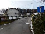 2
2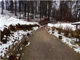 3
3 4
4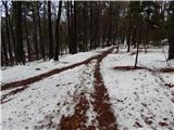 5
5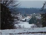 6
6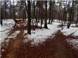 7
7 8
8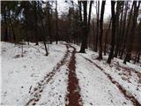 9
9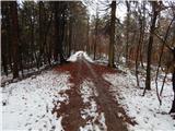 10
10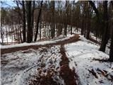 11
11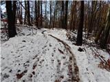 12
12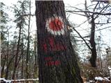 13
13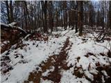 14
14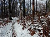 15
15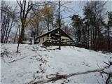 16
16 17
17 18
18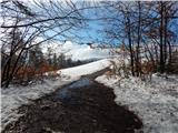 19
19 20
20 21
21 22
22