Ljubljana (Koseze) - Cankarjev vrh (Rožnik) (on footpath)
Starting point: Ljubljana (Koseze) (312 m)
Starting point Lat/Lon: 46.0658°N 14.4746°E 
Path name: on footpath
Time of walking: 30 min
Difficulty: easy unmarked way
Difficulty of skiing: no data
Altitude difference: 82 m
Altitude difference (by path): 90 m
Map: Ljubljana - okolica 1:50.000
Access to starting point:
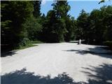
A) From western Ljubljana bypass road we go to the exit Ljubljana Brdo, and then we continue driving in the direction of ZOO. Further, we drive on the road Pot za Brdom, and then at the traffic light crossroad we continue left in the direction of zoo. When after approximately 1 km of additional driving, we get to a crossroad with the road Večna pot, and we continue left in the direction of Šiška and Center (right zoo). Further, we drive on the road Večna pot, where opposite of football field macadam road branches off to the right, which runs in Mostec. Here we continue straight, and after good 100 meters right on other macadam road, by which we park.
B) From the crossroad of Celovška cesta and Šišenska cesta, we continue on the road Šišenska cesta, and then at the crossroads we continue straight or in the direction of ZOO. When we get to the road Večna pot, we will after approximately 200 meters come to the pedestrian crossing and smaller crossroad. After the pedestrian crossing on the left side there is our starting point, but because from the road we are not allowed to turn left, we drive a little further to the spot, where the road towards Mostec branches off to the left. Here we turn left, turn around and on the road Večna pot return to the pedestrian crossing, where now we turn right on a macadam road, by which we park.
Path description:
From the starting point, by which there is situated drinking water from a tap, we continue straight, where at first we cross asphalt path intended for pedestrians and cyclists and we continue on a macadam road. By the road is further also some options for parking, and we soon continue right on a wide sand path, which at first lightly descends to a smaller stream. After the stream, the path starts ascending a little and then quickly brings us to recreational park Mostec, where there are guesthouse, playground, boules court... From benches and tables at the inn we continue right over a small bridge to the nearby playground, above which we step on a macadam road. We follow the road to the left, when the road turns left, from there in the direction of straight worse road branches off, and here we continue right on a well-beaten footpath which starts ascending through the forest. After approximately 10 minutes of ascent we step on a wide cart track which we follow to the right, and there we quickly get to a macadam road. We follow the road to the right as well, and there we quickly ascend to the inn and few 100 meters ahead also to the church on Cankarjev vrh.
Description and pictures refer to a condition in the year 2015 (July).
Pictures:
 1
1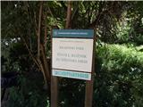 2
2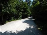 3
3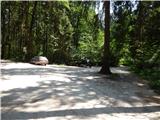 4
4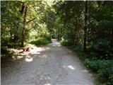 5
5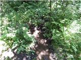 6
6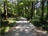 7
7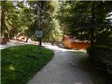 8
8 9
9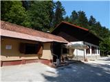 10
10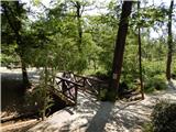 11
11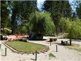 12
12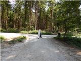 13
13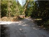 14
14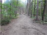 15
15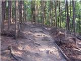 16
16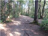 17
17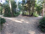 18
18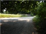 19
19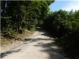 20
20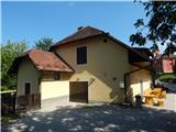 21
21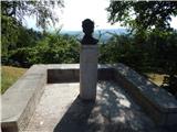 22
22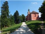 23
23 24
24 25
25