Ljubljana (Rakovnik) - Luknje
Starting point: Ljubljana (Rakovnik) (306 m)
Starting point Lat/Lon: 46.0373°N 14.5247°E 
Time of walking: 30 min
Difficulty: easy unmarked way
Difficulty of skiing: no data
Altitude difference: 132 m
Altitude difference (by path): 145 m
Map: Ljubljana - okolica 1:50.000
Access to starting point:
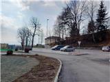
We drive on the road Dolenjska cesta in Ljubljana, where at the crossroad with Galjevica we turn towards the northeast towards the nearby health center Rudnik and Rakovnik church. We can park on an appropriate place by the church.
Path description:
From the parking lot, we continue on the asphalt road past a music school, which quickly brings us to the chapel of Our Lady of Lourdes, which is located on our left. We for a short time still continue on the road and then we go left past the gates. Next follows an ascent on a cart track which brings us on a panoramic meadow where there is also a crossing.
At the crossing where there are bench and panoramic plate from the right joins the path from football fields, which leads past the pond. We continue slightly left where also signposts by the path point us to. Here we otherwise also join themed trails Srčna pot and V gozd po zdravje. From the meadow where there are few more benches, the path quickly brings us into the forest, where from the left join also other paths from Rakovnik church. We continue straight and after few minutes of a little steeper ascent, the path again brings us to a crossing where we continue right. Here we can on the tree also notice few faded green blazes.
Further, the path becomes less steep and crosses forested slopes. Here we will by the path also notice a sign with exercises of themed trail V gozd po zdravje. Later from the left joins the path which runs higher by the fence of a shooting range. There are again benches by the path. We still continue on a gentle path through the forest and then we soon join a macadam road.
We continue right on the road which brings us to a crossroad at Astronomical observatory. At the crossroad, there are also information boards and drinking water (in the winter time the tap is closed).
At the crossroad, we go slightly left on a footpath where also the signpost for Planetarij point us to.
From the crossing, the path steeply ascends, and higher when the path flattens, from the left joins also one a little less beaten path. Further, the path also slightly descends, and then follows only the last ascent to the top where there are information boards and models with astronomical educational content.
On the way: Observatorij Golovec (380m)
Pictures:
 1
1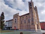 2
2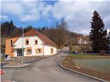 3
3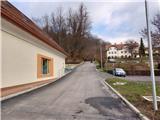 4
4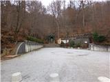 5
5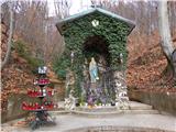 6
6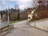 7
7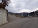 8
8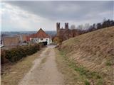 9
9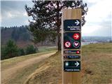 10
10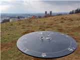 11
11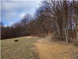 12
12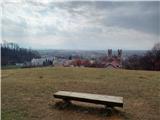 13
13 14
14 15
15 16
16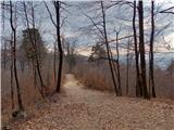 17
17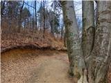 18
18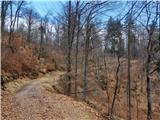 19
19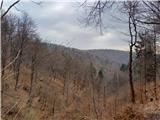 20
20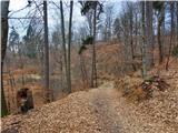 21
21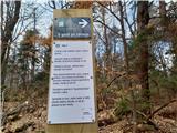 22
22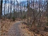 23
23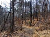 24
24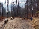 25
25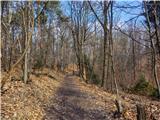 26
26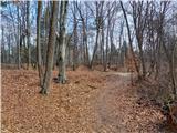 27
27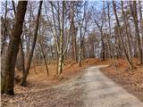 28
28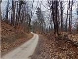 29
29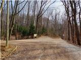 30
30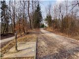 31
31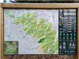 32
32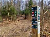 33
33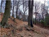 34
34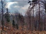 35
35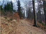 36
36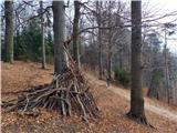 37
37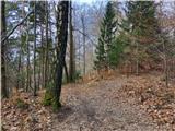 38
38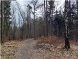 39
39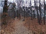 40
40 41
41 42
42 43
43