Lončarovci - Močvara (Lončarovci) (Pot po močvari)
Starting point: Lončarovci (257 m)
Starting point Lat/Lon: 46.76511°N 16.27642°E 
Path name: Pot po močvari
Time of walking: 15 min
Difficulty: easy marked way
Difficulty of skiing: no data
Altitude difference: 0 m
Altitude difference (by path): 2 m
Map: Pomurje 1:40.000
Access to starting point:
From the road Murska Sobota - Moravske Toplice, in the settlement Martjanci we turn left in the direction of Krnci (from the direction Moravske Toplice we turn right). Further, we drive through the settlement Sebeborci and Andrejci, and when we get to a little bigger crossroad near the home of spirituality Kančevci we continue right in the direction of Prosenjakovci, Berkovci, Ratkovci and Kančevci, there is also a sign for Močvara. Next follows some descent, and after crossing stream Ratkovski potok we again start ascending and we get to the main part of the settlement Kančevci. In Kančevci we go left towards Močvara, and when we ascend a little, we go right towards Lončarovci. From the crossroad after the cemetery in Ratkovci we go left on a priority road. Next follows some descent and we get to Močvara, where at the crossroad we go to the right in the direction of the parking lot (left - Lončarovci) to which we get to after approximately 200 meters of additional driving.
Path description:
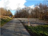
From the parking lot, we return on an asphalt road to Močvara, where we leave the road and we go on a wooden path, which is raised above the swamp. Further, we walk on a learning path, by which there are some information boards, and at a smaller crossing, we choose the right path, which is then turning more and more to the left and past a smaller tower brings us back to the last crossing, from where we continue on the same path to the starting point.
The entire path from the parking lot to the parking lot takes about 15 minutes without stopping.
Description and pictures refer to a condition in December 2021.
Pictures:
 1
1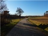 2
2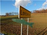 3
3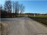 4
4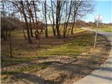 5
5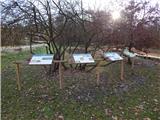 6
6 7
7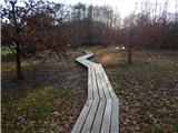 8
8 9
9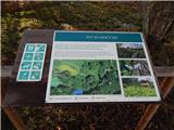 10
10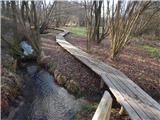 11
11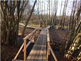 12
12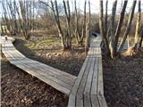 13
13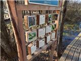 14
14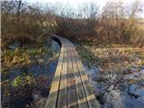 15
15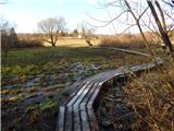 16
16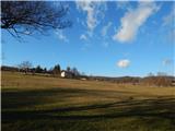 17
17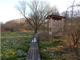 18
18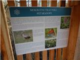 19
19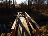 20
20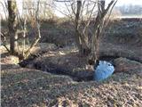 21
21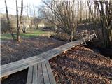 22
22