Lovrenc na Pohorju - Lasina
Starting point: Lovrenc na Pohorju (436 m)
Starting point Lat/Lon: 46.54195°N 15.38604°E 
Time of walking: 3 h 45 min
Difficulty: easy pathless terrain
Difficulty of skiing: no data
Altitude difference: 976 m
Altitude difference (by path): 1000 m
Map: Pohorje 1:50.000
Access to starting point:
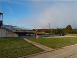
A) From the road Maribor - Dravograd, between HE Fala and HE Ožbalt we turn left towards Lovrenc na Pohorju (from the direction Dravograd we turn right). On the other side of Drava we start ascending along Radoljna, and at the marked crossroad, we go slightly right on the main road towards Lovrenc na Pohorju. When we get to the settlement Lovrenc na Pohorju we follow the main road, in the center of the settlement, we turn right towards the primary school, where we park on a parking lot by the school. We can also park elsewhere in the settlement, where there are few settled free parking spots.
B) We drive into Ruše, and then we follow the road towards Lovrenc na Pohorju. In the settlement Činžat we get to a saddle, where the road starts descending, and lower we go left towards Lovrenc na Pohorju. When we get to the settlement Lovrenc na Pohorju we follow the main road, in the center of the settlement, we turn right towards the primary school, where we park on a parking lot by the school. We can also park elsewhere in the settlement, where there are few settled free parking spots.
Path description:
From the parking lot, we return to the center of the settlement, and then we are ascending by the main road towards the southwest. After few minutes, we get to a marked crossroad, where we continue left in the direction of Klopni vrh and Pesek. A gentle descent follows, and when the road turns right, we again start lightly ascending. The path ahead leads us past succursal church of St. Radegunda, where there is also an option of parking. We continue on a sidewalk, and when the sidewalk ends we go right on a side road, on which we quickly get to another road which we follow to the right. Further, we walk also past the last houses of the settlement Lovrenc na Pohorju, and the road passes into the gorge of the stream Radoljna.
On the part, where the gorge narrows, the marked path branches off to the left towards Klopni vrh, and we go slightly right and we continue walking on the asphalt road. Higher, we go past snack bar Sgerm, and at the crossroads, we follow the signs for Pesek. Eventually we leave the valley of Radoljna and we get to the gorge of the stream Plešiščica, where we go past MHE Lakožič. On the asphalt road, we walk also to the left turn, where blazes point us straight on a cart track which continues along the stream.
Immediately after we leave the road, the cart track splits, and we continue on the right, less distinct, which continues along the stream. Few minutes we are lightly ascending by the right bank of the stream and then we cross it over the footbridge, where additional caution is needed. On the other side, we follow the blazes, and after few minutes we reach a macadam road which we follow to the left. The road after few minutes of easy ascent again leads on the right bank of the stream and only few steps after the bridge we leave it and we continue right on a marked path. Next follows a little more overgrown path, where at few crossings we follow the blazes, and the path also goes a little away from quite a loud stream. Further, we go also through part overgrown by young spruces, after which we quickly get to a forest road which we follow to the right. When we in front of us notice a wooden cottage we go from the road left, so that we bypass the cottage on the left side and for a short time, we are ascending along a smaller stream. A little further, by the edge of the forest, the path turns right and passes into the forest, where we continue on a wider cart track and at the crossings we follow it in the direction of the blazes. Next follows a relatively short ascent through the forest, whereupon we cross the forest road and we again continue through the forest. When few minutes higher, we once again step on the road we follow it to the right. Few minutes we walk on the road, and then we go slightly left on a steeper cart track which starts ascending diagonally, and at few crossings as usually we follow the blazes. Higher, the path flattens and in few minutes we get to a wider macadam road, where there is a marked crossroad.
We choose the right road which leads towards Koča na Pesku and Rogla, and when the road turns a little to the left, we leave it and at a poorly marked crossing we continue straight on a cart track. On the cart track, we ascend steeper, and at numerous crossings we carefully follow the blazes. The path higher flattens and splits.
To the left continues the marked path which leads further towards Koča na Pesku, and we continue straight on an unmarked footpath which in few minutes comes out of the forest, where there are ruins of the cottage Kocafurova koča and new wooden pavilion.
Here we go right and we continue walking on easier pathless terrain, and we stick somehow to the northern direction. After few minutes of light to moderate ascent through the forest we get to the indistinct peak of Lasina.
Description and pictures refer to a condition in October 2021.
Pictures:
 1
1 2
2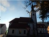 3
3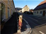 4
4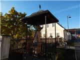 5
5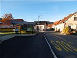 6
6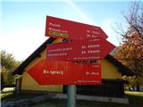 7
7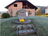 8
8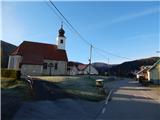 9
9 10
10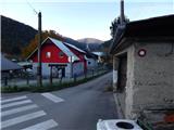 11
11 12
12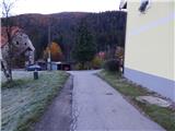 13
13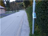 14
14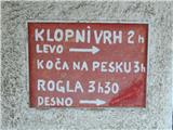 15
15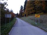 16
16 17
17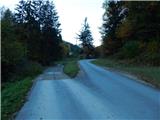 18
18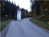 19
19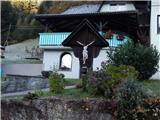 20
20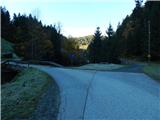 21
21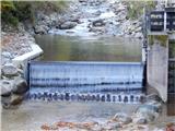 22
22 23
23 24
24 25
25 26
26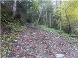 27
27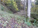 28
28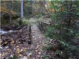 29
29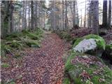 30
30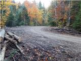 31
31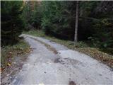 32
32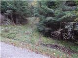 33
33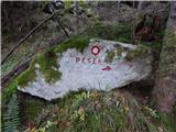 34
34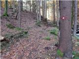 35
35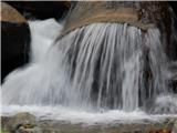 36
36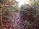 37
37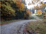 38
38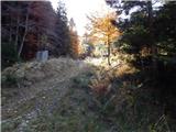 39
39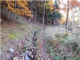 40
40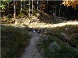 41
41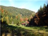 42
42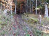 43
43 44
44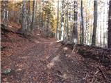 45
45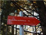 46
46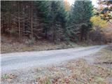 47
47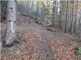 48
48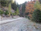 49
49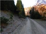 50
50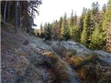 51
51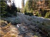 52
52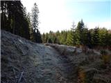 53
53 54
54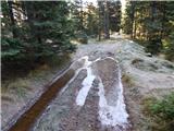 55
55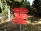 56
56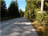 57
57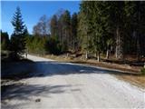 58
58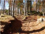 59
59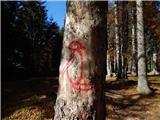 60
60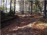 61
61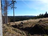 62
62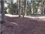 63
63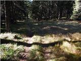 64
64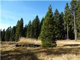 65
65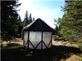 66
66 67
67 68
68 69
69