Lovrenc na Pohorju - Sveti Ignacij (Rdeči Breg)
Starting point: Lovrenc na Pohorju (450 m)
Starting point Lat/Lon: 46.5348°N 15.3792°E 
Time of walking: 2 h 5 min
Difficulty: easy marked way
Difficulty of skiing: no data
Altitude difference: 435 m
Altitude difference (by path): 435 m
Map: Pohorje 1:50.000
Access to starting point:
A) With a car we drive from Maribor in the direction towards Dravograd. Approximately 20 km from Maribor we turn left on the bridge over the river Drava. Below the railway bridge in hamlet Ruta we continue driving straight. At the next crossroad, we turn right, and then we drive through the hamlet Puščava. Then the road brings us in the settlement Kurja vas, where at the crossroad we stick straight. On the bottom side we see a very known factory of scythes and sickles, after approx. 2 km we get to the center of the settlement Lovrenc na Pohorju, where we can already park on an appropriate place.
B) First, we drive to Dravograd, and then we continue driving towards Maribor. Few kilometers after the settlement Ožbalt we turn right on the bridge over the river Drava. Further, we follow the description above.
Path description:
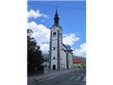
We start in the center of Lovrenc at the church of the Cross at Spodnji trg 4. We go in the direction towards the west past the monument and on the street past the primary school.
At the crossroad, we turn left on the road which is descending through the forest to the next crossroad, where we cross the stream Slepnica. We again turn to the left direction and we continue on the road along the stream. After approximately 200 meters signpost points us to the right (direction Sveti Ignacij). The path becomes a macadam, and at the next crossroad the road splits on three branches. We go on middle as the sign on the power line pole point us to. The road is ascending uphill below the homestead. Soon a view opens up on the main Pohorje and settlement Lovrenc na Pohorju. Higher, we turn to the right and we go through the yard of a farm and ahead into the forest. For some time the path is ascending, then it is less steep and is turning to the left diagonally on a slope. Out of the forest we step into an orchard, to the left below the house on the edge of the forest, where again a nice view opens up. Ahead we go in the forest on the forest road, but only few meters or to the spot, where on the left we notice a blaze, which points us on a footpath. We several times cross the road, we stick to the left directions and then we go steeply upwards. When we again step on the road we go in the direction of homestead Zgornji Dobnik. We cross the yard, through a meadow and we go again into the forest. Past the religious symbol by the path, we come to a crossing, where we stick to the left direction (to the right goes the path to the hunting cottage Glančnik). Out of the forest we come on a meadow, on which we get to homestead Hudej (843 meters). We step on the road, where we are at the crossing. Signpost points us left (direction Sveti Ignacij and Hlebov vrh).
We continue on the road, by which there are themed points. Further, we walk past the homestead and through a shorter lane of a forest. Now we see Hlebov vrh on the right side, and we walk on the road to the homestead Hleb and after 5 minutes we are at the church of St. Ignacij (890 meters).
Pictures:
 1
1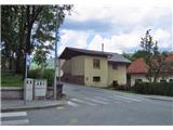 2
2 3
3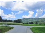 4
4 5
5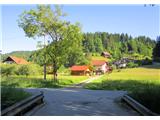 6
6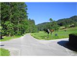 7
7 8
8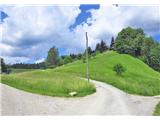 9
9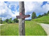 10
10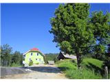 11
11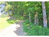 12
12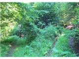 13
13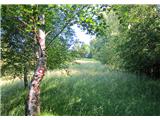 14
14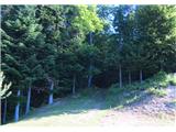 15
15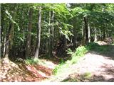 16
16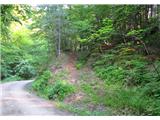 17
17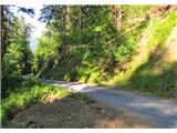 18
18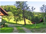 19
19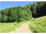 20
20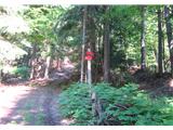 21
21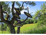 22
22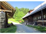 23
23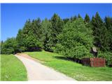 24
24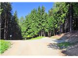 25
25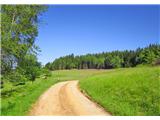 26
26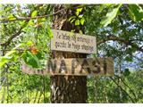 27
27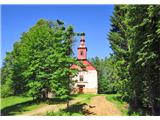 28
28