Lovrenški most - Chapel of St. Ana in Puščava
Starting point: Lovrenški most (302 m)
Starting point Lat/Lon: 46.56276°N 15.42582°E 
Time of walking: 20 min
Difficulty: easy marked way
Difficulty of skiing: no data
Altitude difference: 28 m
Altitude difference (by path): 35 m
Map: Pohorje 1:50.000
Access to starting point:
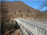
From the road Maribor - Dravograd we drive to the bridge Lovrenški most, where we turn in the direction of Lovrenc na Pohorju. We cross the bridge, and after the bridge we go right and we park on an appropriate place near the crossroad.
Path description:
From the starting point, we continue on the asphalt road in the direction of Lovrenc na Pohorju. At first, we go under the railway track, and then we continue by the left edge of the road which on some parts can be quite dangerous in terms of traffic. The road which runs above the left bank of Radoljna, after approximately 15 minutes of walking, it brings us to a crossroad, where we go straight (left - Ruše, Činžat...).
Immediately after the crossroad, we get to the settlement Puščava, and at the inn Kores we leave the main road and we continue sharply left and in few 10 strides we descend to the church of Mary Help of Christians.
Behind the church, we go through the bridge over Radoljna, and on the other side of the bridge we go left (right - we return to the road which leads towards Činžat) and then we go right on a footpath, on which we quickly ascend to the chapel of St. Ana.
Description and pictures refer to a condition in February 2022.
Pictures:
 1
1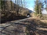 2
2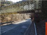 3
3 4
4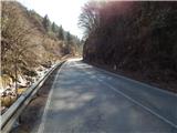 5
5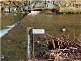 6
6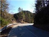 7
7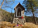 8
8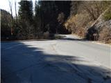 9
9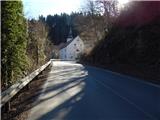 10
10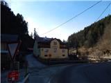 11
11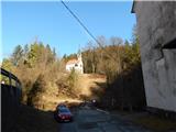 12
12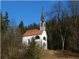 13
13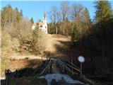 14
14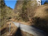 15
15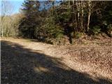 16
16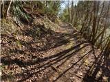 17
17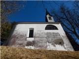 18
18 19
19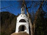 20
20 21
21