Makekova Kočna - Visoki vrh above Jezersko
Starting point: Makekova Kočna (900 m)
Starting point Lat/Lon: 46.3931°N 14.5009°E 
Time of walking: 1 h 30 min
Difficulty: easy unmarked way
Difficulty of skiing: no data
Altitude difference: 559 m
Altitude difference (by path): 559 m
Map: Kamniške in Savinjske Alpe 1:50.000
Access to starting point:
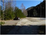
From highway Ljubljana - Jesenice we go to the exit Kranj - vzhod and follow the road ahead in the direction of Jezersko. In Jezersko at the bus stop we turn right into a valley of Makekova Kočna (direction waterfall Čedca, Veliki vrh and mountain hut Češka koča). The road then over a bridge crosses Jezernica, and only few meters ahead at the crossroad at the chapel, we turn left towards the nearby sports field by which we park.
Path description:
From the parking lot, we return to the chapel, and then we for some time continue on the asphalt road which ascends through a panoramic meadow. Higher, the road passes to the edge of the forest, and at this spot, we continue left in the direction of the mountain hut Češka koča and homestead Zupan (straight waterfall Čedca and Veliki vrh). After 150 meters the road at mentioned farm ends, and we continue the ascent on a marked cart track, and it quickly brings us to a little larger clearing. Here blazes point us to the left on the mountain path, on which in few minutes we ascend to the nearby forest road. We follow the road to the left, and it soon makes a sharp right turn and then above a lonely house ascends even steeper. We continue on the road only a short time, after that mountain signpost for mountain hut Češka koča points us left on an ascending cart track. We for some time continue the ascent on a cart track, and it higher crosses quite ruined forest road. Cart track, which runs through the forest, gradually changes into a pleasant forest footpath, and it quickly brings us to a well.
Above the well path steeply ascends, and then turns a little towards the right, where after few minutes of additional walking joins the cart track. We continue straight on occasionally quite panoramic path, and it higher passes into a dense forest and brings us on a small saddle Kačji rob.
On the mentioned saddle, where the marked path turns right, we continue left steeply upwards on an unmarked footpath which ascends on the south ridge of Visoki vrh. We continue the ascent on easy followable footpath which higher flattens and brings us out of the forest. When we step out of the forest, to the top separates us only a minute of panoramic walking on the upper slope of the mountain.
On the way: Pri studencu (1230m), Za Jezerci (1320m), Kačji rob (1340m)
Pictures:
 1
1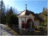 2
2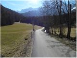 3
3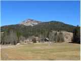 4
4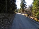 5
5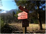 6
6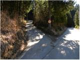 7
7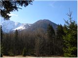 8
8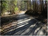 9
9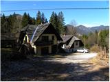 10
10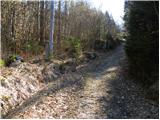 11
11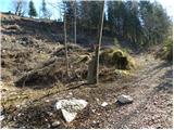 12
12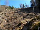 13
13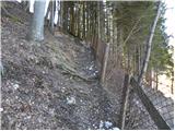 14
14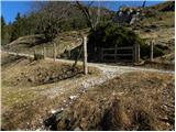 15
15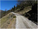 16
16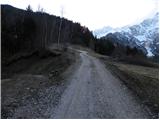 17
17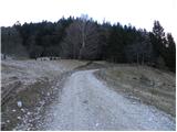 18
18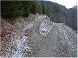 19
19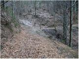 20
20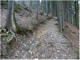 21
21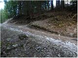 22
22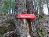 23
23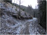 24
24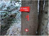 25
25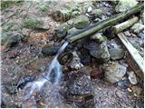 26
26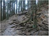 27
27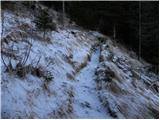 28
28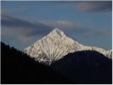 29
29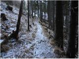 30
30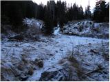 31
31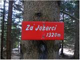 32
32 33
33 34
34 35
35 36
36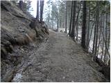 37
37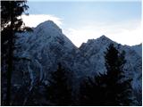 38
38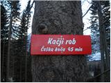 39
39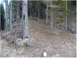 40
40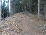 41
41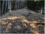 42
42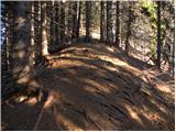 43
43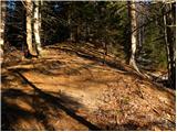 44
44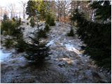 45
45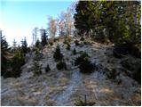 46
46 47
47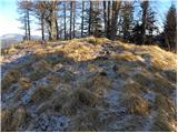 48
48 49
49 50
50