Mala Lazna - Mrzovec (by road)
Starting point: Mala Lazna (1100 m)
Starting point Lat/Lon: 45.981°N 13.8262°E 
Path name: by road
Time of walking: 2 h 30 min
Difficulty: easy unmarked way
Difficulty of skiing: no data
Altitude difference: 310 m
Altitude difference (by path): 400 m
Map: Goriška 1:50.000
Access to starting point:
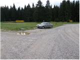
First, we drive on Lokve (to here from Nova Gorica or Most na Soči), and then we continue driving in the direction of Predmeja. When we come to a larger meadow, where at the crossroad we notice numerous signposts, we are on Mala Lazna.
Possible is also access from Predmeja.
Path description:
From Mala Lazna we go on a gently sloping cart track which continues parallel with the road which leads towards Predmeja. After few minutes of easy walking we come on a southwest edge of Mala Lazna, where there is larger number of tables and benches. Here we notice the beginning of the forest path, on which we quickly ascend to the nearby forest road which we then follow to the right. Only few meters ahead we will get to an information board, which marks the beginning of natural monument Smrečje. We continue on a macadam road, and after a short descent it brings us to a nice grassy plain named Avška Lazna. Here the road flattens and further leads through an ample mostly spruce forests. A little further, at Turkova Frata, we join a wider and partly asphalt road which brings us to meadows Gospodove senožeti. The mentioned road, we follow to the right, and it soon becomes asphalted and starts ascending steeper. Higher, we come on a saddle Prevala, where the forest road branches off to the left, which is closed for public traffic. We continue on the asphalt road for few meters, after that, when it starts descending we notice on the right side an other forest road and next to it a green gate. We go on the mentioned road which starts moderately ascending through the forest, meanwhile through the treetops view opens up a little towards the sea. A little further, we come to a smaller crossroad, where we continue on the right ascending road, and which after a few shorter zig-zags gradually flattens and it brings us to the next crossing. This time we continue slightly left and we continue on a gently sloping road which continues towards the foot of the Petelinovec (1362 meters). Here the road which again starts ascending at first turns right, and then it gradually starts turn off more and more towards the left. Higher, we cross a panoramic slope, the road then turns to the right, where after a short diagonal ascent brings us on the saddle between the already mentioned Petelinovec and Mrzovec. We continue on the road which gets close to Mrzovec, and then it turns to the right and changes into more and more grassy and overgrown cart track. Cart track is gradually turn-off towards the left, so that we almost circle the peak. When we are already on the north side of the peak, marked path from the village Lokve joins, and we for some time continue on a cart track. Only few 10 meters ahead cart track ends, we continue slightly left on a marked footpath, on which in 5 minutes of additional walking, we ascend to the summit of Mrzovec.
On the way: Avška Lazna (1080m), Turkova Frata (1060m), Prevala (1080m)
Pictures:
 1
1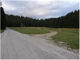 2
2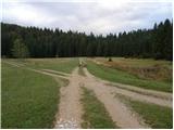 3
3 4
4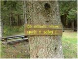 5
5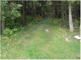 6
6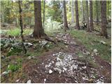 7
7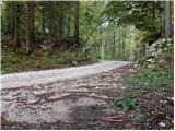 8
8 9
9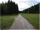 10
10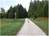 11
11 12
12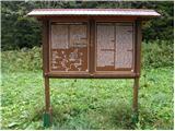 13
13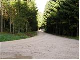 14
14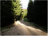 15
15 16
16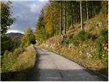 17
17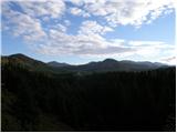 18
18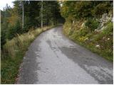 19
19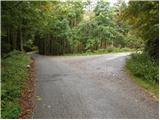 20
20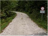 21
21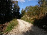 22
22 23
23 24
24 25
25 26
26 27
27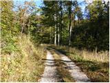 28
28 29
29 30
30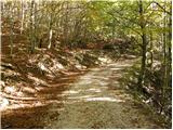 31
31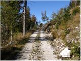 32
32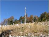 33
33 34
34 35
35 36
36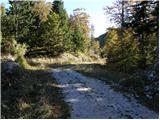 37
37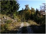 38
38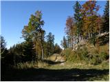 39
39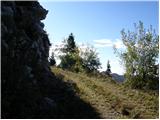 40
40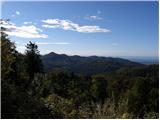 41
41 42
42 43
43 44
44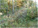 45
45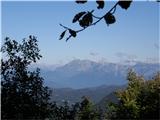 46
46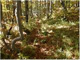 47
47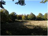 48
48 49
49 50
50