Mali Log - Koča na Kamnem griču
Starting point: Mali Log (810 m)
Starting point Lat/Lon: 45.7214°N 14.5909°E 
Time of walking: 50 min
Difficulty: easy marked way
Difficulty of skiing: no data
Altitude difference: 206 m
Altitude difference (by path): 250 m
Map:
Access to starting point:
A) First, we drive to Sodražica, and then we continue driving in the direction of the settlement Hrib-Loški Potok. Before we get to the mentioned settlement, signs for Mali Log and eponymous industrial zone point us to the right, on a slightly narrower road, on which we quickly get to the mentioned settlement. We continue through the industrial zone, and then at the bigger chapel we continue right. We continue driving past a few houses, and after the house number Mali Log 14 we continue right on the road, on which after a short ascent, we get above the village, where we notice hiking signposts. We park at a suitable place near the signposts; lower in the village there are no designated parking spaces.
B) First, we drive to Nova vas na blokah, and from there we continue driving towards the settlement Hrib-Loški Potok. Before we get to the mentioned settlement, signs for Mali Log point us to the left on an ascending road. When we get to Mali Log, at the house with house number Mali Log 15 we turn left on the road, on which after a short ascent, we get above the village, where we notice hiking signposts. We park at a suitable place near the signposts; lower in the village there are no designated parking spaces.
Path description:
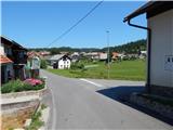
From the signposts we continue in the direction of Travna Gora and Kamni grič, on the road which already after a few tens of meters brings us to a smaller intersection, where we continue right. When the meadow along which the road runs ends, we enter the forest and begin to ascend moderately. After a short ascent the road forks, and we continue on the right one, along which quite frequent markings also continue. Higher the road levels out, a little further ahead it begins to descend more steeply. When the road levels out, at another small intersection we continue straight ahead, then we carefully cross the main road Sodražica - Hrib-Loški Potok, where we also notice signs for the mountain hut Koča na Kamnem griču.
On the other side of the road the road first descends slightly, then begins to ascend moderately through the forest. Higher it leads us past a memorial plaque, a sign and a smaller hut, then after another short ascent we arrive at a marked junction, where we continue left towards the mountain hut Koča na Kamnem griču (straight to Koča na Travni Gori, Nova Štifta... right to Hrib-Loški Potok...).
The poorer road then leads us through increasingly sparse forest, higher across a fairly panoramic grassy slope. We reach the hut, which we already see ahead in the final stretch, in just over 5 minutes of ascent from the junction with numerous mountaineering signposts.
Description and pictures refer to the condition in 2015 (August).
Pictures:
 1
1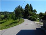 2
2 3
3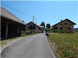 4
4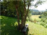 5
5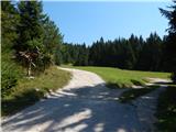 6
6 7
7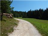 8
8 9
9 10
10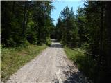 11
11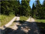 12
12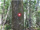 13
13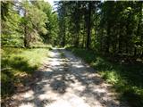 14
14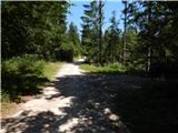 15
15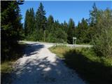 16
16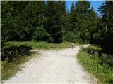 17
17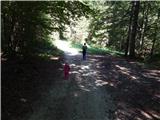 18
18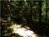 19
19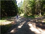 20
20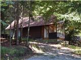 21
21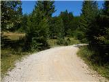 22
22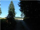 23
23 24
24 25
25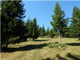 26
26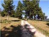 27
27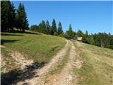 28
28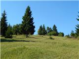 29
29 30
30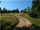 31
31 32
32