Mariborska koča - Mariborski razglednik (Cigelnica)
Starting point: Mariborska koča (1086 m)
Starting point Lat/Lon: 46.50183°N 15.55649°E 
Time of walking: 30 min
Difficulty: easy marked way
Difficulty of skiing: no data
Altitude difference: 61 m
Altitude difference (by path): 75 m
Map: Pohorje 1:50.000
Access to starting point:
We leave Štajerska highway at exit for Slivnica and Rogoza, and then we follow the signs for Pohorje and Areh. The path ahead leads us through Spodnje and Zgornje Hoče, Slivniško Pohorje, and after the settlements we follow the signs for Areh, and higher signs for Mariborska koča. We park on a parking lot a little before Mariborska koča.
Path description:
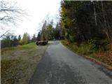
From the parking lot before Mariborska koča in the direction of arrival to the starting point we return to the nearby marked crossing, from which we go on a side road in the direction of Sveti Bolfenk and hotel Bellevue. We continue on a side road which leads us through the settlement of holiday cottages, in the settlement we continue on the upper left road which starts ascending steeper (straight - Sveti Bolfenk and hotel Bellevue). Settlement of holiday cottages after few minutes ends, and we continue on a marked cart track, where at the crossings of numerous logging trails we follow the blazes. Higher, we reach the path which leads via Ledinekov kogel, and we continue right and we start lightly descending. Only a little further from the left joins the path which leads via Pečke.
The path ahead brings us out of the forest and we get to a lookout tower on Mariborski razglednik.
Description and pictures refer to a condition in November 2022.
Pictures:
 1
1 2
2 3
3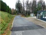 4
4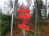 5
5 6
6 7
7 8
8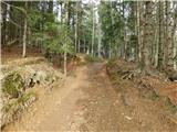 9
9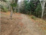 10
10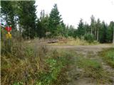 11
11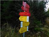 12
12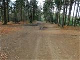 13
13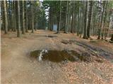 14
14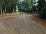 15
15 16
16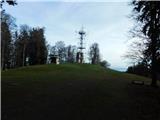 17
17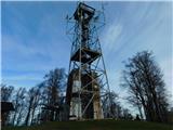 18
18