Martinje (sports center Martinje) - Tromejnik / Dreiländerecke / Harmashatar
Starting point: Martinje (sports center Martinje) (386 m)
Starting point Lat/Lon: 46.85005°N 16.13858°E 
Time of walking: 1 h
Difficulty: easy marked way
Difficulty of skiing: no data
Altitude difference: 4 m
Altitude difference (by path): 90 m
Map: Pomurje 1:40.000
Access to starting point:
A) We drive to Murska Sobota, and then we continue driving towards the border crossing Hodoš. In Gornji Petrovci from a little bigger crossroad we continue left in the direction of settlements Kuzma and Martinje. Before the beginning of the settlement Martinje we turn right on a larger parking lot by the cemetery and sports center Martinje, where we park.
B) We drive to Kuzma, and then we follow the road towards Petrovci. At the end of the settlement Martinje (road sign with the caption Trdkova Martinje) we drive also past sports center Martinje, and at the nearby cemetery, we turn left and we park on a large parking lot.
Path description:
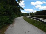
From the parking lot, we go on the road which from the main road branches off towards the northwest and by which there are signs for Tromejnik. At first, we are moderately descending on an asphalt road, and then the road flattens and brings us out of the forest. A little further, we get to the settlement Trdkova, where we start gently ascending, and during the ascent, we go past few houses and belfry in Trdkova.
From the crossroad after the belfry we go slightly right, and then follows a shorter easy descent. The path ahead again starts ascending, and at the bench it splits.
To the left few steps long path to Eucharistic cross branches off, and we continue straight towards the tripoint. At first, we still walk on an asphalt road, and after the last houses, the road changes into a bad macadam road. The path ahead leads us past the hunting observatory and passes into the forest, where it changes into a cart track. Through the forest, we follow the blazes, and the path starts descending diagonally. Lower, the path flattens and a little ahead joins a macadam road, where we join the better visited path.
We continue right and in few minutes we ascend to Tromejnik, which is situated at tripoint between Slovenia, Austria and Hungary.
Description and pictures refer to a condition in August 2021.
Pictures:
 1
1 2
2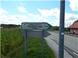 3
3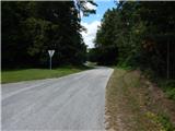 4
4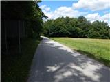 5
5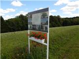 6
6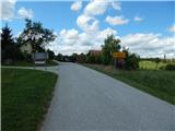 7
7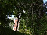 8
8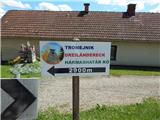 9
9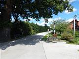 10
10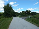 11
11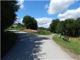 12
12 13
13 14
14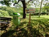 15
15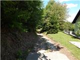 16
16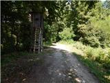 17
17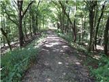 18
18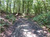 19
19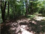 20
20 21
21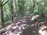 22
22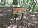 23
23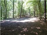 24
24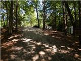 25
25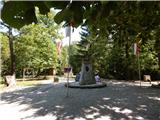 26
26