Matke - Mrzlica (via Počivalnik)
Starting point: Matke (397 m)
Starting point Lat/Lon: 46.20646°N 15.11711°E 
Path name: via Počivalnik
Time of walking: 2 h 30 min
Difficulty: easy marked way
Difficulty of skiing: easily
Altitude difference: 725 m
Altitude difference (by path): 725 m
Map: Posavsko hribovje - zahodni del 1:50.000
Access to starting point:
From highway Ljubljana - Celje we go to the exit Šempeter and follow the road ahead in the direction of Šempeter. In Šempeter we turn right in the direction of village Šešče pri Preboldu and then we drive towards the village Matke. When we come to Matke, we continue driving by the stream to a crossroad, where it says Matke left and right (house numbers left 56, right 55). Here we continue left (straight) and we follow the road to the parking lot by the road near the bee house.
Path description:
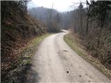
From the parking lot, we continue on the asphalt road, but only to a spot where the road crosses a smaller stream. Here we continue straight, on a cart track which is ascending by the stream full of tires. Cart track then crosses the stream and then it relatively steeply ascends to the house, where we step on the road. Next follows 10 minutes of walking to a crossing (here we notice the first signposts and blazes), where we continue right in the direction of Mrzlica. After additional few ten meters of walking, we get to the house where blazes point us to the left on a footpath. Further, we are ascending on a cart track which goes into the forest and past nicely settled chapel, comes out of the forest to a smaller hamlet. We continue the ascent on a marked cart track which in a moderate ascent, brings us to the next houses, at which we step on the road. The road, that is gently ascending on panoramic grassy slopes, a little higher brings us to the last house, where there is a crossing.
Behind the house, we continue right upwards in the direction of Mrzlica, on a cart track which turns left and it ascends diagonally on grassy slopes. We leave the pleasant cart track at the spot where the footpath branches off right upwards, which ascends steeply through the upper part of a meadow. The path then goes into the forest and joins the path Šmohor - Mrzlica. We continue right, at first on a cart track which soon changes into a steep footpath which we follow all the way to the mountain hut on Mrzlica. From the hut and to the top we have less than 5 minutes of ascent.
Pictures:
 1
1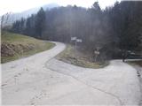 2
2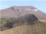 3
3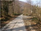 4
4 5
5 6
6 7
7 8
8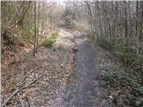 9
9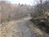 10
10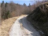 11
11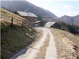 12
12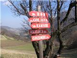 13
13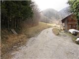 14
14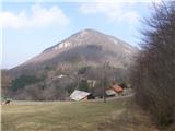 15
15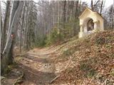 16
16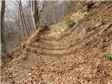 17
17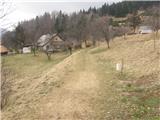 18
18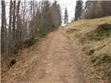 19
19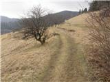 20
20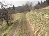 21
21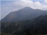 22
22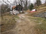 23
23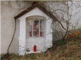 24
24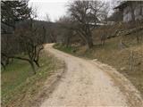 25
25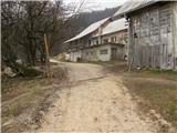 26
26 27
27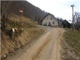 28
28 29
29 30
30 31
31 32
32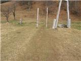 33
33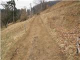 34
34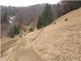 35
35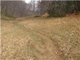 36
36 37
37 38
38 39
39 40
40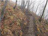 41
41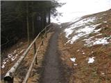 42
42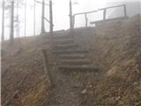 43
43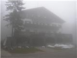 44
44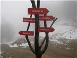 45
45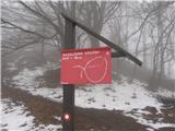 46
46 47
47