Starting point: Mlinarica (1089 m)
Starting point Lat/Lon: 46.40762°N 13.75471°E 
Time of walking: 3 h 40 min
Difficulty: difficult unmarked way
Difficulty of skiing: no data
Altitude difference: 1012 m
Altitude difference (by path): 1060 m
Map: TNP 1:50.000, Trenta 1:25.000
Access to starting point:
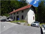
First, we drive to Kranjska Gora, and then we continue driving through the mountain pass Vršič towards Bovec. We continue driving to 38th hairpin turn of Ruska or Vršič road where we park by the old road house. In case if here isn't enough space, we can descend on the road for few hundred meters where by the road is another smaller parking lot.
Path description:
At the starting point, we go past the road house on a cart track. On the cart track, we walk approximately 100 meters and then a cairn point us right downwards on a footpath which leads towards Mlinarica. When we descend to a riverbed of the stream, we can admire numerous pools and smaller waterfalls. We then cross the stream over on the other side, also with the help from a trunk, which is stuck between the rocks. In the case of high water level at the crossing caution is needed.
On the other side of the stream, we continue to the right and then for some time we cross steep slopes, occasionally we also ascend steeper on a slope upwards. On this part we will also cross few shorter gullies. At some gullies the footpath was swept away, so that at the crossing a calm step is needed and quite some caution.
The path further still mostly crosses steep slopes through the forest from which only rarely a view opens up on surrounding peaks. Later, the path turns slightly to the left and is mostly ascending on steep slopes through the forest. On the path, there are also some fallen trees, and occasionally the footpath becomes also a little hard to follow.
Higher, the path slowly turns to the right and crosses steep slopes through the forest and dwarf pines. Such a path then brings us to the saddle between Debela peč and Goličica.
On the saddle, the path turns firmly to the left and starts ascending even steeper. Because the slopes are very steep we have to be careful, not to go astray from the footpath which is on some spots quite poorly visible. Forest is becoming thinner and beautiful views are starting to open up on surrounding peaks. Higher, we are ascending through dense dwarf pines and through few shorter grassy slopes. When a view towards the summit opens up, we continue left and then for some time still ascending by the dwarf pines. We also ascend steeper few times and then we soon reach the main ridge of the mountain. Only a short ascent on the ridge follows to the top from which breathtaking views open up on all sides.
Description and pictures refer to a condition in the year 2016 (August).
Pictures:
 1
1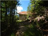 2
2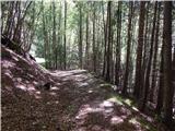 3
3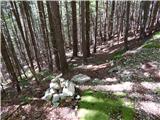 4
4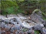 5
5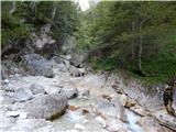 6
6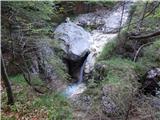 7
7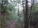 8
8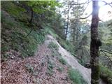 9
9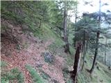 10
10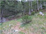 11
11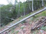 12
12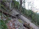 13
13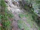 14
14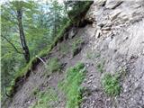 15
15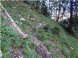 16
16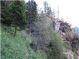 17
17 18
18 19
19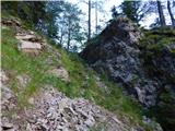 20
20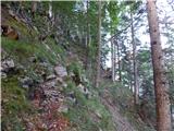 21
21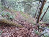 22
22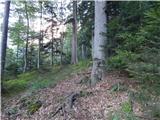 23
23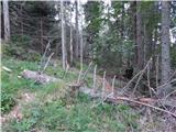 24
24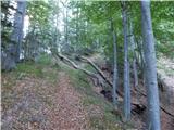 25
25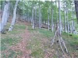 26
26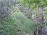 27
27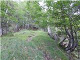 28
28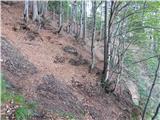 29
29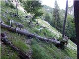 30
30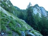 31
31 32
32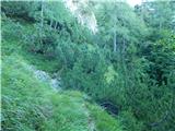 33
33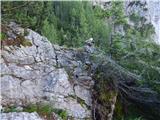 34
34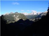 35
35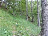 36
36 37
37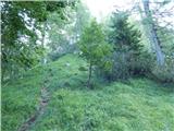 38
38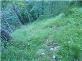 39
39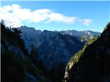 40
40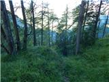 41
41 42
42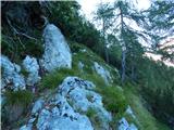 43
43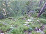 44
44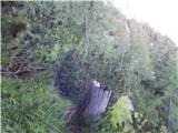 45
45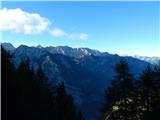 46
46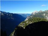 47
47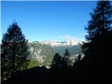 48
48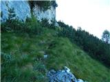 49
49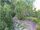 50
50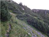 51
51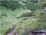 52
52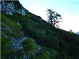 53
53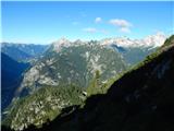 54
54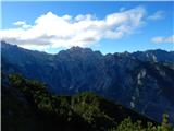 55
55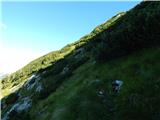 56
56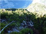 57
57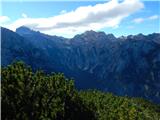 58
58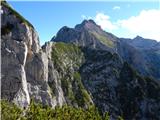 59
59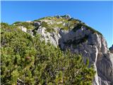 60
60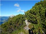 61
61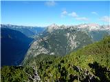 62
62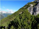 63
63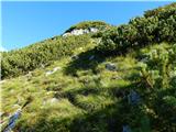 64
64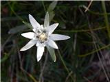 65
65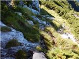 66
66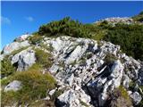 67
67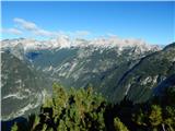 68
68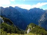 69
69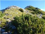 70
70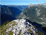 71
71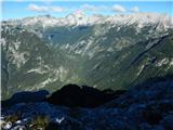 72
72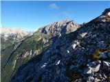 73
73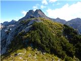 74
74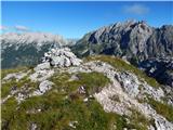 75
75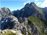 76
76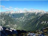 77
77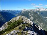 78
78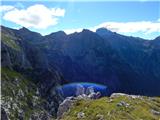 79
79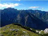 80
80 81
81