Mojstrana - Vrtaška planina
Starting point: Mojstrana (675 m)
Starting point Lat/Lon: 46.4552°N 13.9321°E 
Time of walking: 2 h
Difficulty: easy marked way
Difficulty of skiing: demanding
Altitude difference: 787 m
Altitude difference (by path): 787 m
Map: Kranjska Gora 1:30.000
Access to starting point:
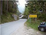
We leave Gorenjska highway at exit Hrušica and follow the road ahead in the direction of Kranjska Gora. Just a little before the village Dovje the road which goes to Mojstrana (Vrata, Kot and Krma) branches off to the left. We follow the road ahead in the direction of valley Vrata and we drive there only a short time because we will soon by the road notice mountain signposts for mountain pasture Vrtaška planina. We park on a parking lot by the road which is situated few meters ahead.
Path description:
From the parking lot, we descend on the road few meters downwards, where a signpost points us on a wide footpath. The path is at first moderately ascending and in few minutes brings us to a crossing, where we continue straight (right leads the path on a vantage point Grančišče).
The path soon after that crosses shorter muddy part of the path, and then turns left and then is steeper and steeper ascending. The path ahead is steep and runs through the forest. After an hour and a half of walking, the steepness decreases and the path passes on avalanche slopes. Next follows crossing of wide and with a fence secured carved ledge (fence is intended for safety of livestock), from which a nice view opens up on surrounding peaks. The path then for some time returns into the forest and again steeply ascends. A little higher, the steepness decreases, we cross a grazing fence and in few additional minutes of walking, we step on the mountain pasture Vrtaška planina, where on the right side we notice a shepherd hut, which has emergency bivouac in the attic of the cottage.
Pictures:
 1
1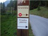 2
2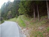 3
3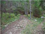 4
4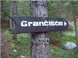 5
5 6
6 7
7 8
8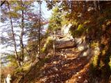 9
9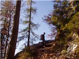 10
10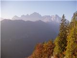 11
11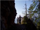 12
12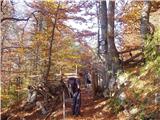 13
13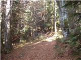 14
14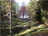 15
15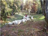 16
16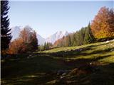 17
17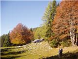 18
18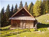 19
19