Moravče - Limbarska gora (via Gabrje)
Starting point: Moravče (379 m)
Starting point Lat/Lon: 46.1357°N 14.7446°E 
Path name: via Gabrje
Time of walking: 1 h 35 min
Difficulty: easy marked way
Difficulty of skiing: easily
Altitude difference: 394 m
Altitude difference (by path): 415 m
Map: Ljubljana - okolica 1:50.000
Access to starting point:
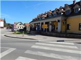
A) From highway Ljubljana - Maribor we go to the exit Krtina, and then we continue driving in the direction of Moravče. In Moravče we continue left in the direction of Limbarska gora and Sveti Mohor, and then we park on an appropriate place near the crossroad. Larger parking lot is located on the other side of the crossroad near the parish church.
B) From the direction Zasavje at first we drive in Izlake, and from there we continue driving towards Moravče. In Moravče at the crossroad near the church we continue right in the direction of Limbarska gora and Sveti Mohor. We park on an appropriate place near the crossroad. Larger parking lot is located on the other side of the crossroad near the parish church.
Path description:
From the crossroad near the church we continue on the asphalt road or a sidewalk in the direction of Limbarska gora and Sveti Mohor. We soon get to a marked crossroad, where the marked path on Limbarska gora splits into two parts.
On the left road continues the path on Limbarska gora through the village Serjuče, and we continue slightly right in the direction of Limbarska gora through Gabrje. For some time we still walk on a sidewalk, and after the fire station PGD Moravče the sidewalk also ends soon. A little further there is also the end of Moravče, and the road further leads us through panoramic meadows, from which a view opens up, which reaches all the way to the highest peaks of Kamnik Savinja Alps. At first still gentle road soon starts ascending and for some time passes into the forest. After the settlement Zalog also the road towards Straža branches off to the right, and then below the power line the forest ends, and the road brings us into settlement Gabrje pod Limbarsko goro. Here the path at first leads past a religious symbol (cross) and a stonemasonry to a right turn, by which there is a chapel. At the mentioned turn we leave the main road and we continue left on the road with speed bumps, and we walk there to the next chapel.
At this chapel we go at first for few steps to the left and then we already notice a red mountain signpost, which points us to the right into the forest. Through the forest, we are ascending for few minutes, and then we already get to an asphalt road which we follow to the right, and we walk there to the left turn. At the mentioned turn the marked path continues in the direction of straight, at first by the nearby fence. The path which at first is a little overgrown soon turns left and starts ascending through the forest. Higher, we step on a cart track which for a short time still continues through the forest and then it starts ascending diagonally through a larger meadow. When the crossing ends, we get to a smaller hamlet (hamlet Globočica), where we continue left on a wide cart track or a bad road. The road higher turns right and a little further flattens at the next hamlet. Next follows an easy walk past few houses, and then we continue on a little steeper cart track which higher changes into asphalt road, and it joins the main asphalt road which leads towards the top of Limbarska gora.
On the mentioned road, we ascend past few more houses, and then with increasingly beautiful views we quickly ascend to the church of St. Valentin and inn on Limbarska gora.
On the way: Gabrje pod Limbarsko goro (430m)
Pictures:
 1
1 2
2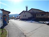 3
3 4
4 5
5 6
6 7
7 8
8 9
9 10
10 11
11 12
12 13
13 14
14 15
15 16
16 17
17 18
18 19
19 20
20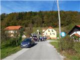 21
21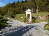 22
22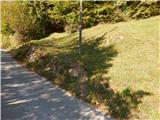 23
23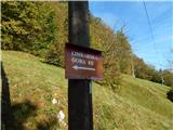 24
24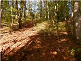 25
25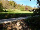 26
26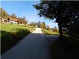 27
27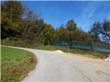 28
28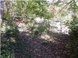 29
29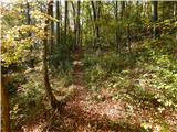 30
30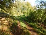 31
31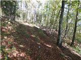 32
32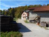 33
33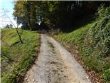 34
34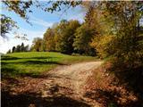 35
35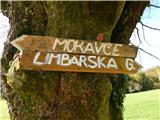 36
36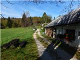 37
37 38
38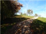 39
39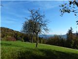 40
40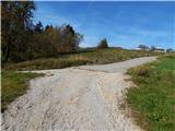 41
41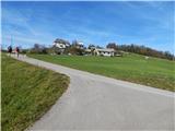 42
42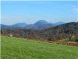 43
43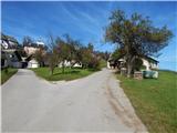 44
44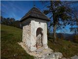 45
45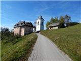 46
46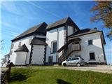 47
47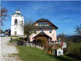 48
48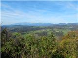 49
49