Možjanca - Skutman (via Zapečnikova planina)
Starting point: Možjanca (689 m)
Starting point Lat/Lon: 46.2945°N 14.4507°E 
Path name: via Zapečnikova planina
Time of walking: 1 h 25 min
Difficulty: easy unmarked way
Difficulty of skiing: no data
Altitude difference: 222 m
Altitude difference (by path): 260 m
Map: Karavanke - osrednji del 1:50.000
Access to starting point:
A) From Cerklje na Gorenjskem, Šenčur or Kranj we drive towards Preddvor. When we reach the main road Kranj - Jezersko we follow it towards Jezersko, then before the settlement Tupaliče we turn right in the direction of Možjanca. In Tupaliče we again turn right, and then on an ascending road we drive to the settlement Možjanca, where near the church of St. Nikolaj or a little above it at the recycling spot we park at a suitable place.
B) From Zgornje Jezersko we drive on the main road towards Kranj. When we get to the intersection where the road towards Preddvor branches off to the right, we continue straight, then at the first intersection left. After a short ascent the road flattens, and then at the marked intersection we continue left in the direction of Možjanca. An ascent follows to the settlement Možjanca, where near the church of St. Nikolaj or a little above it at the recycling spot we park at a suitable place.
Path description:
From the church of St. Nikolaj on Možjanca in a few dozen steps we ascend to the intersection at the recycling spot, from there we continue right in the direction of Kopa, Davovec and Krvavec (left viewpoint). Further on we walk on the macadam road, from which we soon go slightly right onto the lower cart track, which is also directed by the sign for the bridle path. The cart track which further crosses slopes to the right quickly splits, and we choose the upper cart track, by which there is the next sign for the bridle path. A little further the lower path rejoins our path, the cart track then for some time crosses slopes to the right, at junctions we follow the main path or the one that looks best trodden. After approximately 45 minutes of walking from the recycling spot we arrive at the next marked junction, where we continue left in the direction of Kopa (slightly right the bridle path continues).
The path continues through more plateau-like terrain, at unmarked junctions we still follow the better trodden path. When we reach a wider cart track, it brings us to an indistinct saddle, where there is the next junction.
From the junction we continue straight in the direction of Zapečnikova planina and Skutman (right Kopa, possible also to Skutman) and on the cart track we begin moderately descending. During the descent a path branches off to the left to the chapel, we continue on the cart track which gradually flattens and brings us into a smaller valley, where it starts ascending again. Some gentle ascent follows, then over an indistinct ridge we pass to the northern slopes, across which we descend obliquely. After crossing a small spring the path turns left and brings us out of the forest onto Zapečnikova planina, where on the left there is a hunting observatory, from the central part of the pasture a beautiful view opens up.
We continue to the other side of the pasture, where we reach a wide cart track, we continue left downhill. After a short descent the cart track turns left downhill, we go slightly right onto a trodden path which quickly ascends to the ridge. When we reach the ridge a beautiful view opens up in the direction towards Kočna and Grintovec, the path gradually transitions into the forest through which it continues all the way to the peak a few minutes away.
Možjanca - Zapečnikova planina 1:15, Zapečnikova planina - Skutman 0:10.
Description refers to the condition in September 2019, and the pictures are from various periods.
On the way: Zapečnikova planina (840m)
Pictures:
 1
1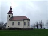 2
2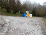 3
3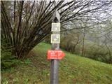 4
4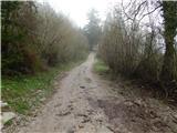 5
5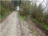 6
6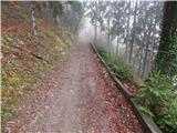 7
7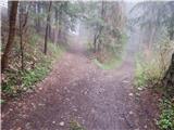 8
8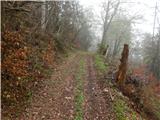 9
9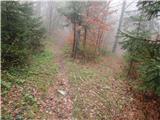 10
10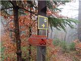 11
11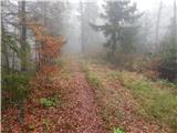 12
12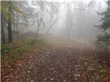 13
13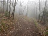 14
14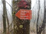 15
15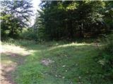 16
16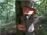 17
17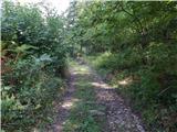 18
18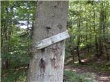 19
19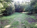 20
20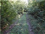 21
21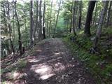 22
22 23
23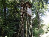 24
24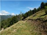 25
25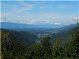 26
26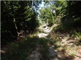 27
27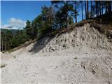 28
28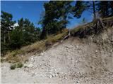 29
29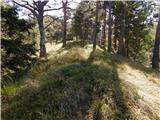 30
30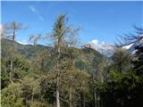 31
31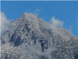 32
32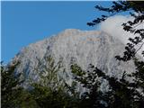 33
33 34
34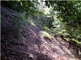 35
35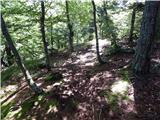 36
36 37
37