Starting point: Na Razpotju (770 m)
Starting point Lat/Lon: 46.392°N 14.6273°E 
Time of walking: 9 h
Difficulty: very difficult pathless terrain
Difficulty of skiing: no data
Altitude difference: 1313 m
Altitude difference (by path): 1313 m
Map: Grintovci 1:25.000
Access to starting point:
We drive to Luče (to here from Mozirje or over Kranjski rak) and forward towards Logarska dolina. Soon after the village Solčava we come to the crossroad, where a road to valley Logarska dolina branches off to the left. We turn left towards the valley Logarska dolina (toll payment) and drive on the road to signs for mountain hut on Klemenča jama. We park on a parking lot near the boarding house Na Razpotju. In front of the boarding house only guests are allowed to park.
Path description:
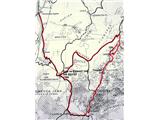
From the parking lot, we go on the forest road in the direction of Klemenča jama. After few minutes of walking wide path branches off to the left towards Klemenča jama. We go on this path which starts ascending. A pretty steep path soon brings us on steep slopes, where with the help of steel cables we cross slightly exposed gully. The path which is still ascending soon brings us to the spot, where a mountain wall interrupts the path. In front of us, we notice nicely made tunnel, where we get help from a steel cable. On the other side on the wide path we in a gentle ascent cross exposed ledge. The path ahead goes into the forest and is still ascending on steep slopes, which are in wet dangerous for slipping. Ahead over a small bridge we cross one more gully, and then the path brings us on a less steep part of the path, where joins the path from the mountain hut Dom Planincev. We continue slightly upwards on a wide path, which soon brings us out of the forest. Next follows only a shorter ascent on a grassy slope to the mountain hut Koča na Klemenči jami.
From the mountain hut, we continue straight in the direction of Ojstrica on the path which after few ten meters goes into the forest. The path which is moderately to steeply ascending through the forest higher brings us below the rocky cliff, which are not too crumbly. The path then avoids cliffs to the right and it brings us to a crossing, where we continue left in the direction of Ojstrica on the path Kopinškova pot (Kopinšek route) (right Škarje). Ahead we pass out of the forest on panoramic with dwarf pines and individual larches vegetated slopes, from which a nice view opens up towards the northern wall of Ojstrica. Further, we need to pay attention because soon to the left, from the marked path on Ojstrica unmarked hunting path on Krofička branches off. When we notice a cairn (approximately 10 minutes before path Kopinškova pot passes on the other side of the ridge) we go left on a poorly visible footpath which over partly rocky and partly grassy slope surrounded by dwarf pines and individual trees brings us below the foot of northwestern cliffs of Krofička. Further, we ascend through a wide crumbly gravel gully, from which soon by the memorial plaque to the right opens secured and exposed passage. Next follows a short very steep ascent, which we overcome with the help of steel cables and the path brings us on at first a narrow and exposed ridge. Ridge, which is slightly vegetated with dwarf pines then quickly widens and with the help of some fixed safety gear brings us to the chimney. With the help of steel cables we ascend on almost vertical and exposed chimney, which is high approximately 10 meters. The steepness then decreases and the path brings us on sunny meadows (slope is called Zadnji travnik), where the path gradually vanishes. We continue the ascent diagonally in the direction of north to northeast on a gradually increasingly steep slope. We are looking for passages diagonally upwards, where we follow deer paths or traces of our predecessors. If terrain becomes harder passable, we go more towards the right. To the summit we come through the gully right - so southeast - from the main peak, to where there is only few meters.
Descent we start at first few meters on the same path, where we came up. Demanding descent runs on the top of the ridge, we then stick to the right slopes and on a steep terrain by the ridge we are looking for passages between grass and dwarf pines to the next notch below the upper part of Krofička. Here the ridge flattens and it is heavily vegetated with dwarf pines. On the left slope of the ridge we can look for passages among dwarf pines, which we can't entirely avoid or we descend few ten meters lower so that we avoid the dwarf pines. Like that we come to the next peak in the ridge, Travnik, 2029 meters.
Further, we are descending on the top of the ridge and we are looking for passages on rugged crumbly slope and among dwarf pines. (Over the slopes left few ten meters lower below the ridge supposedly footpath runs also into dwarf pines, which was most likely made by hunters. ) Over a little steeper terrain we get to a small saddle. To continue we descend through a grassy gully to the right, Roban's side. When terrain opens, we stick to the left and we cross a grassy slope below the last wall of the ridge of Travnik, which we bypass until we return back on a saddle of the main ridge, 1929 meters. It is wide and grassy. If we go few ten meters straight, we get to a nice viewpoint towards the valley Logarska dolina.
Ridge of Ute is very difficult, because it is becoming narrower and very exposed on both side, there aren't any fixed safety gear. Dwarf pines vanishes and at climbing we have to rely on only on solid step on bare rock, therefore only very well skilled should climb it. On the same path we return back on the saddle.
On the saddle without any special problems we descend on transient slope on Roban's side. Terrain gradually turns left into interesting cirque below the overhang wall of Ute, where there used to live Roban shepherd. Now (September 2009) they are renovating his modest cottage. Cirque is incredibly scenic, one the most interesting corners of Savinja Alps. From the cottage slightly upwards a well visible path runs towards the steep, with larches vegetated slopes. Then we are descending and we cross steep slopes above Robanov kot. The most demanding is crossing above the narrow notch, where the path is now secured with a rope. Follows an ascent on groove, where up on the notch already a view opens up on Strelovec. Problems is here end, well-beaten footpath brings us on Movznik, where we soon join the marked path. Here we turn left, we cross slopes of Ute to Puklovec and we descend on Klemenča jama and into a valley Logarska dolina.
Pictures:
 1
1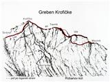 2
2 3
3 4
4 5
5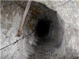 6
6 7
7 8
8 9
9 10
10 11
11 12
12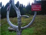 13
13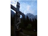 14
14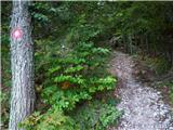 15
15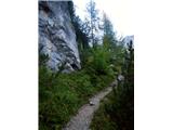 16
16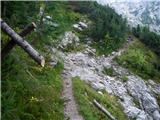 17
17 18
18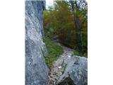 19
19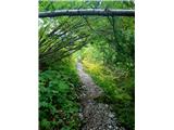 20
20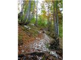 21
21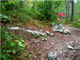 22
22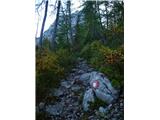 23
23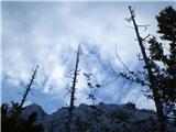 24
24 25
25 26
26 27
27 28
28 29
29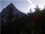 30
30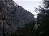 31
31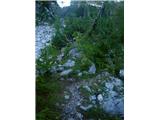 32
32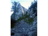 33
33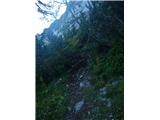 34
34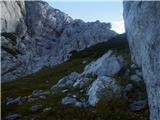 35
35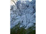 36
36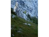 37
37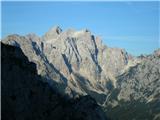 38
38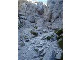 39
39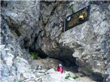 40
40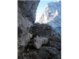 41
41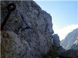 42
42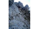 43
43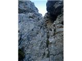 44
44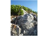 45
45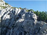 46
46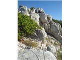 47
47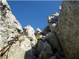 48
48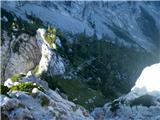 49
49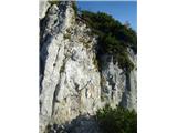 50
50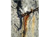 51
51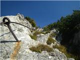 52
52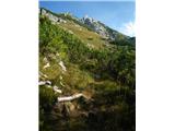 53
53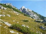 54
54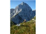 55
55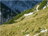 56
56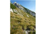 57
57 58
58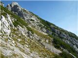 59
59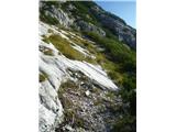 60
60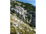 61
61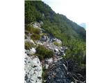 62
62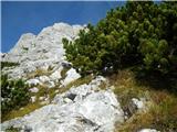 63
63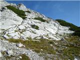 64
64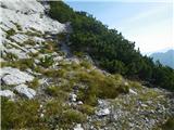 65
65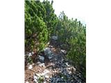 66
66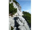 67
67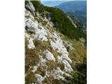 68
68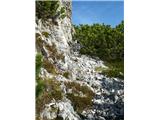 69
69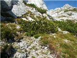 70
70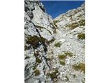 71
71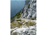 72
72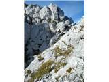 73
73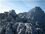 74
74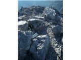 75
75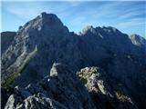 76
76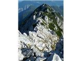 77
77 78
78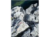 79
79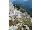 80
80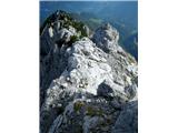 81
81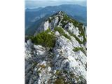 82
82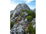 83
83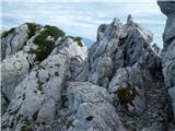 84
84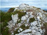 85
85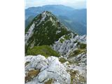 86
86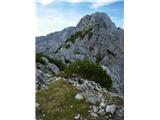 87
87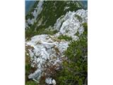 88
88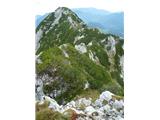 89
89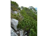 90
90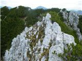 91
91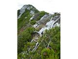 92
92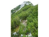 93
93 94
94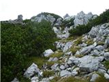 95
95 96
96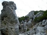 97
97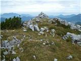 98
98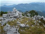 99
99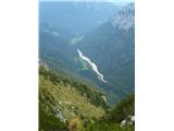 100
100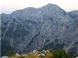 101
101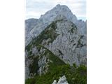 102
102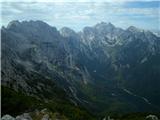 103
103 104
104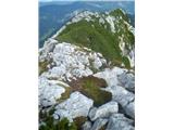 105
105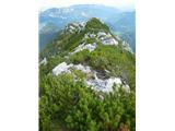 106
106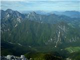 107
107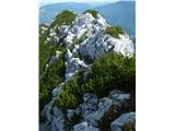 108
108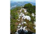 109
109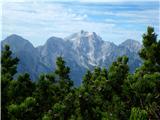 110
110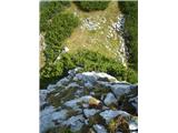 111
111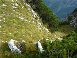 112
112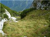 113
113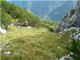 114
114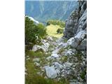 115
115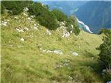 116
116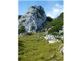 117
117 118
118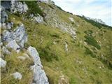 119
119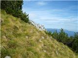 120
120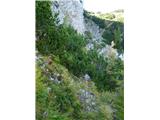 121
121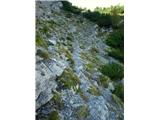 122
122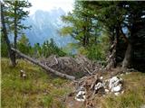 123
123 124
124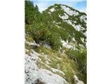 125
125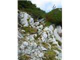 126
126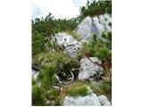 127
127 128
128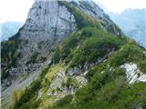 129
129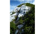 130
130 131
131 132
132 133
133 134
134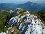 135
135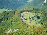 136
136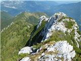 137
137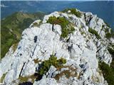 138
138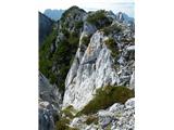 139
139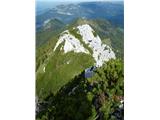 140
140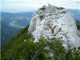 141
141 142
142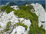 143
143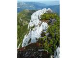 144
144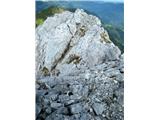 145
145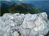 146
146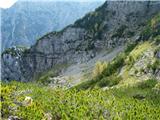 147
147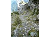 148
148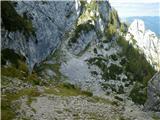 149
149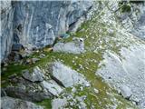 150
150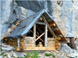 151
151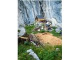 152
152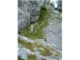 153
153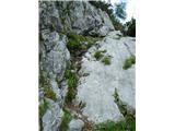 154
154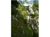 155
155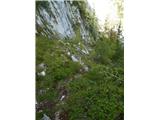 156
156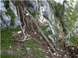 157
157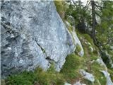 158
158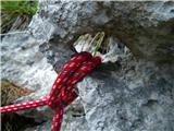 159
159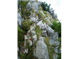 160
160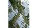 161
161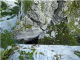 162
162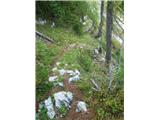 163
163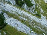 164
164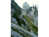 165
165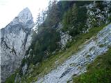 166
166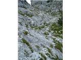 167
167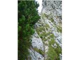 168
168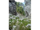 169
169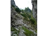 170
170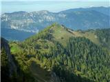 171
171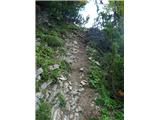 172
172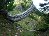 173
173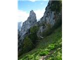 174
174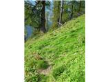 175
175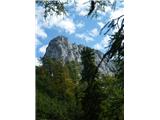 176
176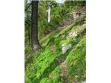 177
177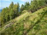 178
178 179
179 180
180 181
181 182
182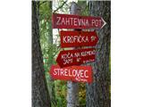 183
183 184
184 185
185 186
186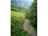 187
187 188
188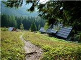 189
189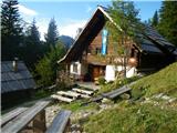 190
190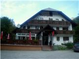 191
191