Nassfeld - Bivouac E. Lomasti
Starting point: Nassfeld (1540 m)
Starting point Lat/Lon: 46.5609°N 13.2758°E 
Time of walking: 3 h
Difficulty: easy marked way
Difficulty of skiing: easily
Altitude difference: 360 m
Altitude difference (by path): 440 m
Map: Tabacco 18
Access to starting point:
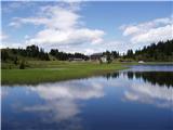
Over a border crossing in Rateče we drive through Trbiž / Tarvisio, Ukve / Ugovizzo to the settlement Tablja / Pontebba, where we turn right following the signs »Passo di Pramollo / Nassfeld« (Slovenian Mokrine). On the mountain pass, we drive past the lake on the Austrian side, where we park on a large parking lot.
Path description:
From the parking lot on the mountain pass Mokrine / Nassfeld we go on a macadam road following the signs Rosskofel and Trogkofel. After few hundred metrers, we leave the road and blazes lead left on a footpath which runs through meadows and past the artificial lake intended for snowmaking. After that, the path runs through a thin forest and several times crosses a ski slope and numerous smaller streams. We soon come to a crossroad, where signs point us to the left on the path which runs by the ski slope, a little steeper ascends and in 15 minutes brings us to the road at the cottage on Tressdorfer hohe. At the crossroad, which is approximately a hundred meters from the cottage and from where there is a nice view towards Veliki Koritnik / Creta di Aip / Trogkofel, we go on the right road which is descending a little. At the right turn, we leave the road and again go on a footpath. The path through a thin forest is still descending and over numerous streams we come to a crossroad, where we go left following the signs Rudnig sattel / Sella di Aip. The path is then ascending below the slopes of Veliki Koritnik and in good half an hour it brings us to a saddle Rudnig sattel / Sella di Aip from where we have to bivouac only few meters of descent on the Italian side.
On the way: Rudnig sattel / Sella di Aip) (1942m)
Pictures:
 1
1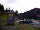 2
2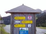 3
3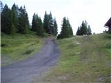 4
4 5
5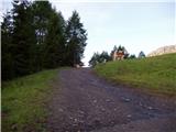 6
6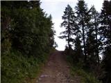 7
7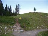 8
8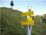 9
9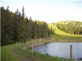 10
10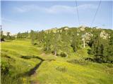 11
11 12
12 13
13 14
14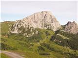 15
15 16
16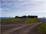 17
17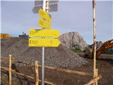 18
18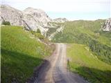 19
19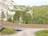 20
20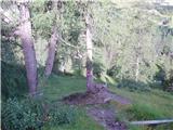 21
21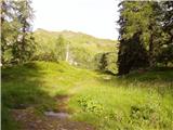 22
22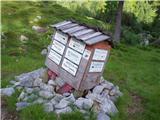 23
23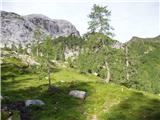 24
24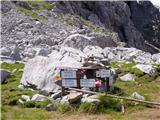 25
25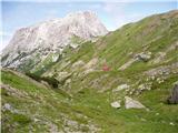 26
26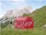 27
27