Neues Lucknerhaus - Großglockner
Starting point: Neues Lucknerhaus (1918 m)
Starting point Lat/Lon: 47.0229°N 12.6897°E 
Time of walking: 9 h
Difficulty: extremely difficult marked way
Difficulty of skiing: no data
Altitude difference: 1880 m
Altitude difference (by path): 1880 m
Map: Skupina Glockneru 1:50 000
Access to starting point:
Through the Karawanks Tunnel, we drive past Spittal towards Lienz. At the end of Lienz we turn right towards Kals and Matrei. After approximately 20 km in the settlement Huben, a little before Matrei, we again turn right towards Kals. To Kals is then 13 more kilometers. From Kals to the parking lot at Lucknerhaus (1920m) we drive on Panorama road Kalser Grossglocknerstrasse (toll payment) and we park there.
Path description:
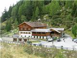
We park on one of the two large macadam parking lots at the mountain hut Neues Lucknerhaus on 1918 meters by a torrent stream Kodnitzbach. The beginning of the path for a short time runs on the right side of the torrent, whereupon we cross it over a footbridge and on the other side in a gentle ascent, we continue on the road all the way to the mountain hut Lucknerhütte (2241 meters). Further, the footpath is relatively steeply ascending towards the mountain hut Studl-Hütte (2802 meters).
At the mountain hut there is a crossing. The right path goes towards the mountain hut Erzherzog-Johann-Hütte (3454 meters), and we just go straight upwards on a glacier Teischnitz-Kees and there by a gentle rocky ridge Luisegrat all the way to the entrance into Studlgrat (3200 meters). On the glacier, we need to pay attention to numerous cracks. In front of the entry on the ridge, we appropriately prepare ourselves because the ascent on Studlgrat belongs among climbing ascents with a grade UIAA III-IV, mostly II. Therefore at the entrance on the ridge, we must be aware, that for such ascent we need quite some experiences and knowledge about belaying, climbing in high-mountains, making climbing anchors, belaying in a roped party, orientation, fitness, problems with an altitude, planning the tour,... If we don't have this we can go on such tour only with a mountain guide or an experienced alpinist. The beginning of the climbing on the ridge is quite easy. During the climbing, we come on the so-called Frustuckplatz - breakfast place (3550 meters) and also to a warning sign on which there is written, that if we needed to here more than 3h, we should return back. Because the most difficult part is still above us. Also, the ridge is almost never entirely without snow. The most appropriate time for the ascent is from May to September. Rock itself is very good for climbing. Above the breakfast place, there are some large smooth plates and short vertical ascents over which we have safety equipment for help (pitons with a ring and without it, ropes with knots, steel cables). Also looking for passages is on some spots orientationally quite demanding. When the most difficult and the most exposed part Kanzel (pulpit) is behind us to the top there aren't any bigger problems.
From the top, we can descend on a much easier path over KleineGrossglockner, past the mountain hut Erzherzog-Johann-Hütte (3454 meters) and over the glacier Koednitz-Kees further into a valley on one of numerous paths, which we see below the glacier. Or we can also go right past the mountain hut Studl-Hütte past which we went at the ascent. For this ascent in the most of the descriptions the time for the ascent is from 8-10h and for the descent 4-6h. Because of a big altitude difference, it is good to do the tour in two days. First day to the hut Studl-Hütte (2802 meters), second day on the peak and descent into a valley. The mountain hut is open from May to September, depending on snow conditions.
On the way: Lucknerhütte (2241m), Studl-Hütte (2802m)
Pictures:
 1
1 2
2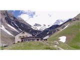 3
3 4
4 5
5 6
6 7
7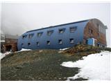 8
8 9
9 10
10 11
11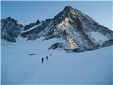 12
12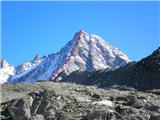 13
13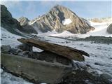 14
14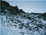 15
15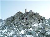 16
16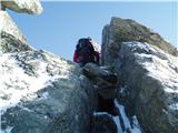 17
17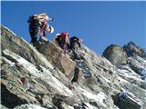 18
18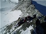 19
19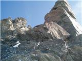 20
20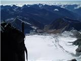 21
21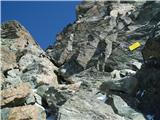 22
22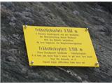 23
23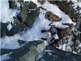 24
24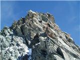 25
25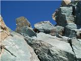 26
26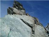 27
27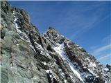 28
28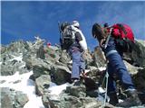 29
29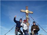 30
30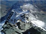 31
31 32
32 33
33 34
34