Starting point: Osp (57 m)
Starting point Lat/Lon: 45.5639°N 13.8619°E 
Time of walking: 1 h 25 min
Difficulty: easy marked way
Difficulty of skiing: no data
Altitude difference: 366 m
Altitude difference (by path): 385 m
Map: Primorje in Kras 1:50.000
Access to starting point:
Highway Ljubljana - Koper we leave at exit Črni Kal, and then we short time drive towards Črni Kal, by columns of viaduct Črni Kal we go left in the direction of the settlement Osp. The road then leads us through the settlement Gabrovica pri Črnem Kalu, after the mentioned settlement after approximately 1 km we get to the village Osp, where in the middle of the settlement there is the beginning of the described path. Suitable place for parking is about 500 meters before the settlement.
Path description:
From the spot, where we've parked, we walk to the center of the village, where by NOB monument we notice the first blazes.
We continue right (left downwards Tinjan and tourist farm and camp Kamp pri Vovku) and we start ascending among houses, and at the crossroads, we follow the blazes. From the marked path soon the path towards the climbing area branches off to the right, and we continue to the near parish church of St. Peter, which we bypass on the right side.
Village here ends, and the road changes into a cart track, on which we quickly get to a marked crossing.
From the crossing, we continue right towards Kastelec (straight Socerb), and the path further is mostly ascending diagonally towards the right. Higher a beautiful view opens up towards Tinjan and wall Osapska stena, and then the path turns left and passes on a plateau. At first beautiful views are still opening up, which reaches all the way to Bay of Milje (Muggia) and surrounding villages, and then the path passes on plain terrain of Spodnji kras, where at the back we already see settlement Kastelec. The path ahead leads us also through pastures, and when we reach the macadam road at the crossings we follow the blazes.
A little further, on the periphery of the settlement Kastelec we reach an asphalt road which we follow to the left, after few steps we leave it and we continue right on a marked path, on which we quickly get to the church of the Holy Cross in Kastelec. Church we bypass on the right side, and after nearby children's playground road becomes a macadam. When the road splits we continue slightly right, and at the next crossing at Kal, slightly left. We continue the ascent on a quite bad road which when flattens, brings us to a wider macadam road, where there is also a marked crossing.
From the crossing, we go right in the direction towards the castle Črnokalski grad (left Socerb), and a little further we leave the road and we continue slightly right on a marked footpath. From the gentle path little ahead a nice view opens up, and the path widens into a cart track, on which we reach the asphalt parking lot by old road Ljubljana - Koper.
On southwest edge of the parking lot, we look for an overgrown footpath, on which we at first lightly descend, after that, when footpath becomes more distinct we quickly get to a smaller crossing. We continue slightly left (right path bypasses the peak) and in few 10 strides we ascend on a relatively panoramic peak Varda.
On the way: Kastelec (330m)
Pictures:
 1
1 2
2 3
3 4
4 5
5 6
6 7
7 8
8 9
9 10
10 11
11 12
12 13
13 14
14 15
15 16
16 17
17 18
18 19
19 20
20 21
21 22
22 23
23 24
24 25
25 26
26 27
27 28
28 29
29 30
30 31
31 32
32 33
33 34
34 35
35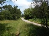 36
36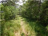 37
37 38
38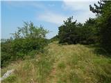 39
39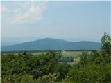 40
40 41
41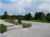 42
42 43
43 44
44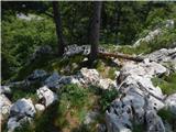 45
45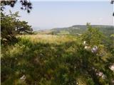 46
46 47
47