Ossario del Pordoi - Pizes dl Valun (path 672)
Starting point: Ossario del Pordoi (2200 m)
Starting point Lat/Lon: 46.49125°N 11.82799°E 
Path name: path 672
Time of walking: 4 h 5 min
Difficulty: difficult pathless terrain
Ferrata: A/B
Difficulty of skiing: no data
Altitude difference: 706 m
Altitude difference (by path): 810 m
Map: Tabacco 07 1:25.000
Access to starting point:
Access from Gorenjska: From Rateče or Predel we cross the border to Trbiž / Tarvisio and then we continue on a highway in the direction of Videm / Udine to exit Tolmezzo. From Tolmezzo we follow the road in the direction of village Ampezzo and mountain pass Passo Mauria. The road then descends and it brings us to a crossroad, where we continue left (possible also right) in the direction of Cortina d'Ampezzo. At all next crossroads, we follow the signs for Cortina d'Ampezzo.
In Cortina d'Ampezzo then we follow the signs for Alpine mountain pass Passo di Falzarego. This ascending road we then follow to the mentioned mountain pass. On the mountain pass, we come to a crossroad, where we continue on the left road in the direction of Marmolada and settlement Arabba (right Alta Badia). The road ahead is for quite some time descending, and then it brings us to a crossroad, where we continue right in the direction of the mountain pass Passo Pordoi (left Marmolada). We follow a relatively wide and ascending road all the way to the mentioned mountain pass. On the mountain pass, we then turn right on a narrow asphalt road towards the ossuary of German soldiers (Cimitero Militare Germanico). We park on a parking lot at the end of the mentioned road.
From Primorska: We drive on the highway towards Venice / Benetke / Venezia. At town Portogruaro we leave the highway towards Venice and continue right on the highway towards Pordenone. At the next highway junction near Conegliano, we continue right towards Belluno. Near Belluno the highway ends and at the next crossroads we continue in the direction of Cortina d'Ampezzo. Further, we follow the description above.
Path description:
From the parking lot, we continue on a well-settled path towards the ossuary where 8582 German soldiers are buried, who fell in the first world war and 849 soldiers, who fell in the second world war. At the ossuary, we then continue left where signposts for climbing path Via Ferrata Cesare Piazzetta point us to. The path then leads us on a panoramic grassy slope and it soon starts a little steeper ascending. For a short time then path crosses a steeper slope to the right, and then again starts ascending on a slope upwards. The path which is mostly marked with red arrows is then ascending until we get very close to mighty walls where we join the path 626.
Here we continue right and after a short crossing, the path brings us to a sign which marks the beginning of extremely demanding path Via Ferrata Cesare Piazzetta. We still continue on an easy path, which crosses slopes below vertical walls towards the east. After that, the path for quite some time crosses such slope and in doing so few times slightly ascends and descends. From the path soon also view opens up towards the mountain hut Ütia Franz Kostner and after a short descent, we come to a marked crossing.
The path 638 branches off to the left upwards, which through the gully Rissa di Pigolerz leads towards the summit Piz Boe. At the crossing, we continue on the path 626, which then crosses slopes below the steep mountain walls. By the path, we will then also notice some ruins from the time of the first world war, and the path leads us also past a smaller lake. After that, the path turns a little to the left and after a short descent brings us to another crossing.
To the right, there is only few minutes of walking to the mountain hut Ütia Franz Kostner. In case if we also visit mountain hut we then return to a crossing and we continue left on the path Lichtenfels (path 672). From the crossing, the path starts ascending on the scree and runs on the right side of the valley upwards. At the end of the valley, the path turns right into rocks and becomes demanding. The path which is well secured with a steel cable here runs on a steep rocky slope and few times ascends a little steeper. More experienced mountaineers will manage the ascent also without self belaying. The relatively short secured part then ends and the path becomes less demanding.
Further, the path then turns to the left and then for some time mostly in a gentle ascent crosses steep slopes on the eastern side of the peak Pizes dl Valun. After the crossing, the path brings us on less steep slopes where we come to a marked crossing.
At the crossing, we continue right on the path 672 (Lichtenfels), and straight leads the path which later joins the path 638. Our path is then ascending a little left from the wide and relatively gentle valley and runs towards the west. When we come on the southwest side of the peak Pizes dl Valun we will below the western slopes notice distinct saddle. Here we leave the marked path and go on pathless terrain towards the mentioned saddle. From the saddle is also clearly visible relatively easy passage, that runs on a slope above scree towards the ridge. On the saddle, we go right and we start ascending on pathless scree and then on the mentioned passage slightly to the right to the ridge. Ascent isn't too demanding but because of the gravel some caution is still needed. When we reach the ridge, we continue left and on a gentle slope we soon reach the peak on which there is a smaller cairn. From the top is otherwise a breathtaking view on a larger part of the mountain group Sella.
Pictures:
 1
1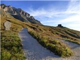 2
2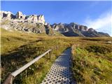 3
3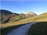 4
4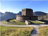 5
5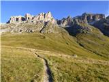 6
6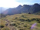 7
7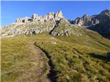 8
8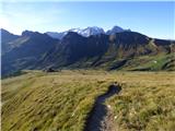 9
9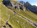 10
10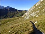 11
11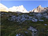 12
12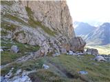 13
13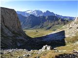 14
14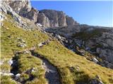 15
15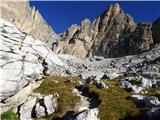 16
16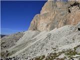 17
17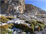 18
18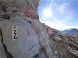 19
19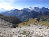 20
20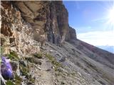 21
21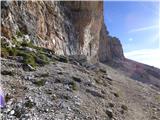 22
22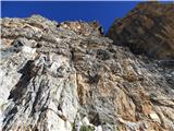 23
23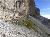 24
24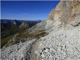 25
25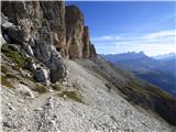 26
26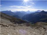 27
27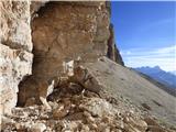 28
28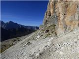 29
29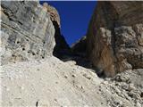 30
30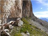 31
31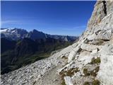 32
32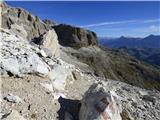 33
33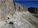 34
34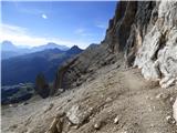 35
35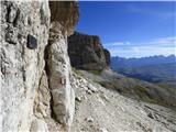 36
36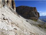 37
37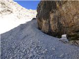 38
38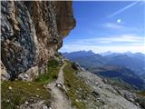 39
39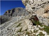 40
40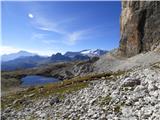 41
41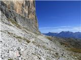 42
42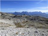 43
43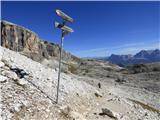 44
44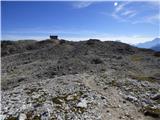 45
45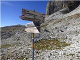 46
46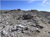 47
47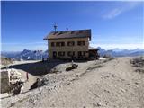 48
48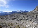 49
49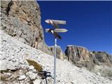 50
50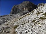 51
51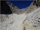 52
52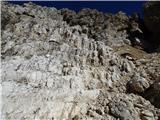 53
53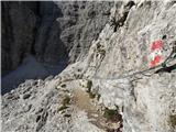 54
54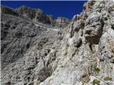 55
55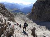 56
56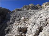 57
57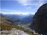 58
58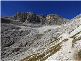 59
59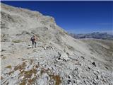 60
60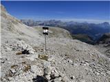 61
61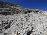 62
62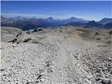 63
63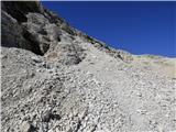 64
64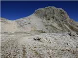 65
65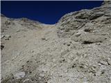 66
66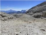 67
67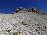 68
68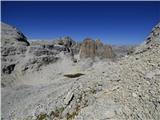 69
69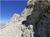 70
70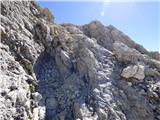 71
71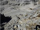 72
72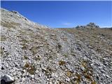 73
73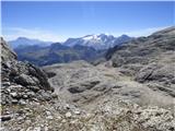 74
74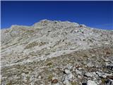 75
75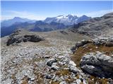 76
76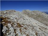 77
77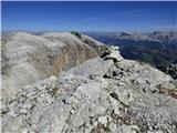 78
78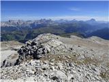 79
79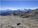 80
80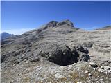 81
81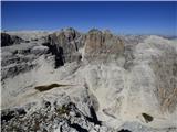 82
82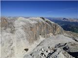 83
83