Otočec - Castle Stari grad above Otočec
Starting point: Otočec (194 m)
Starting point Lat/Lon: 45.8349°N 15.2238°E 
Time of walking: 30 min
Difficulty: easy marked way
Difficulty of skiing: no data
Altitude difference: 56 m
Altitude difference (by path): 65 m
Map: Dolenjska - Gorjanci in Kočevski Rog 1:50.000
Access to starting point:
A) From highway Ljubljana - Obrežje we go to the exit Novo mesto - east, and then we continue driving in the direction of Otočec. Further, we drive on the old road towards Brežice, and then we quickly get to a crossroad, where we continue right in the direction of the settlement Lešnica. After Lešnica we get to Otočec, and we drive to the other side of the settlement, where we park on a parking lot by the cemetery.
B) From highway Obrežje - Ljubljana we go to the exit Kronovo (exit number 28), and then we continue driving in the direction of the castle Otočec. Also from the nearby roundabout we continue to the exit castle Otočec. Further, we drive on the old road towards Novo mesto, and after Petrol gas station we turn right in an already known direction. Next follow two successive crossroads, where we go twice left, and after the underpass we go right in the direction of Otočec (left - castle Otočec). Next follows approximately 1 km of driving, and then we get to Otočec, where we park on a parking lot by the cemetery.
Path description:
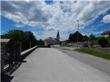
From the starting point, we continue past the church and we for some time continue by the road in the direction of Novo mesto. We soon get to the chapel, where a road branches off to the left towards Ratež and Gumberk, and then at the next few 10 steps distant crossroad we continue right past NOB monument. We continue through the underpass, and then on the other side of the underpass we continue left (right - Paha and Herinja vas). At the next crossroad, we continue right, and then we walk past the confectionery Slaščičarstvo Hočevar and past the primary school Otočec and along the fields we get to the end of Otočec and few steps further to an unmarked crossroad.
We continue straight, on the road which descends to the underpass below the highway (on the left road we can get to Trška Gora). On the other side of the underpass, the road turns right, and then in a gentle ascent, in few minutes brings us to the spot, where we leave the asphalt road. From the road, we continue left in the direction of Castle forest teaching trail (Grajska gozdna učna pot) and the path "S cvičkom med vinogradi". From the meadow, the path quickly passes into the forest, through which it starts moderately ascending. In few minutes of a moderate and in the upper part diagonal ascent, we get to a viewpoint and castle Stari grad, which is owned by Krka d.d.
Description and pictures refer to a condition in the year 2016 (June).
Pictures:
 1
1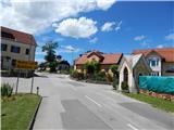 2
2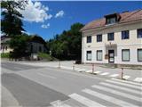 3
3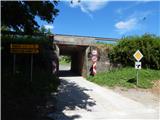 4
4 5
5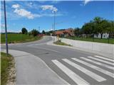 6
6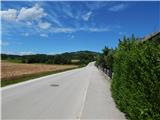 7
7 8
8 9
9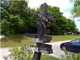 10
10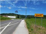 11
11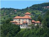 12
12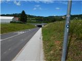 13
13 14
14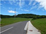 15
15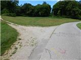 16
16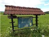 17
17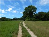 18
18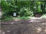 19
19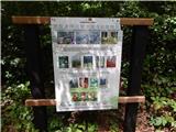 20
20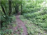 21
21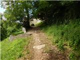 22
22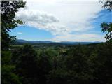 23
23 24
24 25
25