Otovci (football pitch) - Križarka
Starting point: Otovci (football pitch) (310 m)
Starting point Lat/Lon: 46.80975°N 16.16524°E 
Time of walking: 1 h 25 min
Difficulty: easy unmarked way
Difficulty of skiing: no data
Altitude difference: 103 m
Altitude difference (by path): 165 m
Map: Pomurje 1:40.000
Access to starting point:
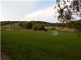
We drive to Murska Sobota, and then we continue driving towards Hodoš. A little after Mačkovci we turn left towards Otovci. Through Otovci we follow the main road, or we stick to the slightly right directions. Next follows a relatively short ascent and two longer turns, and then we from the crossroad behind the bus stop continue right towards the tourist farm Smodiš (left - Vidonci), where we turn left downwards, and then we go immediately right. Next follows a descent to a football field, where we park at an appropriate place.
Path description:
From the crossroad at the football field we continue on a cart track which from the road branches off towards the northeast. After few 10 strides the cart track passes into the forest and splits.
We continue on the right cart track, by which there are occasional local signs. The path ahead starts ascending, and higher we go slightly right, where we still follow occasional signs. Next follows few minutes of a quite gentle path, and when we reach a wider cart track we go sharply left. Next follows a walk on a forested cart track, on which we are mostly lightly ascending. Further follow few smaller crossroads, where we follow the wider path, by which the local signs are more frequent. Further, the cart track widens into a forest road which is mostly still lightly ascending. Eventually the road descends a little and it brings us to a wider macadam road which we follow to the left (right - Sveta Ana - 5 minutes and Stanjevci).
Further, we walk on a wider macadam road which continues with some shorter ascents and descents, and at the crossroads, we continue straight. Few 10 strides before we reach the asphalt road, on the right we notice a worse footpath which then parallel with the nearby asphalt road lightly ascends on an indistinct peak Križarka.
Description and pictures refer to a condition in September 2021 and May 2022.
Pictures:
 1
1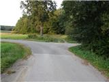 2
2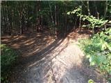 3
3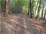 4
4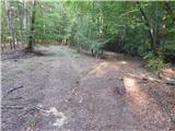 5
5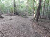 6
6 7
7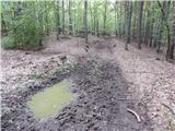 8
8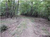 9
9 10
10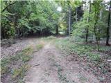 11
11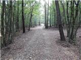 12
12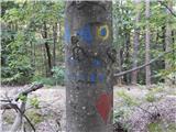 13
13 14
14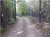 15
15 16
16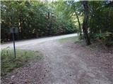 17
17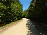 18
18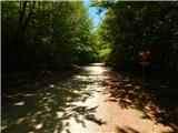 19
19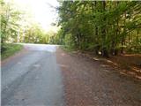 20
20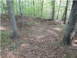 21
21 22
22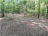 23
23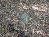 24
24