Starting point: Ožbalt (306 m)
Starting point Lat/Lon: 46.58365°N 15.39111°E 
Time of walking: 2 h 45 min
Difficulty: easy marked way
Difficulty of skiing: no data
Altitude difference: 657 m
Altitude difference (by path): 690 m
Map: Pohorje 1:50.000
Access to starting point:
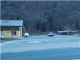
From the road Maribor - Dravograd we drive to the settlement Ožbalt, where we park near the parish church. Best at Kulturni dom Ožbalt by Drava. Another parking lot is located at few minutes distant cemetery, which is situated above the settlement.
Path description:
From the starting point, we at first carefully cross the main road, and opposite of the church at the marked parking lot by the succursal primary school Ožbalt (parking is allowed for employees and visitors of the school), we already notice first red hiking signposts, which point us on a side road, so that we bypass the school on the left side. Behind the school we bypass also agricultural supply store, and then we start ascending on the road which leads us by the stream Ožbaltski potok and here and there we go also past individual homesteads.
After a good hour of walking, we ascend to the altitude 577 meters, where before the homestead Mori we leave the asphalt road and we continue left on a cart track in the direction of Sršenov vrh. Short time the cart track leads by the right tributary of the stream Ožbaltski potok and then blazes point us on the left cart track which starts ascending diagonally towards the left, and higher it starts turning to the right. During the diagonal ascent for some time a view opens up a little and then the path returns into the forest, where there are several crossings. On all we carefully follow the blazes, and higher we cross a grazing fence and we leave the forest. We continue past the hunting observatory, and then by the pasture we ascend to homestead Holcman, where the cart track widens into a road. Next follows few minutes of panoramic ascent and a little right from the chapel we reach another road which we follow right downwards (left - homestead Kozjek).
Next follows a shorter descent through a lane of a forest, and when we reach an asphalt road, we go left (to he right we can on the road return into Ožbalt), where a little ahead we on the right side bypass homestead Zgornji Krampl.
Behind the homestead the road slightly ascends and it brings us to a crossing, where we continue left into the forest. Through the forest, we follow the blazes, and when we leave the forest we ascend to the farm Sršen, where we again step on the road.
Here we continue right in the direction of Sršenov vrh, few 10 meters further, when we get closer to a narrower lane of a forest we go slightly left on a footpath, on which we ascend to the nearby cottage and a little further also to an indistinct peak, on which there are transmitters.
Description and pictures refer to a condition in January 2022.
Pictures:
 1
1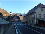 2
2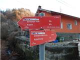 3
3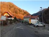 4
4 5
5 6
6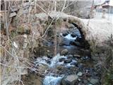 7
7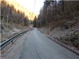 8
8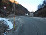 9
9 10
10 11
11 12
12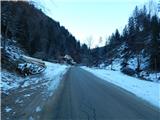 13
13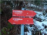 14
14 15
15 16
16 17
17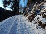 18
18 19
19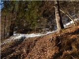 20
20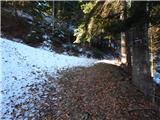 21
21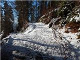 22
22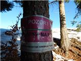 23
23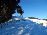 24
24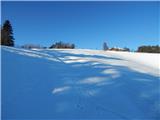 25
25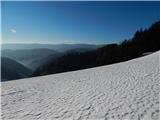 26
26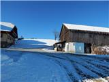 27
27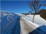 28
28 29
29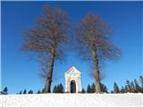 30
30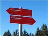 31
31 32
32 33
33 34
34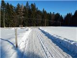 35
35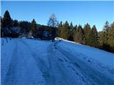 36
36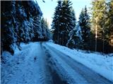 37
37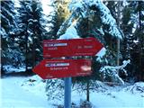 38
38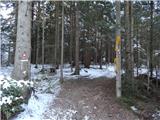 39
39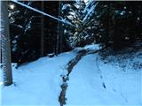 40
40 41
41 42
42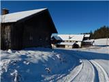 43
43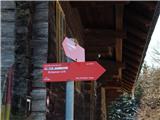 44
44 45
45 46
46 47
47 48
48 49
49 50
50