Passo di Fedaia - Punta Serauta (Via ferrata Eterna)
Starting point: Passo di Fedaia (2057 m)
Starting point Lat/Lon: 46.4534°N 11.8889°E 
Path name: Via ferrata Eterna
Time of walking: 6 h 30 min
Difficulty: extremely difficult marked way
Ferrata: C/D
Difficulty of skiing: no data
Altitude difference: 905 m
Altitude difference (by path): 1100 m
Map: Tabacco 07 1:25.000
Access to starting point:
First, we drive to Cortina d'Ampezzo (to here possible over a border crossing Rateče or Predel to Trbiž / Tarvisio and then on a highway in the direction of Videm / Udine to exit Tolmezzo. From Tolmezzo we follow the road in the direction of village Ampezzo and mountain pass Passo Mauria. The road then descends and it brings us to a crossroad, where we continue left (possible also right) in the direction of Cortina d'Ampezzo. At all next crossroads, we follow the signs for Cortina d'Ampezzo and then we follow the signs for Alpine mountain pass Passo di Falzarego. Already in the first part of the ascent towards the mountain pass Falzarego we will get to a crossroad, where signs for mountain pass Passo di Giau (2233 meters) and Marmolada point us to the left. The road behind the mountain pass Giau starts descending and lower we follow it through the settlements in the direction of Marmolada or mountain pass Passo di Fedaia. The road which then again starts ascending higher brings us on the mountain pass Fedaia where we park on a parking lot at the mountain hut Rifugio Fedaia.
Access from Primorska: We drive on a highway in the direction of Padova, but only to a highway junction, where we continue in the direction of Veneto and Belluno. Near Belluno the highway ends, and we follow the road ahead in the direction of Belluno, where at the larger crossroad we continue right in the direction of the town Agordo. From the mentioned town ahead we follow frequent signs for Marmolada or mountain pass Passo di Fedaia. When we get to the mentioned mountain pass, we park on a parking lot at the mountain hut Rifugio Fedaia.
Path description:
The initial part of the described path is CLOSED! Entrance in secured part of the path is changed and is now located below the western slopes of the ridge. And access runs on a ski slope.
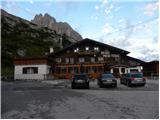
Old description: From the parking lot on the mountain pass, we continue left and at first, we descend a little on a grassy slope. We will soon on the right below the wall notice a footpath which leads through dwarf pines. We go on this footpath and start ascending diagonally in the direction towards the southeast. The path then turns to the right and then follows an ascent on a grassy slope towards a wall. A little before a wall path brings us to a crossing where the path towards the summit Sass del Mul branches off to the right. We continue to the left towards a wall on which we can see big red letter F. Here is the beginning of a climbing part of the path.
At the beginning of the path there is also a wooden sign on which was a warning, that the path is closed. Warning on a sign is unfortunately gone, but the path is still CLOSED! (August 2011) In case if you will still go on this path, it is highly recommended to belay with a rope, because mainly in the first part of the path fixed safety gear are in very bad condition, and on some spots there aren't any fixed safety gear at all.
Climbing path named Via ferrata Eterna is otherwise in the initial part steeply ascending on a rocky slope and all the time runs in the direction towards the southwest. From the path is a very nice view back towards the mountain pass Fedaia and on peaks northern and east from the mountain pass Fedaia. On climbing path we climb on solid rock, and fixed safety gear are mostly placed the way, that we are using them only for belaying and »pulling on steel cable« isn't possible. It should be noted also, that distance between spikes on which steel cable is attached to is quite big. Climbing path then brings us to the main ridge where it turns slightly to the right.
Further, the path runs on and by the precipitous ridge and several times steeply ascends and descends. The path is on some spots very exposed, and all the time it is secured only with a steel cable, only occasionally we will notice some iron spike, which is here from the time of the first world war. The closer we get to the summit Punta Serauta more remains from the first world war we will notice by the path. At the end follows an ascent on stemples, which brings us in artificial cave where the path Via ferrata Eterna ends.
Further, we walk on a little wider path by the steel cable, which leads us past numerous military caverns. When we come to a crossing we continue right upwards and a short ascent follows by the steel cable to the top.
The descent is the easiest to the hut Rifugio Serauta from which into a valley leads cable car. The second option is descent on a glacier, in this case, we need an ice axe and crampons. Third option is descent on climbing path Via ferrata Pontura.
The described path is extremely demanding and is the longest secured climbing path in the Dolomites. Appropriate is only for experienced mountaineers who are fit enough and use mandatory self belaying.
Currently the path is officially closed (August 2011).
Pictures:
 1
1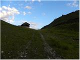 2
2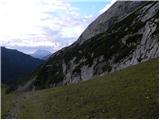 3
3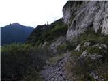 4
4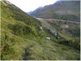 5
5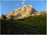 6
6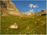 7
7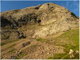 8
8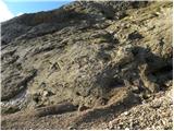 9
9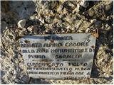 10
10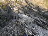 11
11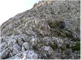 12
12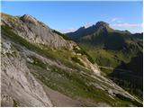 13
13 14
14 15
15 16
16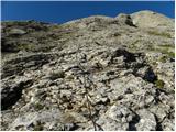 17
17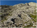 18
18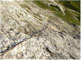 19
19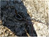 20
20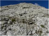 21
21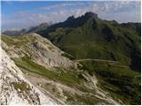 22
22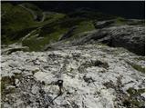 23
23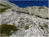 24
24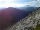 25
25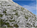 26
26 27
27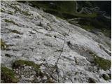 28
28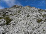 29
29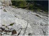 30
30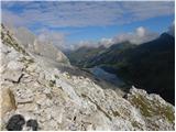 31
31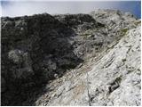 32
32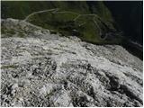 33
33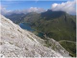 34
34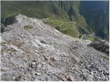 35
35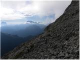 36
36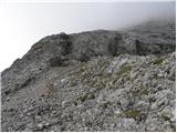 37
37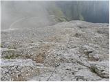 38
38 39
39 40
40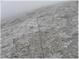 41
41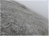 42
42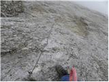 43
43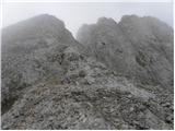 44
44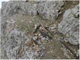 45
45 46
46 47
47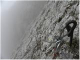 48
48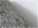 49
49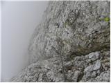 50
50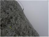 51
51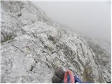 52
52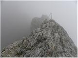 53
53 54
54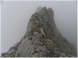 55
55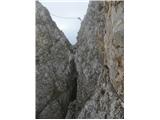 56
56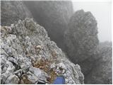 57
57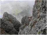 58
58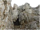 59
59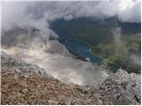 60
60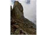 61
61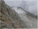 62
62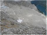 63
63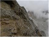 64
64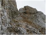 65
65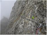 66
66 67
67 68
68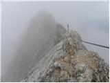 69
69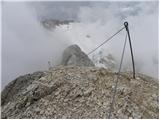 70
70 71
71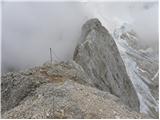 72
72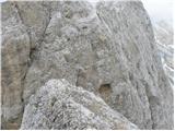 73
73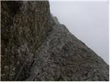 74
74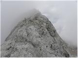 75
75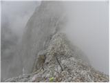 76
76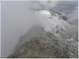 77
77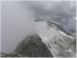 78
78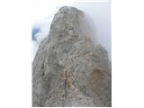 79
79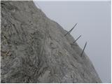 80
80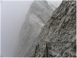 81
81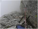 82
82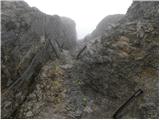 83
83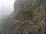 84
84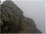 85
85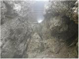 86
86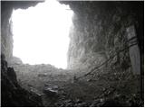 87
87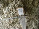 88
88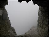 89
89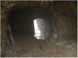 90
90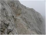 91
91 92
92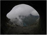 93
93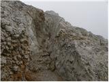 94
94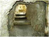 95
95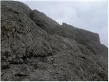 96
96 97
97