Pertoča - Sveta Helena (Pertoča)
Starting point: Pertoča (226 m)
Starting point Lat/Lon: 46.77081°N 16.0373°E 
Time of walking: 20 min
Difficulty: easy unmarked way
Difficulty of skiing: no data
Altitude difference: 72 m
Altitude difference (by path): 72 m
Map: Pomurje 1:40.000
Access to starting point:
We drive to Gederovci (to here from Murska Sobota or Radenci), and then we continue driving towards Kuzma. After Cankova we drive also through the settlement Ropoča, and then we already get to Pertoča, where at the bus stop, which is situated near the crossroad, where a road branches off to the left towards Fikšinci, there is the beginning of the described path. At the starting point, there aren't any parking spots.
Path description:
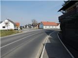
From the spot, where we've parked or from the bus stop we walk to a crossroad, from which we go on a side road towards Fikšinci, and at the crossroad there are signs also for hairdresser salon Frizeraj. Further, we start gradually ascending, and the path leads past the bench and a cross. When higher we get to the settlement of several houses, we go right in the direction of the church of St. Helena (straight - Fikšinci). Next follows even a little steeper ascent by the cemetery and we get to the church of St. Helena, which is situated on the top of a smaller hill.
Description and pictures refer to a condition in March 2022.
Pictures:
 1
1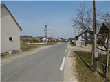 2
2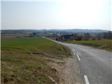 3
3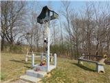 4
4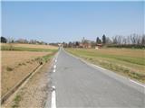 5
5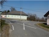 6
6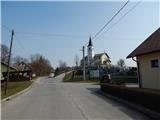 7
7 8
8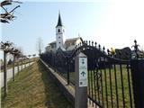 9
9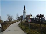 10
10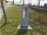 11
11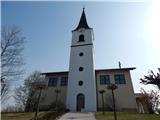 12
12 13
13