Peskovci - Church of the Holy Trinity (Gornji Petrovci)
Starting point: Peskovci (276 m)
Starting point Lat/Lon: 46.80826°N 16.24524°E 
Time of walking: 40 min
Difficulty: easy marked way
Difficulty of skiing: no data
Altitude difference: 79 m
Altitude difference (by path): 90 m
Map: Pomurje 1:40.000
Access to starting point:
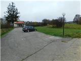
We drive to Murska Sobota, and then we follow the signs for Hodoš. When we get to the settlement Peskovci we leave the main road and we turn left into the settlement, and then we drive to the evangelical cemetery, where we park.
Path description:
From the parking lot at the cemetery we continue on a cart track which continues straight upwards and in a gentle ascent leads among the fields. Higher, when we reach a lane of bushes, the cart track for some time turns a little to the left and then turns back towards the north and we join the marked path which starts on the other side of the village Peskovci, but there aren't any parking spots.
We follow the mentioned path to the left, and it leads on an indistinct summit Kančec (322 meters). After the mentioned peak we leave the edge of the forest and the cart track further leads again among the fields, and few minutes later we reach the macadam road which we follow to the right. The path ahead leads us past individual houses, and at few smaller crossroads we continue straight. When we higher reach a small saddle we go right on a side road, by which the blazes continue, and the road ascends a little steeper and in few minutes of additional walking brings us to the church of the Holy Trinity.
Description and pictures refer to a condition in November 2022.
On the way: Kančec (322m)
Pictures:
 1
1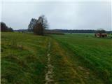 2
2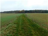 3
3 4
4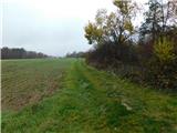 5
5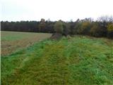 6
6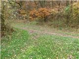 7
7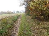 8
8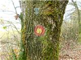 9
9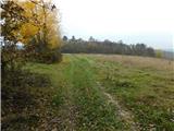 10
10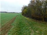 11
11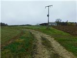 12
12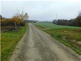 13
13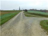 14
14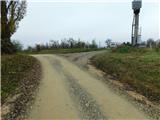 15
15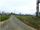 16
16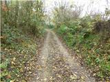 17
17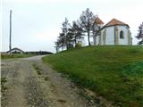 18
18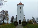 19
19