Starting point: Petrovo Brdo (803 m)
Starting point Lat/Lon: 46.2157°N 13.9997°E 
Time of walking: 2 h 30 min
Difficulty: easy marked way
Difficulty of skiing: partly demanding
Altitude difference: 827 m
Altitude difference (by path): 827 m
Map: Škofjeloško in Cerkljansko hribovje 1:50.000
Access to starting point:
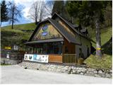
From Železniki we drive towards Tolmin or vice versa, we follow the road to the settlement Petrovo Brdo, where on a parking lot at the mountain hut Planinski dom Petrovo Brdo we also park. The mountain hut is located right next to a crossroad, where the road on Soriška planina branches off.
Path description:
At the crossroad, by which we parked, we notice hiking signposts for Porezen, which point us on a narrow and ascending road. After a short ascent, we step on a scenic ridge, from which a view opens up on a mountain chain of Spodnje Bohinjske gore. Higher, the road passes into the forest, where for some time it is moderately ascending, and then blazes point us to the right on a footpath which is ascending on and by abandoned cart track. After few minutes, we return on the road, and we follow it only for a short time because signs for Porezen, again bring us into the forest, where we continue the ascent on a forest path. Only few 10 strides higher we step on a macadam road, we only cross it and on the other side, it ascends steeply on the stairs. The path ahead passes into a dense forest, where it is then moderately to steeply ascending. Following otherwise marked path, is on some spots because of many crossings and shortcuts a little harder, otherwise there aren't any bigger orientation problems. Higher, the path turns a little more to the right and it also considerably flattens. After few minutes of easy walking we step out of the forest, on a little bigger, but quite overgrown clearing. We continue on a marked path, which gradually passes into a thin forest, through which it is moderately ascending. Higher the forest gets even a little more thinner, so that beautiful views start to open up on the mountain range Spodnje Bohinjske gore. Further, we bypass on the right side an indistinct Pohoški kup (1542 meters) and only few meters behind its peak, we step on the main ridge of Porezen, the peak of which we already clearly see in front of us. Few minutes of easy walking follows and a very scenic path quickly brings us to the mountain hut Dom Andreja Žvana - Borisa na Poreznu.
Behind the hut we notice signs for the peak of Porezen, which point us on ascending path, on which in few minutes of a diagonal ascent we get on 1630 meters high peak.
Pictures:
 1
1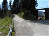 2
2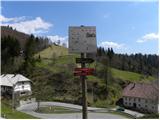 3
3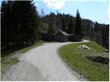 4
4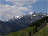 5
5 6
6 7
7 8
8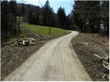 9
9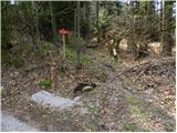 10
10 11
11 12
12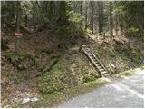 13
13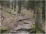 14
14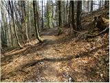 15
15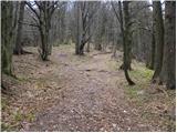 16
16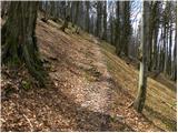 17
17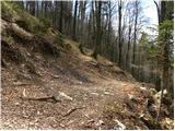 18
18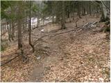 19
19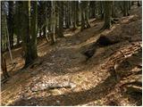 20
20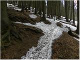 21
21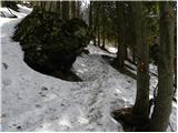 22
22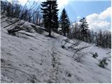 23
23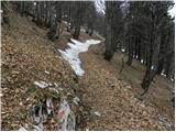 24
24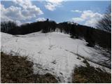 25
25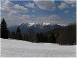 26
26 27
27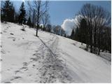 28
28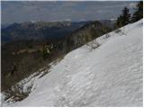 29
29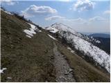 30
30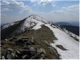 31
31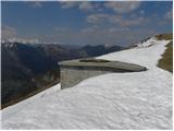 32
32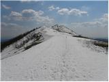 33
33 34
34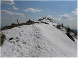 35
35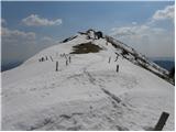 36
36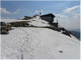 37
37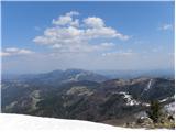 38
38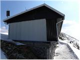 39
39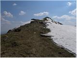 40
40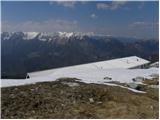 41
41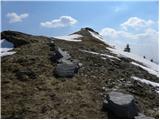 42
42 43
43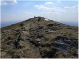 44
44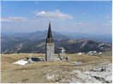 45
45 46
46