Phliški bajer - Rašica (Vrh Staneta Kosca) (ridge path)
Starting point: Phliški bajer (329 m)
Starting point Lat/Lon: 46.1669°N 14.537°E 
Path name: ridge path
Time of walking: 2 h
Difficulty: easy marked way
Difficulty of skiing: no data
Altitude difference: 312 m
Altitude difference (by path): 435 m
Map: Ljubljana - okolica 1:50.000
Access to starting point:
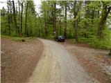
A) We leave Gorenjska highway at exit Vodice, and then we continue driving towards Kamnik, and then in Vodice we turn slightly right in the direction of the settlement Bukovica. Further, we drive on the road towards Mengeš, and we are driving there to a crossroad at the end of the settlement Koseze, where at the bus stop, we turn right in the direction of Šinkov Turn and Rašica. Few 10 meters further we leave the asphalt road and we continue left on a macadam road in the direction of Rašica and mountain hut Mengeška koča. When we leave the main road, we park on an appropriate place by the road, possible also a little further by the lake Phliški bajer or Koseški bajer.
B) We drive to Mengeš, after that from the main crossroad in the center of Mengeš, we continue driving towards Kranj. A little further from the main road we turn slightly left on the road in the direction towards Vodice. At the beginning of the settlement Koseze we get to a crossroad, where at the bus stop we turn left in the direction of Šinkov Turn and Rašica. Few 10 meters further we leave the asphalt road and we continue left on a macadam road in the direction of Rašica and mountain hut Mengeška koča. When we leave the main road, we park on an appropriate place by the road, possible also a little further by the lake Phliški bajer or Koseški bajer.
Path description:
From the starting point, we continue in the direction of Rašica, Dobeno and mountain hut Mengeška koča, and then before the lake Phliški bajer or Koseški bajer we turn right. We continue by the lake, and when the western "coast" ends, we continue left, for some time still by the lake, and then sharply right, on a cart track which ascends diagonally on a slope. The marked path soon turns back towards the left, and at the crossings we follow the marked path, and there a little ahead we reach a marked crossing.
From the crossing, we continue a little right in the direction of the ridge path on Rašica (left mountain hut Mengeška koča ridge path, slightly left mountain hut Mengeška koča bottom path). Next follows a walk through the forest with some ascents and descents, and at the crossings we follow the blazes and signs for ridge path (grebenska pot) on Rašica. Such a path, with numerous crossings, we then follow all the way to Vrh Staneta Kosca, on which there are a lookout tower and few steps ahead also the mountain hut.
Description and pictures refer to a condition in the year 2017 (April).
On the way: Debeli hrib (594m)
Pictures:
 1
1 2
2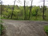 3
3 4
4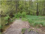 5
5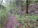 6
6 7
7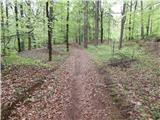 8
8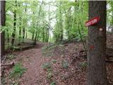 9
9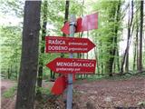 10
10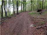 11
11 12
12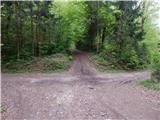 13
13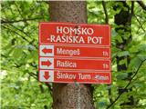 14
14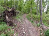 15
15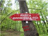 16
16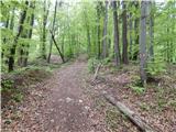 17
17 18
18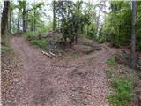 19
19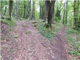 20
20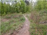 21
21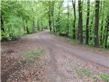 22
22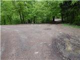 23
23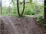 24
24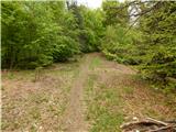 25
25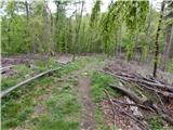 26
26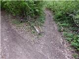 27
27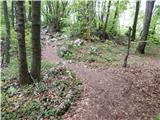 28
28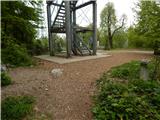 29
29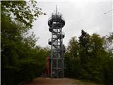 30
30 31
31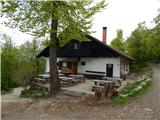 32
32