Pirman - Planinski dom na Kureščku
Starting point: Pirman (360 m)
Starting point Lat/Lon: 45.8738°N 14.6054°E 
Time of walking: 1 h 45 min
Difficulty: easy marked way
Difficulty of skiing: no data
Altitude difference: 400 m
Altitude difference (by path): 485 m
Map:
Access to starting point:
A) First, we drive to Škofljica (from Ljubljana or Grosuplje to here), and then we continue driving in the direction of Velike Lašče, Ribnica and Kočevje. When we get to Pijava Gorica, we leave the main road and continue right in the direction of the settlement Želimlje. When we get to the hamlet Podreber, we continue straight (right Želimlje) and further we drive through the valley of Želimeljščica. A few kilometers ahead, a road branches off to the left, which ascends to Turjak, and we still continue through the valley and follow the road to Pirman, by which there is a crossroad, where the road branches off to the right towards Četež, Javorje and Kurešček, and straight ahead the road continues towards Prazniki. We park in an appropriate place near the crossroad, by Pirman, where there are hiking signposts, there aren't any appropriate parking spots.
B) To the starting point, we can also get from the direction of Turjak, namely on a narrower road which leads past the castle. Near the castle the road starts descending steeply and lower it brings us to a crossroad, where we continue left. From the spot when we get into the valley, we drive on the road only about 200 to 300 m and the road brings us to Pirman, where we park near the crossroad.
Path description:
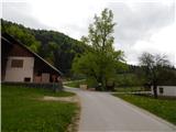
From Pirman we continue in the direction of Kurešček, on the road which crosses the stream Granjevca and which a few 10 steps ahead brings us to the next crossroad. Again we continue right in the direction of Kurešček and Četež (slightly left Škamevec and Javorje), this time on the road which passes into the forest. Still before the road turns to the right, signs for the path of signalmen and couriers (Pot vezistov in kurirjev) point us to the right on a cart track. For a short time we ascend on the cart track, then otherwise rare blazes point us to the left on a footpath which a little ahead brings us to the edge of the forest, and a few steps higher it crosses the road which we left a few minutes ago. On the other side of the road we continue on an old cart track which quickly passes from the forest onto grassy slopes, from which a nice view opens up towards the castle Turjak. The cart track higher turns right, then after a further shorter ascent it brings us to the village Četež pri Turjaku.
Here we continue past a few houses, then we return to the asphalt road. We follow the road to the left, and it brings us past the chapel to the spot where asphalt and settlement end. We continue the path on the macadam road, from which beautiful views open up on the surrounding hills and nearby meadows. Initially still quite steep, the road soon flattens and passes into more plateau-like terrain over which it ascends gently to moderately. Higher we reach the settlement Zapotok, where the road becomes asphalt again, and at the first crossroad we continue left in the direction of Kurešček. A little further, at the sign for the water protection area we continue right, then a few steps ahead, at a poorly marked junction slightly left onto the upper road. We continue past a few more houses, then right in the direction of Kurešček (signs for Brinov Grič are in the opposite direction of our arrival). Further the road leads us also past the water tank, asphalt ends a little ahead, and at the smaller crossroad we continue straight onto the worse road which leads us also past the "last" house. The road a little further changes into a pleasant footpath which brings us to a bench which is located by a larger clearing. At the bench the path turns right, a few 10 steps higher it passes into the forest. For a few minutes we ascend through the forest, then we step onto a cart track which we follow to the right, along which we quickly arrive at the asphalt road which we reach by the nearby cemetery.
We follow the road straight or slightly right (left to the peak of Kurešček less than 5 minutes), and it brings us in a gentle descent out of the forest onto grassy terrain, from where a beautiful view opens up. From here only a short walk follows and the path brings us to the mountain hut.
Description and pictures refer to the condition in 2015 (May).
On the way: Četež pri Turjaku (514m), Zapotok (632m)
Pictures:
 1
1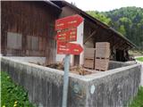 2
2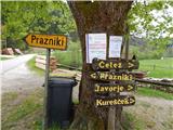 3
3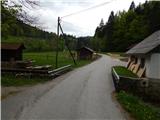 4
4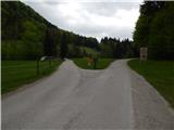 5
5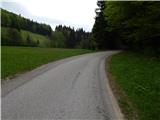 6
6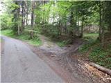 7
7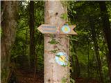 8
8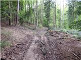 9
9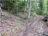 10
10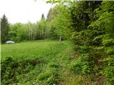 11
11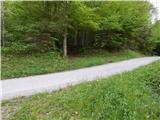 12
12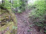 13
13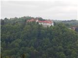 14
14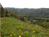 15
15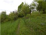 16
16 17
17 18
18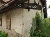 19
19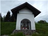 20
20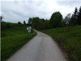 21
21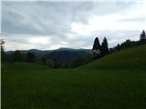 22
22 23
23 24
24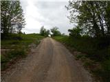 25
25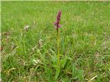 26
26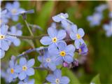 27
27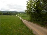 28
28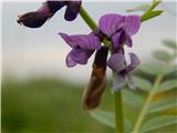 29
29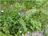 30
30 31
31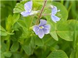 32
32 33
33 34
34 35
35 36
36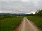 37
37 38
38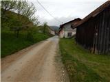 39
39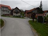 40
40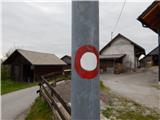 41
41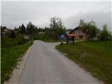 42
42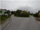 43
43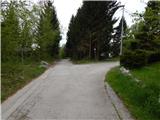 44
44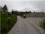 45
45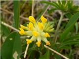 46
46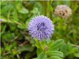 47
47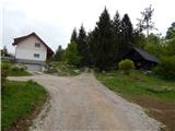 48
48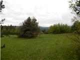 49
49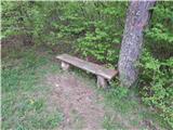 50
50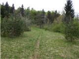 51
51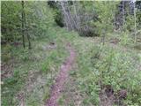 52
52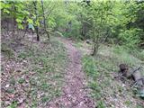 53
53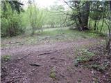 54
54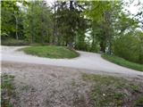 55
55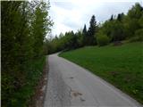 56
56 57
57 58
58 59
59 60
60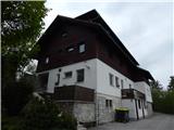 61
61