Plajberški graben / Bleiberger Graben - Sinacher Gupf / Psinski vrh
Starting point: Plajberški graben / Bleiberger Graben (1000 m)
Starting point Lat/Lon: 46.4895°N 14.2166°E 
Time of walking: 1 h 35 min
Difficulty: easy marked way
Difficulty of skiing: partly demanding
Altitude difference: 577 m
Altitude difference (by path): 577 m
Map: Karavanke - osrednji del 1:50.000
Access to starting point:
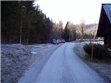
We drive to a border crossing Ljubelj and ahead on the Austrian side. Soon after that, when on the left side of the road, we notice a smaller church road towards the village Žabnica / Bodental branches off to the left. We follow this road to the parking lot in front of signs for Psinski vrh / Sinacher Gupf.
Path description:
At the end of the parking lot signs point us on the right road, that is gently ascending on a grassy slope. While walking on the road, we can on the left side notice our destination, which we will reach after an hour and a half of walking. The road then in few minutes brings us to the chapel where there is also a sign which is prohibiting further driving. The road which is then ascending gently after 20 minutes of walking, it brings us to the crossing on the saddle Vranjica / Orienzasattel.
Here we continue on the left road which we then after few steps leave. From the road marked footpath branches off to the left upwards, which leads on our destination. The path then gets closer to a large forest clearing by which we are for some time ascending. And from the top of this clearing a nice view opens up on part of the valley Drautal. The path is then for some time ascending on and by a wide forested ridge, which isn't too steep. When the path passes from the ridge on steep slopes path starts ascending steeply towards the summit of the mountain. Only few steps below the summit we step out of the forest and in front of us, we notice a cross, which is situated on the summit of the mountain.
On the way: Sedlo Vranjica / Orienzasattel (1122m)
Pictures:
 1
1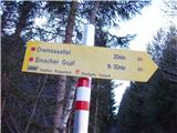 2
2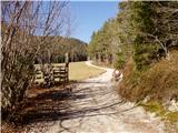 3
3 4
4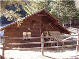 5
5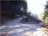 6
6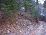 7
7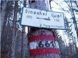 8
8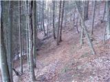 9
9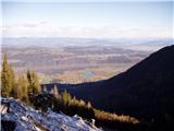 10
10 11
11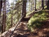 12
12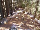 13
13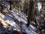 14
14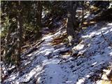 15
15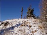 16
16