Planina pri Sevnici - Koprivnik (Bohor)
Starting point: Planina pri Sevnici (588 m)
Starting point Lat/Lon: 46.10116°N 15.41185°E 
Time of walking: 2 h
Difficulty: easy marked way
Difficulty of skiing: no data
Altitude difference: 396 m
Altitude difference (by path): 510 m
Map:
Access to starting point:
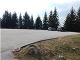
A) We drive to Sevnica (to here from Radeče, Mokronog or Krško), and then we go on the road in the direction of Planina pri Sevnici. When we get to Petrol gas station, which is located right next to Planina pri Sevnici, we turn right in the direction of company Montpreis and immediately after the crossroad we park on a larger asphalt parking lot by the cemetery.
B) We drive to Šentjur (to here from Celje, Štajerska highway exit Dramlje or Šmarje pri Jelšah), and then we follow the signs for Kozje and Planina pri Sevnici. At the end of Šentjur we go right in the direction of Planina pri Sevnici (slightly left - Kozje and Podsreda). Further, we are mostly ascending, and when the road flattens we on the right side we notice Petrol gas station, which is located right next to Planina pri Sevnici, and we go left in the direction of company Montpreis and then immediately after the crossroad we park on a parking lot by the cemetery.
Path description:
From the parking lot, we return to the main road and at the nearby crossroad, we go towards Sevnica. Approximately 20 minutes we are descending along the main road, from which beautiful views opening up on surrounding hills, and then we get to the settlement Stara Žaga, where blazes point us to the left on a side road. The path ahead ascends past few houses and we get to a marked crossing, where the marked path splits.
We continue on the road in the direction of Koča na Bohorju (right - Skalica), which at the end of the settlement becomes a macadam and brings us into the gorge of the stream Beli potok. Higher, the road makes two hairpin turns, and at the crossroad after the second hairpin turn we go left. For some time we are still ascending on the road, and when the road turns right, we continue left along a small stream, where on a short steep part we get help from a rope (greater danger of slipping is mainly in wet and if it is frozen). A little further, we get help from another rope, and then we diagonally ascend to the saddle north from Kamni vrh (833 meters), where we return on the road and where there is a marked crossing.
Sharply to the left a path branches off towards the partisan hospital, to the left on the road leads the path towards the eastern part of Bohor, and we continue straight on a marked road in the direction of Koča na Bohorju. We continue on the macadam road which a little ahead brings us to the next crossroad.
This time we continue sharply left (if we continue straight we can get to Hunting lodge Bohor and on the saddle between Veliki and Mali Javornik) and we still continue the ascent on the road which leads through the forest. Next follows a longer diagonal ascent towards the left, and when we reach the saddle between Koprivnik on the left and Veliki Javornik on the right, we get to a marked crossing.
We continue straight in the direction of Koča na Bohorju and Koprivnik (right - Veliki Javornik), and then already after few steps we go from the road left on the path in the direction of Koprivnik.
From the spot, when we leave the road we start ascending through the forest and in few minutes we reach the peak of Koprivnik.
Planina pri Sevnici - Stara Žaga 0:20, Stara Žaga - Koprivnik 1:40.
Description and pictures refer to a condition in March 2022.
On the way: Doropolje (568m), Stara Žaga (518m), Škofov križ (923m)
Pictures:
 1
1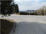 2
2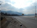 3
3 4
4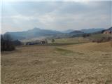 5
5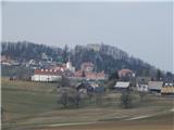 6
6 7
7 8
8 9
9 10
10 11
11 12
12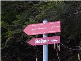 13
13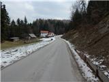 14
14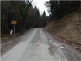 15
15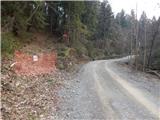 16
16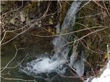 17
17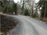 18
18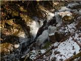 19
19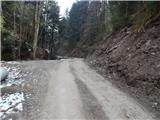 20
20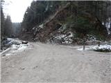 21
21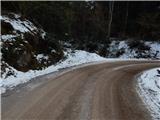 22
22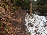 23
23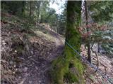 24
24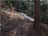 25
25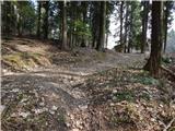 26
26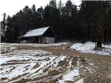 27
27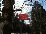 28
28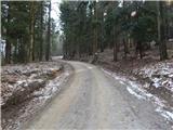 29
29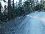 30
30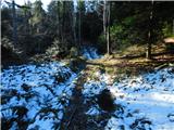 31
31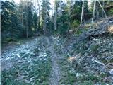 32
32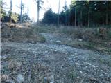 33
33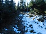 34
34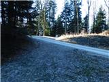 35
35 36
36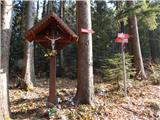 37
37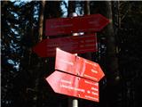 38
38 39
39 40
40 41
41 42
42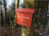 43
43