Plöckenpass - Creta di Collina / Kollinkofel (path 171)
Starting point: Plöckenpass (1360 m)
Starting point Lat/Lon: 46.6027°N 12.9447°E 
Path name: path 171
Time of walking: 4 h
Difficulty: very difficult marked way
Difficulty of skiing: no data
Altitude difference: 1331 m
Altitude difference (by path): 1350 m
Map: Tabacco 09 1:25.000
Access to starting point:
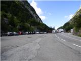
From Trbiž / Tarvisio we go on the highway towards Videm / Udine. We leave the highway at exit for Tolmezzo. Further, we follow the signs for Austria and mountain pass Passo di Croce Carnico / Plöckenpass. On Italian side of the mountain pass, we park on a large parking lot.
Path description:
At the parking lot, we go on a narrow road following the signs Rifuggio Marinelli (path 146). Already after few ten meters, we come to a crossroad where we go right on a military mule track on which we are then ascending through a thin forest and meadows below the steep slopes of the mountain Creta di Collinetta (2238m). Military mule track passes into a footpath and quickly we also come to the crossroad, where the path to the mentioned mountain branches off to the right.
We continue on the left path, which in a gentle ascent crosses grassy slopes and it brings us on a smaller plain. Here from the left joins an unmarked path from the mountain pasture Collinetta di Sotto, and only a little after that, we come to a marked crossing where the path on Cresta Verde (2150 meters) branches off to the right. We continue on the path 146 towards the mountain hut Marinelli to which is a little less than two hours. Here the path becomes a little steeper and is ascending through slightly overgrown bushes and high grass. When we come from the bushes path becomes more gentle and we soon come to a marked crossing.
Straight leads the path towards the mountain hut Marinelli, and we go right upward on the path 171a, which leads towards the summit Creta di Collina. From the crossing, the path is for quite some time mostly in zig-zags ascending on a grassy slope and then slowly turns slightly to the left. When we get closer to the side ridge from the left a little precipitous side joins the path 171 from the mountain hut Marinelli. Further, we are still ascending on a grassy slope, which is becoming increasingly steep. After that, the path turns a little to the right and brings us on more rocky terrain. Here the path becomes demanding and is also secured with a steel cable. Further, the path few times crosses exposed slope to the right and brings us near the bigger gully. Here the path turns to the left and is then for some time ascending on a slope upwards. The slope is quite steep and the path is occasionally secured with a steel cable. A little higher our path turns to the right and then follows a steep ascent through the gully. The path is here well-secured and from the gully brings us on less steep slopes, which are partly covered with grass.
The path here turns to the left and is then long time ascending on a slope by the ridge towards the north. Occasionally we get very close to the ridge and then also a view opens up also on the west side. Such a path then runs all the way to a crossing little below the summit Creta di Collina where there is also a smaller bivouac.
Left leads secured path towards the summit Creta della Chianevate, and we go right towards the summit Creta di Collina. From the crossing, we at first ascend on a rocky slope to the ridge, after that follows a shorter ascent on a slightly exposed and unsecured ridge to the top, which we already see in front of us.
The descent is easiest on the ascent route. The descent is possible also on the eastern side but this path is more demanding and isn't secured.
On the way: bivak (2650m)
Pictures:
 1
1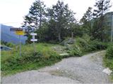 2
2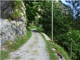 3
3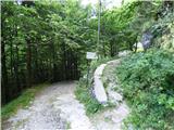 4
4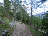 5
5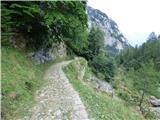 6
6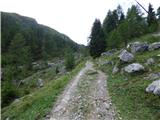 7
7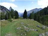 8
8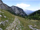 9
9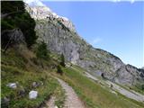 10
10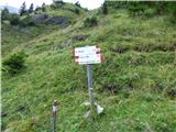 11
11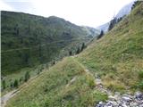 12
12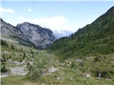 13
13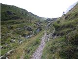 14
14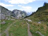 15
15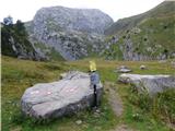 16
16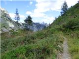 17
17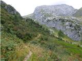 18
18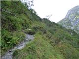 19
19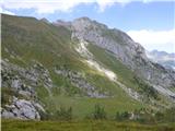 20
20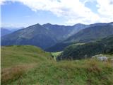 21
21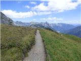 22
22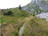 23
23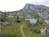 24
24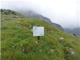 25
25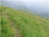 26
26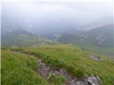 27
27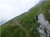 28
28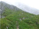 29
29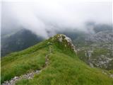 30
30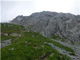 31
31 32
32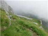 33
33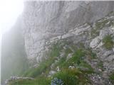 34
34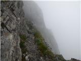 35
35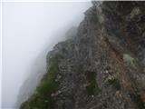 36
36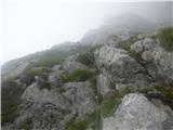 37
37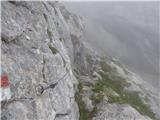 38
38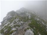 39
39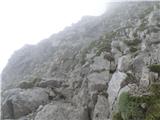 40
40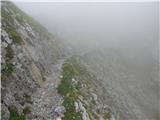 41
41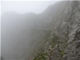 42
42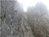 43
43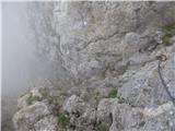 44
44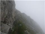 45
45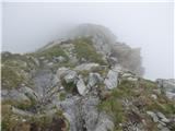 46
46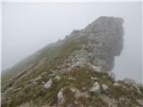 47
47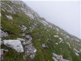 48
48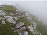 49
49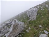 50
50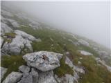 51
51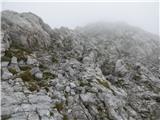 52
52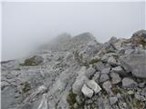 53
53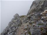 54
54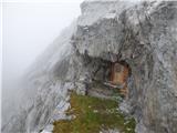 55
55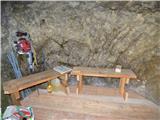 56
56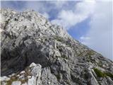 57
57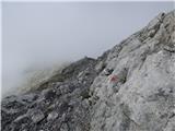 58
58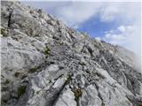 59
59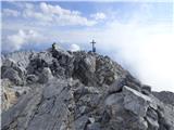 60
60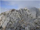 61
61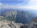 62
62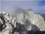 63
63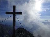 64
64