Starting point: Podbrdo (508 m)
Starting point Lat/Lon: 46.2132°N 13.9717°E 
Time of walking: 3 h 5 min
Difficulty: easy unmarked way
Difficulty of skiing: no data
Altitude difference: 1278 m
Altitude difference (by path): 1278 m
Map: Škofjeloško in Cerkljansko hribovje 1:50.000
Access to starting point:
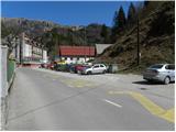
A) First, we drive to Škofja Loka, and then we continue driving towards Železniki, Podbrdo and Tolmin. When we get to Podbrdo, we park at a suitable place in the center of the settlement.
B) From the road Idrija - Most na Soči, at the settlement Bača pri Modreju we turn right, or left, if we come from the direction of Posočje, and we continue driving towards Podbrdo. When we get to Podbrdo, we park at a suitable place in the center of the settlement.
Path description:
From the center of Podbrdo we continue along the main road towards Tolmin. The road first leads under the railway, then brings us to a crossroads, where the road to the village Porezen branches off to the left, and to the right towards Bača pri Podbrdu. From here we continue along the main road for only a few dozen meters, then the signs for the village Trtnik and Črna prst direct us onto a narrower and ascending road. We follow this somewhat narrower road, which ascends west of Podbrdo, all the way to the village Trtnik, which we reach after approximately 20 minutes of walking.
In Trtnik the signs for Črna prst direct us straight uphill onto a marked footpath, which first leads up the stairs of the nearby residential house, then transitions to a grassy slope, where it steeply ascends beside the orchard. Higher up the path enters the forest and gradually flattens. The path continues through the forest and soon joins a partly stony cart track, which we follow to the right. Along the cart track we continue ascending diagonally to the right; it occasionally leads across steeper slopes. Since the path is wide enough, the steepness of the slope does not cause major problems; we must be careful mainly at one spot, where there are usually lots of leaves and the path is consequently quite slippery. Higher up we cross a somewhat larger gully, then the cart track brings us to a forest road, along which we ascend in a few minutes to the nearby saddle Sedlo, where there is a marked junction.
From Sedlo, where the path from the village Kal and the path from Kocenpohar join us, we continue straight along the cart track, which we follow only briefly, as the blazes then direct us left onto a footpath that begins to ascend ever more steeply through the forest. Higher up the trail temporarily flattens somewhat, then brings us to a viewpoint with a bench. Somewhat beyond the bench the trail splits into two parts (the right path is more beaten), then after approximately 15 minutes they merge again. Just a little above the junction of both paths we reach the next bench, from which a beautiful view opens towards Kobla and the peaks above Soriška planina.
From the bench we continue briefly through the forest, then the path transitions to increasingly panoramic grassy slopes. When we step out of the forest, the path slowly begins to turn somewhat to the right, then turns left and ascends diagonally to the saddle Čez Suho, where the path from the Bohinj side joins us.
At the mentioned saddle we leave the marked path and continue the ascent to the right along an unmarked trail that climbs the ridge of Rušni vrh. The steepness quickly eases and the increasingly panoramic path brings us, after 5 minutes of walking from the place where we left the blazes, to the little-visited summit.
On the way: Trtnik (656m), Sedlo (985m), Čez Suho (1760m)
Pictures:
 1
1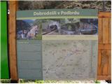 2
2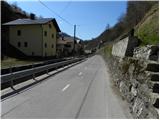 3
3 4
4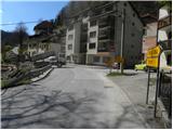 5
5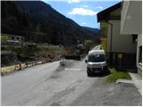 6
6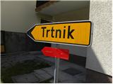 7
7 8
8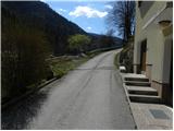 9
9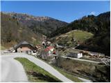 10
10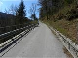 11
11 12
12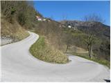 13
13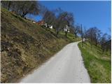 14
14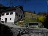 15
15 16
16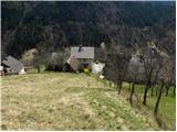 17
17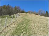 18
18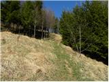 19
19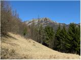 20
20 21
21 22
22 23
23 24
24 25
25 26
26 27
27 28
28 29
29 30
30 31
31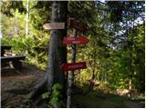 32
32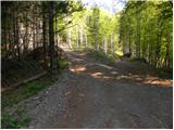 33
33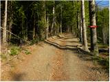 34
34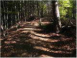 35
35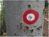 36
36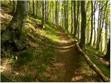 37
37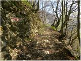 38
38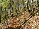 39
39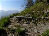 40
40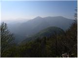 41
41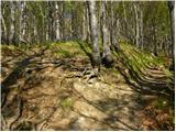 42
42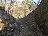 43
43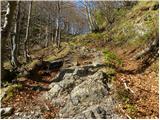 44
44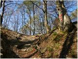 45
45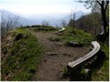 46
46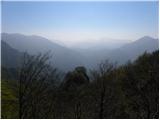 47
47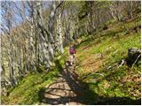 48
48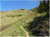 49
49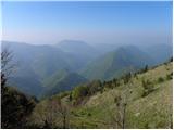 50
50 51
51 52
52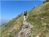 53
53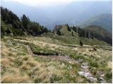 54
54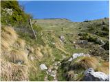 55
55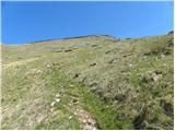 56
56 57
57 58
58 59
59 60
60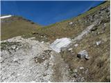 61
61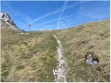 62
62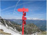 63
63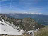 64
64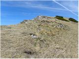 65
65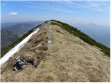 66
66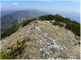 67
67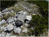 68
68