Starting point: Podmeja (724 m)
Starting point Lat/Lon: 46.1861°N 15.0618°E 
Time of walking: 2 h
Difficulty: easy unmarked way
Difficulty of skiing: no data
Altitude difference: 408 m
Altitude difference (by path): 440 m
Map: Posavsko hribovje - zahodni del 1:50.000
Access to starting point:
A) From the Ljubljana - Celje highway, we take the Šempeter exit and continue driving towards Prebold and later Trbovlje. We then follow the serpentine road to the Podmeja pass, where we park on the parking lot near the hunting lodge.
B) From Zasavje, we first drive to Trbovlje, then continue driving towards Prebold. When we come to the Podmeja pass, we park on the parking lot near the hunting lodge.
Path description:
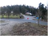
From the Podmeja pass, we head west on a poorer macadam road towards Sveta planina. After a few dozen steps, we leave the road and continue on a cart track that gently ascends through the forest. Higher up, the cart track flattens out completely and from an indistinct ridge gradually transitions to the shady side. Here the marked cart track turns sharply right (poorly marked) and begins to descend more noticeably. At the end of the descent, we step onto a wide cart track, along which we walk a few steps to the asphalt road, which we follow to the right. Further on, with a view of Kum and ascending past a few houses, we climb to a marked junction, where we continue in the direction of "Sveta planina - pešpot (footpath)" (right: Sveta planina car access).
Further on, we ascend for quite some time along a gently sloping macadam road, then reach a small hamlet where we continue sharply right and then immediately behind the house left onto an ascending cart track. The cart track first leads across grassy meadows, higher up it even descends slightly for a short while, then takes us into dense forest where it begins to ascend more steeply. Higher up, the path turns left and after a few dozen steps of further walking brings us to a shrine next to which stands a lonely house. Behind the house, the path widens again and past a water trough brings us onto expansive grassy slopes north of Sveta planina.
Here we continue right towards the summit Javor (left: Sveta planina 5 minutes, slightly right along the road to Planinski dom Vrhe mountain hut) and proceed initially along a gentle cart track. The cart track, continuing across a panoramic grassy slope, soon begins to ascend steeply and splits into two parts. We choose the right cart track, which climbs above the water tank, then on the left side find a poorly trodden path, along which with a few minutes' ascent through the forest we climb to a solitary cottage in the middle of the forest. From the cottage we continue straight ahead and along a poorly trodden path in a few minutes ascend to the forest-covered summit.
Pictures:
 1
1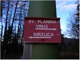 2
2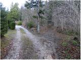 3
3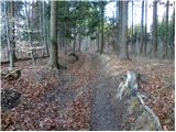 4
4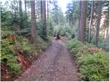 5
5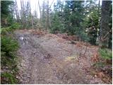 6
6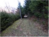 7
7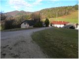 8
8 9
9 10
10 11
11 12
12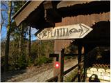 13
13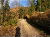 14
14 15
15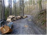 16
16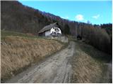 17
17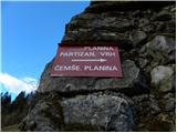 18
18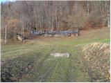 19
19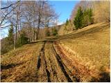 20
20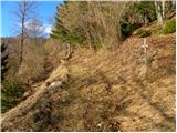 21
21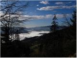 22
22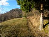 23
23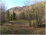 24
24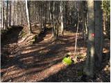 25
25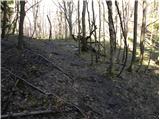 26
26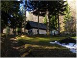 27
27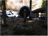 28
28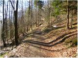 29
29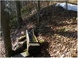 30
30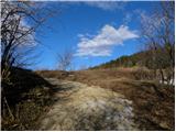 31
31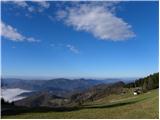 32
32 33
33 34
34 35
35 36
36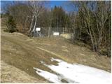 37
37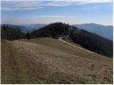 38
38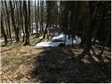 39
39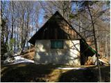 40
40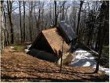 41
41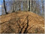 42
42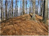 43
43 44
44