Polhov Gradec (Blagajev grad) - Polhograjska Gora (Sveti Lovrenc)
Starting point: Polhov Gradec (Blagajev grad) (377 m)
Starting point Lat/Lon: 46.0679°N 14.3137°E 
Time of walking: 1 h 5 min
Difficulty: easy marked way
Difficulty of skiing: partly demanding
Altitude difference: 447 m
Altitude difference (by path): 447 m
Map: Ljubljana - okolica 1:50.000
Access to starting point:
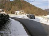
A) From Dobrova, Horjul or Gorenja vas we drive to Polhov Gradec, there from the main crossroad we continue in the direction of Črni Vrh. After a short ascent, we get to Polhov Gradec mansion, where the road leads us through walls, after that behind the wall we turn left and we park on an appropriate place by the road, where there are also hiking signposts (smaller parking lot is also before the wall of Polhov Gradec mansion).
B) From Črni Vrh we descend in Polhov Gradec, there before the wall we turn right and we park on an appropriate place by the road.
Path description:
Near the mansion we notice signs for Polhograjska gora (Sveti Lovrenc). At first, we follow the asphalt road which after few ten strides of walking, it brings us to the beekeeping center in front of which, it is prohibited to park.
Ahead there is the beginning of the footpath which immediately starts ascending steeply. The ascent on the steep path through the forest is brightened up by the altitude sign every 100 altitude meters. The steepness then slowly starts decreasing and the path brings us on a wide cart track which we follow only few steps, because at the open door farm it ends. Further, we continue past the chapel on the left or the right path. Both paths in approximately five minutes of ascent bring us on a panoramic peak.
Pictures:
 1
1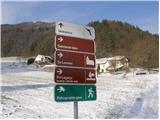 2
2 3
3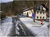 4
4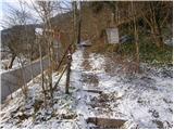 5
5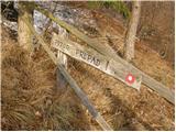 6
6 7
7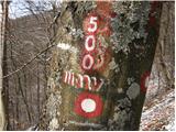 8
8 9
9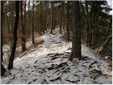 10
10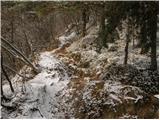 11
11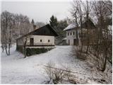 12
12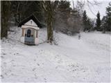 13
13 14
14 15
15