Polja - Dreiländereck Hütte (via Kališje)
Starting point: Polja (1028 m)
Starting point Lat/Lon: 46.5085°N 13.751°E 
Path name: via Kališje
Time of walking: 2 h
Difficulty: easy unmarked way
Difficulty of skiing: no data
Altitude difference: 395 m
Altitude difference (by path): 500 m
Map: Kranjska Gora 1:30.000
Access to starting point:
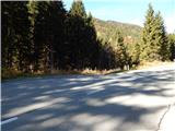
A) First, we drive to Kranjska Gora, and then we continue driving towards Rateče. In Podkoren we turn right in the direction of the mountain pass Korensko sedlo. Above Podkoren road turns sharply left, after that for some time crosses slopes towards the left. About 50 meters before the road sign 1 km, forest road branches off to the left, on which we turn and we park there on an appropriate place by the road.
B) Over the border crossing Predel we drive to Italy, and then we continue driving towards Trbiž / Tarvisio and forward to Rateče. In Rateče we continue straight, after that in Podkoren we turn left towards Austria. Above Podkoren road turns sharply left, after that for some time crosses slopes towards the left. About 50 meters before the road sign 1 km, forest road branches off to the left, on which we turn and we park there on an appropriate place by the road.
Path description:
From the starting point, we continue on the forest road which makes a u-turn to the left and for some time leads by the pasture. The road which after the turn starts gently to moderately ascending, soon crosses the stream Kališnik, after that is slowly turning more and more to the right. Higher, we get to the panoramic part, from which a nice view opens up towards Kranjska Gora and part of Julian Alps. Next follows crossing of a grazing fence, immediately after the mentioned crossing we continue right on partly overgrown cart track which ascends diagonally above the road. Few minutes we are ascending on an overgrown cart track, after that cart track passes into a dense forest, where it is easier passable. Higher, on the part where the cart track vanishes in grass, we continue right and in few steps we join the path which leads from Rateče.
Further, we are ascending on an area named Lomiči, where on more grassy spots we notice old, mostly already quite worn out hayloft. During the ascent on the mentioned part when we look back, several times a nice view opens up on Julian Alps, and higher we reach the macadam road which we follow to the left (right branch of the road soon ends). On the road, we are few minutes ascending, and then we get to a crossing, where we continue left (slightly right Petelinjek, sharply right Kališje).
Further, we walk on the road which continues with some shorter ascents and descents and runs on the western slopes of the ridge of Petelinjek. When crossing below mentioned ridge ends, at the information board of tourist path Tromeja, we join a little wider road which comes from Rateče. We continue on the road slightly right, and then a little ahead we leave mentioned road and we continue right, on the path which brings us on the Austrian side of the national border.
On Austrian side we reach the nearby ski slope, and we continue right to the nearby mountain hut Dreiländereck Hütte.
Description and pictures refer to a condition in the year 2016 (October).
On the way: Lomiči (1300m)
Pictures:
 1
1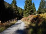 2
2 3
3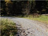 4
4 5
5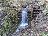 6
6 7
7 8
8 9
9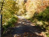 10
10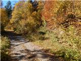 11
11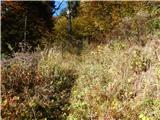 12
12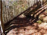 13
13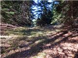 14
14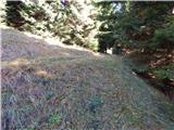 15
15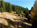 16
16 17
17 18
18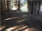 19
19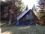 20
20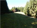 21
21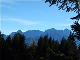 22
22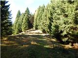 23
23 24
24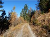 25
25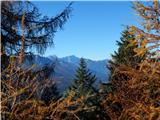 26
26 27
27 28
28 29
29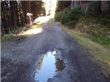 30
30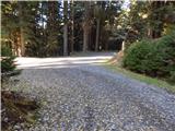 31
31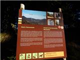 32
32 33
33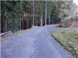 34
34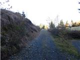 35
35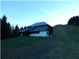 36
36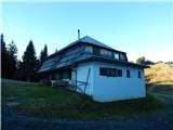 37
37