Poljana (Završnica) - Prešernova koča na Stolu (Zabreška pot)
Starting point: Poljana (Završnica) (640 m)
Starting point Lat/Lon: 46.4072°N 14.1461°E 
Path name: Zabreška pot
Time of walking: 4 h 25 min
Difficulty: easy marked way
Difficulty of skiing: no data
Altitude difference: 1534 m
Altitude difference (by path): 1615 m
Map: Karavanke - osrednji del 1:50.000
Access to starting point:
From highway Ljubljana - Jesenice we go to the exit Lesce and follow the road ahead in the direction of Žirovnica and Jesenice. After few km of driving, we will get to a crossroad, where the road in Žirovnica and Moste branches off to the right (from the direction of Jesenice left). Only few meters ahead in the next crossroad, we turn left in Moste (right Žirovnica). Further, we drive past a monument to fallen soldiers, where the road starts ascending on a hill below the railway track. On top of the slope, we turn right (at the sign Vila Karin), and then drive towards the lake Završniško jezero and Valvasorjev dom. The road then flattens and it brings us to a crossroad, where the road to Valvasorjeve dom branches off to the left. Here we continue straight towards Završnica and then after 100 meters we park on a well-settled asphalt parking lot.
Path description:
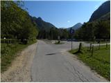
From the parking lot, we return on an asphalt road to the crossroad, and from there we continue in the direction of the mountain hut Valvasorjev dom pod Stolom and mountain pasture Potoška planina. From the crossroad, for some time we walk on a scenic macadam road, and then blazes and signs for Valvasorjev dom point us to the left on a marked footpath which gently descends to the nearby stream Rečica. Through a footbridge we cross the mentioned stream and then we get to a larger meadow, through which we gently ascend slightly towards the left. On the other side of the meadow, the path goes into the forest and passes on a relatively steep cart track, on which we ascend to an indistinct small saddle between the peaks Sivo rebro and Smolnik.
From here only for a short time, we continue on a cart track, and then signs point us to the right on a footpath which ascends diagonally over a short rough slope. Well maintained path then turns to the left and is further ascending diagonally over occasionally steeper slopes of the peak Smolnik. All the time quite wide path, higher brings us to a forest road which we only cross. On the other side of the road, we go right and we continue the ascent on a poorly marked path, which higher also has some unmarked shortcuts. This path, which is in the upper part because of numerous footpaths also orientationally a little harder, we follow all the way to the mountain hut Valvasorjev dom pod Stolom.
From Valvasorjev dom we go right on a footpath in the direction of Stol. The path soon goes into the forest, where it slightly ascends and it brings us to a smaller crossing, where we continue right. The path then brings us out of the forest, where crosses slopes below Monštranca. This gentle path, which a little further crosses a short lane of a forest we follow to a crossing on Žirovniška planina.
We continue slightly right in the direction of »Stol - Zabreška pot« (left Stol Žirovniška pot) on at first hard to follow footpath which soon passes into the forest. Next follows approximately half an hour of walking on the path which mostly crosses the southern slopes of Stol. Only a little further from the spot, where from the right side, the path from Zabreška planina joins, marked path which leads on Stol starts ascending steeper. A little further, we come out of the forest to the mountain pasture Stara planina, on which stands a newer cottage "Betonska bajta". Behind the mentioned cottage path turns a little to the right and starts ascending even steeper, at first through the forest and then on the more and more panoramic slopes, which are partly covered with dwarf pines. The path ahead then past the pleasant resting place "Pri Janezu" quickly brings us to Finžgarjeva skala (here we will in spring months notice auriculas). The path which ahead runs on the more and more panoramic grassy slope, higher turns quite to the left and occasionally starts vanishing. Further, in front of us we already notice a mountain hut Prešernova koča, to which we ascend after a little less than 30 minutes of additional walking.
Pictures:
 1
1 2
2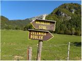 3
3 4
4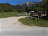 5
5 6
6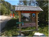 7
7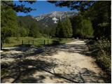 8
8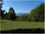 9
9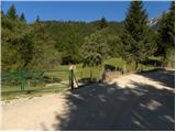 10
10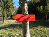 11
11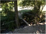 12
12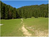 13
13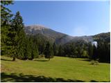 14
14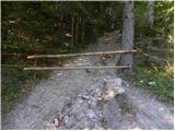 15
15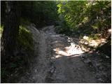 16
16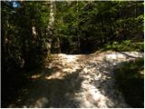 17
17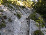 18
18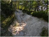 19
19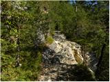 20
20 21
21 22
22 23
23 24
24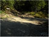 25
25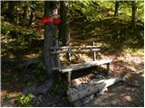 26
26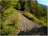 27
27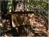 28
28 29
29 30
30 31
31 32
32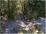 33
33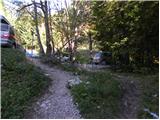 34
34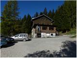 35
35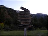 36
36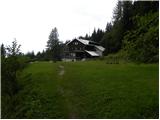 37
37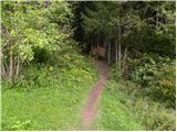 38
38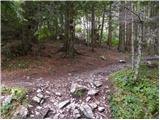 39
39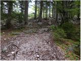 40
40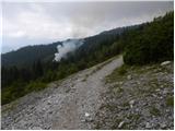 41
41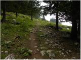 42
42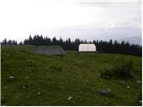 43
43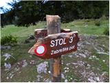 44
44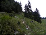 45
45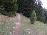 46
46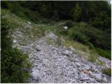 47
47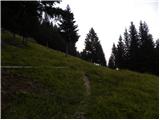 48
48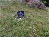 49
49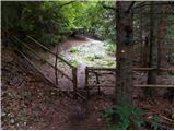 50
50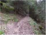 51
51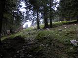 52
52 53
53 54
54 55
55 56
56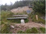 57
57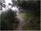 58
58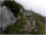 59
59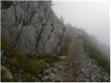 60
60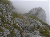 61
61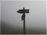 62
62 63
63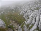 64
64 65
65 66
66 67
67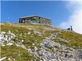 68
68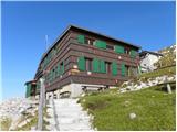 69
69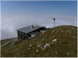 70
70