Starting point: Povlje (710 m)
Starting point Lat/Lon: 46.3296°N 14.3768°E 
Time of walking: 2 h 45 min
Difficulty: easy marked way
Difficulty of skiing: no data
Altitude difference: 1005 m
Altitude difference (by path): 1010 m
Map: Karavanke - osrednji del 1:50.000
Access to starting point:
A) From highway Ljubljana - Jesenice we go to the exit Brnik, when we reach the road Mengeš - Kranj, we continue left towards Kranj. On the main road towards Kranj we drive to first roundabout, from where we continue on first exit right in the direction of Šenčur. Through Šenčur we continue on the main road, after we reach the road Kranj - Zgornje Jezersko, we continue right in the direction of Jezersko. When we get to Preddvor we leave the main road and we continue driving left towards the center of the mentioned settlement, from there we follow the signs for settlement Bašelj. A little after the settlement Bašelj the road descends to a stream Milka and over a bridge also crosses it. Here at first road in the village Babni Vrt branches off to the right, and good 100 meters ahead also in the village Povlje. We continue on an ascending road towards Povlje, and we park on a smaller parking lot above the village. At the starting point, there is a smaller crossroad, more mountain signposts and larger information board of learning path Trstenik "Pot pod Storžičem".
B) From highway Jesenice - Ljubljana we go to the exit Kranj west, and then we continue driving towards Golnik. When we get to Tenetiše we leave the main road towards Golnik and we continue driving right in the direction of Trstenik. Approximately 1km after the settlement Trstenik we get to a smaller crossroad, where we continue left in the direction of village Povlje. We continue on an ascending road towards Povlje, and we park on a smaller parking lot above the village. At the starting point, there is a smaller crossroad, more mountain signposts and larger information board of learning path Trstenik "Pot pod Storžičem".
Path description:
From the parking lot, we go on the left road in the direction of Velika and Mala Poljana (path between the both roads leads on the mountain pasture Javornik, also the path Dolenčeva pot on Velika Poljana). The road soon turns left, where leads us past the water storage and quarry. A little further, the road changes into a cart track, and for some time it steeply ascends. A little after the cart track flattens and turns right in the forest, from there a marked footpath branches off a little more to the right, on which we continue the ascent. We short time continue the ascent by a torrent, and then the path turns left and it ascends diagonally, in the last part over a little rough gully. On top of the gully, we step on a some kind of a ridge between two streams, where from the left joins the path from the village Goriče and Zalog. A short ascent follows on a panoramic ridge and then we get to a marked crossing, from where we continue on the bottom left path in the direction of Mala Poljana (right Velika Poljana).
We continue on the path which after few additional strides, brings us into with forest vegetated valley. A poorly visible footpath, ahead is ascending through the mentioned valley, which is becoming narrower and gradually changes into ditch. Further, we are ascending on a barely visible footpath which is ascending between two steep slopes. The path which is mainly covered with leaves and is on some parts exposed to falling stones, higher brings us on at first quite rough cart track, on which we in few minutes step out of the forest on the bottom part of Mala Poljana. Cart track on which we continue an ascent, after few minutes of additional walking brings us to the hunting cottage on Mala Poljana.
From Mala Poljana, where join paths from Velika Poljana and mountain hut Dom pod Storžičem, we continue left in the direction of Tolsti vrh, on the path which ascends diagonally on the western edge of the mountain pasture. Higher, the path goes into the forest, where with the exception of some smaller clearings continues until we get on a ridge, where joins the path from Gozd.
We continue right on ascending path, which through thin, mostly spruce forest brings us on the upper unvegetated slope of Tolsti vrh. This increasingly panoramic path, which is relatively steeply ascending on the south ridge, we follow all the way to the top of this panoramic of the mountain.
Povlje - Mala Poljana 1:45, Mala Poljana - Tolsti vrh 1:00.
Pictures:
 1
1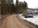 2
2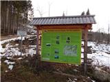 3
3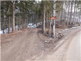 4
4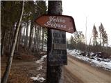 5
5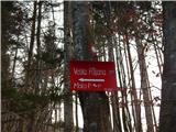 6
6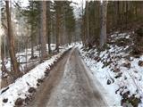 7
7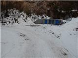 8
8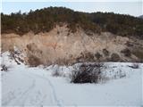 9
9 10
10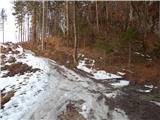 11
11 12
12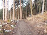 13
13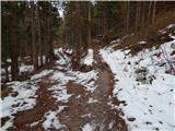 14
14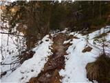 15
15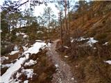 16
16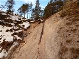 17
17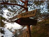 18
18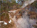 19
19 20
20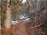 21
21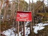 22
22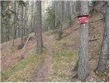 23
23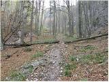 24
24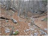 25
25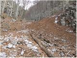 26
26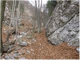 27
27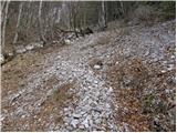 28
28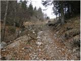 29
29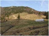 30
30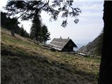 31
31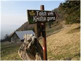 32
32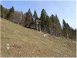 33
33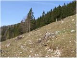 34
34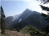 35
35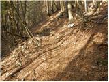 36
36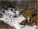 37
37 38
38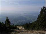 39
39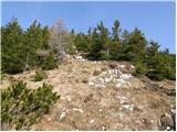 40
40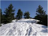 41
41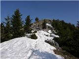 42
42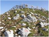 43
43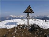 44
44