Povodje - Veliki vrh (Rašica)
Starting point: Povodje (316 m)
Starting point Lat/Lon: 46.1382°N 14.4791°E 
Time of walking: 45 min
Difficulty: easy unmarked way
Difficulty of skiing: no data
Altitude difference: 252 m
Altitude difference (by path): 252 m
Map: Ljubljana - okolica 1:50.000
Access to starting point:
From highway Ljubljana - Jesenice we go to the exit Ljubljana - Šmartno, and we follow the road to the mentioned settlement, where we turn right on the road which leads towards Vodice. Further, we drive towards Vodice, and at the first crossroad after overpass over the highway we turn right, where after 100 meters of driving, we get to fish farm Povodje. At the starting point, there aren't any parking spots, but we can find appropriate place somewhere nearby.
Path description:
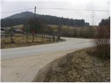
By the fish farm we notice signs for Vrh Staneta Kosca, which point us to the left on an asphalt road, on which we walk to houses there. Further, we over the bridge cross a stream and then we continue on the road which is with a traffic sign closed for public traffic. We continue on the road for approximately 100 meters and then blazes point us right on a cart track which starts gently ascending. When we step into the forest, blazes from the cart track point us to the right on a footpath which ascends diagonally through the forest. A little higher, the path turns to the left and starts ascending steeper. Because the path ahead has quite a few smaller crossings, we carefully follow the blazes, not to go astray from the right path. Higher, the path brings us below the steep slopes of Mali vrh, which we bypass on the right side. After few minutes of additional walking, the path flattens and it brings us on a macadam road. We walk on the road only about 20 meters and then we continue right on a cart track, from which immediately unofficially marked footpath branches off to the left, which leads on Veliki vrh.
Further, we are ascending on occasionally a little worse visible footpath, by which there are arrows on the trees which are drawn with a spray. Soon the path steeply ascends and brings us on a ridge covered with a forest. The path higher for some time entirely flattens, and then past the abyss Markonovo brezno in few minutes brings us on Veliki vrh.
Pictures:
 1
1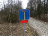 2
2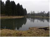 3
3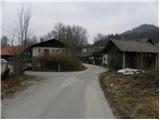 4
4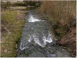 5
5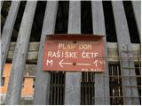 6
6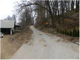 7
7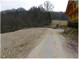 8
8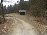 9
9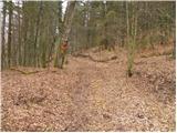 10
10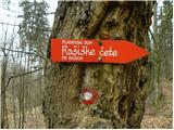 11
11 12
12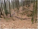 13
13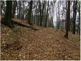 14
14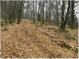 15
15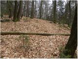 16
16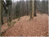 17
17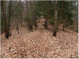 18
18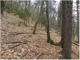 19
19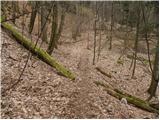 20
20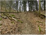 21
21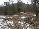 22
22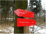 23
23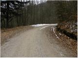 24
24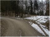 25
25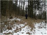 26
26 27
27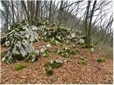 28
28 29
29 30
30 31
31 32
32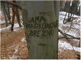 33
33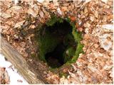 34
34 35
35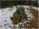 36
36