Starting point: Pred Belo (571 m)
| Latitude/Longitude: | 46,31880°N 14,60050°E |
| |
Walking time: 5 h 30 min
Difficulty: partly demanding unmarked way
Elevation gain: 1452 m
Elevation difference along the route: 1452 m
Map: Kamniške in Savinjske Alpe 1:50.000
Recommended equipment (summer):
Recommended equipment (winter): ice axe, crampons
Views: 11.137
 | 1 person like this post |
Access to starting point:
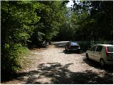
We drive to Kamnik and follow the road ahead towards the valley of Kamniška Bistrica. Approximately 2 km after the lower station of the cable car to Velika planina, we will notice on the right side of the road a parking lot and mountain signposts for Presedljaj, Konj and Korošica (the parking lot is located after the bridge).
Route description:
From the parking lot, we head onto the path in the direction of Presedljaj, Korošica, Konj and Ojstrica. Already after a few meters the path turns to the right, where it first ascends barely noticeably, then starts descending and after a few minutes joins a wide cart track. We continue the ascent on a gentle cart track, which soon crosses a torrent, then gently to moderately ascends towards the head of the valley Kamniška Bela.
After a good 30 minutes of walking from the starting point, we come to a marked junction, where we continue right on the marked path (left to waterfall Orglice and Korošica via Šraj pesek). The cart track soon after the junction changes into an increasingly steep footpath, which leads us further through dense forest. Higher, the path turns slightly to the left and crosses a torrent gully. A little further, the path via Najnar štant branches off to the left almost unnoticeably (demanding and exposed path that leads to Korošica, higher it joins the path via Šraj pesek), while we continue straight on the marked path, which starts ascending in numerous switchbacks. Higher, the path steeply ascends for a short time and brings us to a nice viewpoint with a table and bench.
The path ahead slightly descends, crosses a steep slope and brings us to a torrent gully. Here the path turns to the left side of the slope, first ascends with the help of some pegs and higher steel cables, then returns to the forest, where it steeply ascends for some time. Higher, the path temporarily flattens, then steeply ascends again and in a few minutes of further walking brings us to the saddle Presedljaj, where there is a marked junction.
We continue left in the direction of Korošica (right Konj) on the path that starts ascending along the left side of an indistinct ridge. After a few minutes, the path turns to the right and flattens. We continue on a locally quite overgrown footpath that gently ascends through a belt of dwarf pines. A little further, the path crosses an exposed slope above the valley Lučka Bela, where there is also a memorial plaque to the deceased mountaineer. Just a few meters behind the memorial plaque, the slope flattens and brings us to an unmarked junction, where an unmarked path to Vršiči and Vežica branches off to the left.
We continue straight on the marked path, which heads north and with a few shorter ascents and descents quickly brings us to the place where we join a more trodden path from the valley Lučka Bela. Here we continue left, and the path quickly brings us to the place where the path to Lučki Dedec branches off to the left (the junction is marked).
At the place where we notice the signs for Lučki Dedec, we leave the marked path and continue the ascent on an initially well-visible track. The path continues through a small valley, then turns right and steeply ascends. Further on, the track, along which there are numerous cairns, starts to fade, but in good weather this causes no orientation problems. This is followed by an ascent over smaller rocky terrain, then the path moves onto grassy slopes surrounded by dwarf pines. Here we will already notice one of the three peaks of Lučki Dedec on the right, while we continue straight on the path that brings us to the main ridge. On the ridge, we continue slightly left and the path past the second forepeak quickly brings us to a large meadow, across which we ascend to the precipitous summit in a few steps.

Along the route: Presedljaj (1613m)
Photos:
 1
1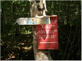 2
2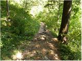 3
3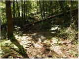 4
4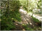 5
5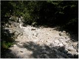 6
6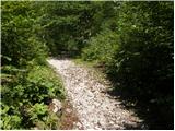 7
7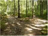 8
8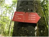 9
9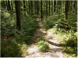 10
10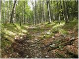 11
11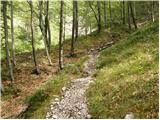 12
12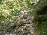 13
13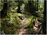 14
14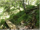 15
15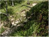 16
16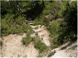 17
17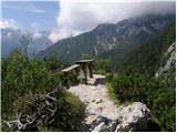 18
18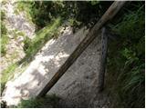 19
19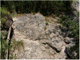 20
20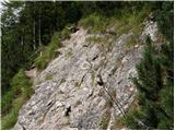 21
21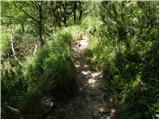 22
22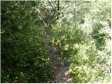 23
23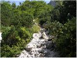 24
24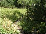 25
25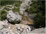 26
26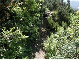 27
27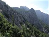 28
28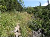 29
29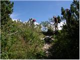 30
30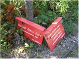 31
31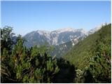 32
32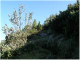 33
33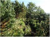 34
34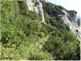 35
35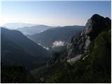 36
36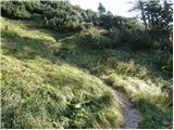 37
37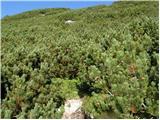 38
38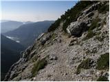 39
39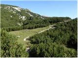 40
40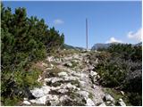 41
41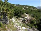 42
42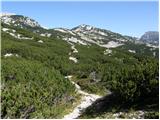 43
43 44
44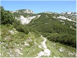 45
45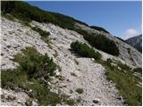 46
46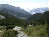 47
47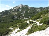 48
48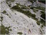 49
49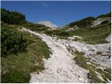 50
50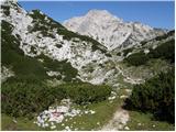 51
51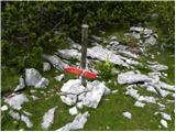 52
52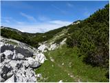 53
53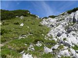 54
54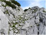 55
55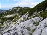 56
56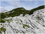 57
57 58
58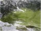 59
59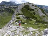 60
60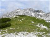 61
61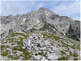 62
62
Discussion about the trip Pred Belo - Lučki Dedec
|
| redbull12. 02. 2012 |
Hello, I'm interested in what the path to Lučki Dedec is like in these conditions from Korošica to Lučki Dedec, if it's too dangerous or not now after February 15th.
Thanks for the information
Best regards
Dejan
|
|
|
|
| bo_zl21. 06. 2025 16:40:00 |
The path is well marked, at the junction for Dedec there's only a vertical stake left, no sign. Further on, it's nicely traceable with the help of many cairns. From the top, I descended to Korošica to see the tragedy up close. Timetable: to the top 4.5 hours, back from Korošica 3.5 hours, moderate pace with stops in between. On the entire path to the top, I didn't meet a living soul, on the way back from the Dedec junction only one, so it's a path for lovers of peace.
|
|
|
To post a comment you must log in:
If you do not yet have a username, you must first
register.