Predkonjska - Dom na Kisovcu (through Konjska dolina)
Starting point: Predkonjska (470 m)
Starting point Lat/Lon: 46.2836°N 14.6155°E 
Path name: through Konjska dolina
Time of walking: 3 h
Difficulty: partly demanding unmarked way
Difficulty of skiing: no data
Altitude difference: 805 m
Altitude difference (by path): 900 m
Map: Grintovci
Access to starting point:
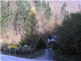
Through Kamnik we drive in the direction of Kamniška Bistrica and cableway on Velika planina. If we will return on the path past St. Primož, we park in Stahovica and we continue on foot, otherwise we drive a good 2 km to the inn Pri gamsu, where we park. We continue on the road over the stream Konjski potok (immediately below the road flows into in Kamniška Bistrica) and we turn right on the road past the house.
Path description:
The road changes into a cart track which leads us through gorge. Past shooting range we go to remains of bridge, where the cart track ends. Here we cross the stream and we continue on the left side just by the stream. The path is quite overgrown. When we cant go further anymore, we again cross the stream. From here ahead path mostly isn't marked, but orientation is easy, because we follow the stream. We cross side gullies (in some parts demanding). When right bank of the stream (on our left side) becomes easier passable, we ascend on forest broad ridge and there straight upwards, where we run into a footpath which branched off immediately at remains of bridge (but beginning is hardly noticeable, because everything is very overgrown). We are ascending in the same direction, until on approximately 1000 meters we reach hunting path which leads from the bottom cableway station on Velika planina to the mountain pasture Kisovec. On it right. The path runs gently diagonally on a slope, occasionally is rising in zig-zags. We cross more gullies, last is gully of the stream Konjski potok. From here steep in zig-zags (Gamsove streže) to a marked path Stahovica - Velika planina. Over it we descend on a marked path to the mountain pasture Kisovec and to the mountain hut.
The described path is impassable in high water level.
Pictures:
 1
1 2
2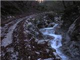 3
3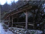 4
4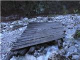 5
5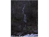 6
6 7
7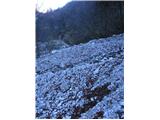 8
8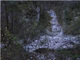 9
9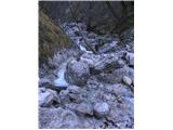 10
10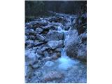 11
11 12
12 13
13 14
14 15
15 16
16 17
17 18
18 19
19 20
20 21
21 22
22 23
23 24
24 25
25 26
26 27
27 28
28 29
29 30
30 31
31 32
32 33
33 34
34 35
35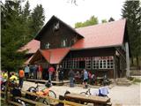 36
36