Preserje - Žalostna gora at Preserje
Starting point: Preserje (360 m)
Starting point Lat/Lon: 45.9548°N 14.4164°E 
Time of walking: 30 min
Difficulty: easy marked way
Difficulty of skiing: no data
Altitude difference: 58 m
Altitude difference (by path): 100 m
Map: Ljubljana - okolica 1:50.000
Access to starting point:
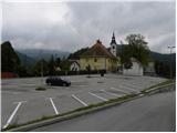
From the Ljubljana - Koper highway we take the Brezovica exit, then continue driving in the direction of Podpeči. In Podpeči, from where roads from Črna vas and Ig also join, we continue right in the direction of Krim, Rakitna and Borovnica. We follow the road towards Borovnica for a short time, then signs for Rakitna direct us left upwards onto a somewhat narrower and mainly steep road, which we then follow to the settlement Preserje. In Preserje a road towards Rakitna branches off sharply to the left, and we continue straight in the direction of Kamnik pod Krimom. From the crossroad we follow the main road a few tens of meters more, then we turn left towards the parish church of St. Vid in Preserje, in front of which we park on a large asphalt parking lot.
Path description:
From the parking lot, we return to the main road, on which we start descending towards Kamnik pod Krimom. After a short descent, we get to the mentioned settlement, and the road then stops descending, or even slightly ascends further on. The path ahead leads us past a bigger chapel, behind which we quickly get to the church of St. Florian. Behind the church, which is situated a few meters away from the main road, the road starts descending.
At the spot or a few meters further, where the road starts descending, we leave the main road and continue on the left road in the direction of Žalostna gora. Next follows a very short gentle ascent and we already get to the next crossroad, where signs for Žalostna gora point us to the right (slightly left Prevalje pod Krimom). From the crossroad, by which there is another chapel, the road first slightly descends, then starts gently to moderately ascending. Further, the road leads us past a few more residential houses, and then changes into macadam, on which through a linden avenue we ascend to the top of Žalostna gora.
On the way: Kamnik pod Krimom (355m)
Pictures:
 1
1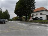 2
2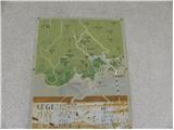 3
3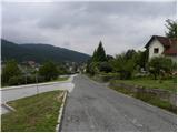 4
4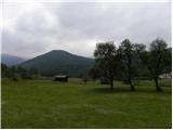 5
5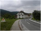 6
6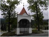 7
7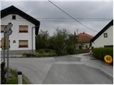 8
8 9
9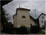 10
10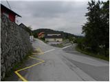 11
11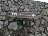 12
12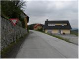 13
13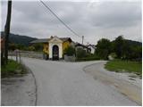 14
14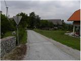 15
15 16
16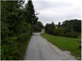 17
17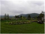 18
18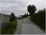 19
19 20
20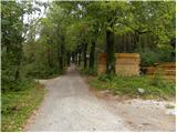 21
21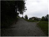 22
22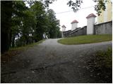 23
23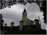 24
24 25
25