Puščava - Chapel of St. Ana in Puščava
Starting point: Puščava (354 m)
Starting point Lat/Lon: 46.55013°N 15.4236°E 
Time of walking: 8 min
Difficulty: easy marked way
Difficulty of skiing: no data
Altitude difference: -24 m
Altitude difference (by path): 20 m
Map: Pohorje 1:50.000
Access to starting point:
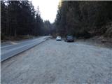
A) From the road Maribor - Dravograd, between HE Fala and HE Ožbalt we turn left towards Lovrenc na Pohorju (from the direction Dravograd we turn right). On the other side of Drava we start ascending along Radoljna, and at the marked crossroad, we go left towards Ruše and Činžat. Further, we go past the bus stop Puščava, and a little ahead on the right there is appropriate space for parking.
B) We drive into Ruše, and then we follow the road towards Lovrenc na Pohorju. In the settlement Činžat we get to a saddle, where the road starts descending, and lower the road continues along the stream Lamprehtov potok, where on the left we notice a space, where we can park.
Path description:
From the starting point, we continue along the asphalt road downwards, and when we get to the bus stop Puščava we go left on a marked path which continues on a wider cart track. We soon get to a small saddle, where on the left side we notice the church of Mary Help of Christians, and before crossing Radoljna we go right on the path, on which we quickly ascend to the chapel of St. Ana.
Description and pictures refer to a condition in February 2022.
Pictures:
 1
1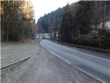 2
2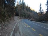 3
3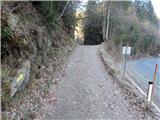 4
4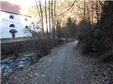 5
5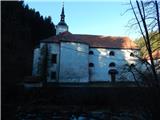 6
6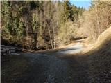 7
7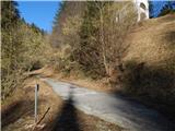 8
8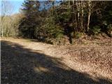 9
9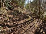 10
10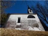 11
11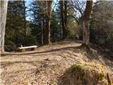 12
12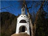 13
13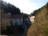 14
14