Puščava - Klančnik (Glančnik)
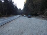
Starting point: Puščava (354 m)
Starting point Lat/Lon: 46.55013°N 15.4236°E 
Time of walking: 2 h 15 min
Difficulty: easy marked way
Difficulty of skiing: no data
Altitude difference: 523 m
Altitude difference (by path): 565 m
Map: Pohorje 1:50.000
Access to starting point:
A) From the road Maribor - Dravograd, between HE Fala and HE Ožbalt we turn left towards Lovrenc na Pohorju (from the direction Dravograd we turn right). On the other side of Drava we start ascending along Radoljna, and at the marked crossroad, we go left towards Ruše and Činžat. Further, we go past the bus stop Puščava, and a little ahead on the right there is appropriate space for parking.
B) We drive into Ruše, and then we follow the road towards Lovrenc na Pohorju. In the settlement Činžat we get to a saddle, where the road starts descending, and lower the road continues along the stream Lamprehtov potok, where on the left we notice a space, where we can park.
Path description:
From the starting point, we continue along the asphalt road downwards, and when we get to the bus stop Puščava we go left on a marked path which continues on a wider cart track. We soon get to a small saddle, where on the left side we notice the church of Mary Help of Christians. Only a little further, we get to a smaller crossing, where we go left over a bridge (right - chapel of St. Ana 3 minutes), and after the bridge by the church we reach a wider asphalt road, on which we few minutes carefully continue.
We leave the road towards Lovrenc na Pohorju at the crossroad, by which there is a chapel and we continuey right in the direction of Lehen, Kohovo and Podvelka. The path ahead leads us on a little narrower asphalt road which at first slightly descends, and then without large changes in altitude continues past few more houses. After crossing Slepnica we go slightly right, on the road in the direction of the hunting cottage. Further, we are ascending diagonally, and at the crossroads, we continue straight or in the direction of the blazes and hunting cottage. Higher, after crossing the stream, the road turns sharply left, and still continues through the forest. Before the homestead Permavsl for few minutes we leave the forest and a nice view opens up on Pohorje. When we return into the forest we get to another crossroad, where a road branches off to the right towards few more homesteads, and we continue straight, where we again leave the forest. Next follows few minutes of panoramic crossing, and at homestead Kapus from the left joins the path from Lovrenc na Pohorju.
We continue between the business building and a house, and after the farm the road passes into the forest, through which it continues all the way to Cigelnica, where there is a marked crossing.
We continue left on a footpath in the direction of Klančnik and Sveti Ignacij (straight HE Ožbalt), where we ascend on a cart track. Higher, we cross a bad macadam road, and behind it we are for some time ascending on a cart track. Higher the cart track narrows and blazes point us to the left, where we step out of the forest and then at the edge of the forest in few minutes we reach the peak Klančnik.
The starting point - Puščava 0:05, Puščava - Klančnik 2:10.
Description and pictures refer to a condition in February 2022.
On the way: Puščava (330m), Cigelnica (628m)
Pictures:
 1
1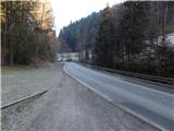 2
2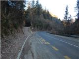 3
3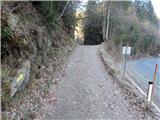 4
4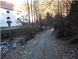 5
5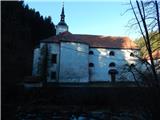 6
6 7
7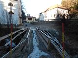 8
8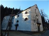 9
9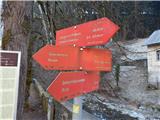 10
10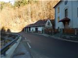 11
11 12
12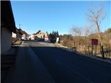 13
13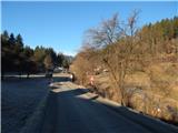 14
14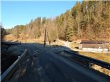 15
15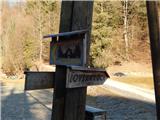 16
16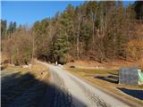 17
17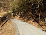 18
18 19
19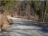 20
20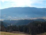 21
21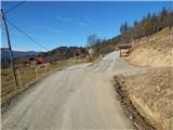 22
22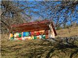 23
23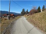 24
24 25
25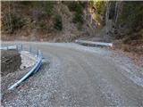 26
26 27
27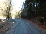 28
28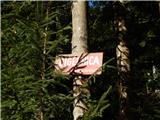 29
29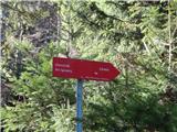 30
30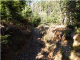 31
31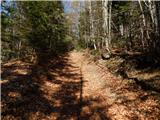 32
32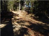 33
33 34
34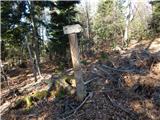 35
35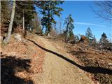 36
36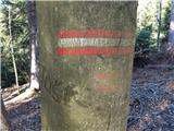 37
37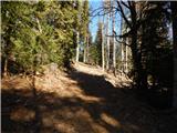 38
38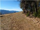 39
39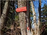 40
40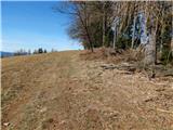 41
41 42
42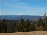 43
43