Rašica - Rašica (Vrh Staneta Kosca) (footpath)
Starting point: Rašica (400 m)
Starting point Lat/Lon: 46.1346°N 14.5043°E 
Path name: footpath
Time of walking: 55 min
Difficulty: easy marked way
Difficulty of skiing: easily
Altitude difference: 241 m
Altitude difference (by path): 241 m
Map: Ljubljana - okolica 1:50.000
Access to starting point:
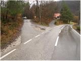
From Trzin bypass road we go in the direction of Črnuče and we follow the road ahead towards Ježica and Gameljne. Only a little before the bridge over the river Sava we turn right in the direction of village Gameljne. Further, we drive through Spodnje Gameljne to the village Srednje Gameljne, where at the crossroad we continue right in the direction of village Rašica. At the beginning of the village Rašica we get to a smaller crossroad, where a macadam road branches off to the left upwards by which there are signposts and a smaller parking lot.
Access to the starting point is possible also from Ljubljana and Gorenjska highway.
Path description:
From the parking lot, we continue on a macadam road by which we've parked. After few minutes of walking, we notice the blazes, which point us to the right on a footpath which ascends steeper through the forest. The path higher joins the other macadam road which we follow to the left. After a short ascent on the mentioned road we get to a marked crossing, where we continue sharply right on a footpath (straight mountain hut Dom na Rašici on the road). The path again steeply ascends and only few steps below the mountain hut joins a worse forest road.
From the hut, we continue on the wide path, which after few additional strides of gentle walking it brings us on peak Vrh Staneta Kosca on which there is a lookout tower.
Pictures:
 1
1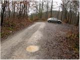 2
2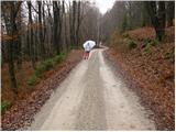 3
3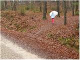 4
4 5
5 6
6 7
7 8
8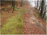 9
9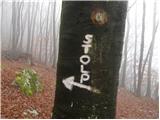 10
10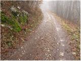 11
11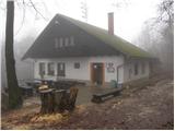 12
12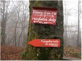 13
13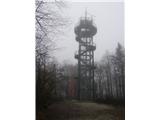 14
14